Fossil Springs: Hike The Bob Bear Trail to the Waterfall

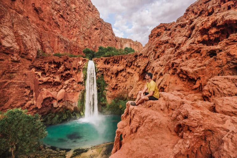
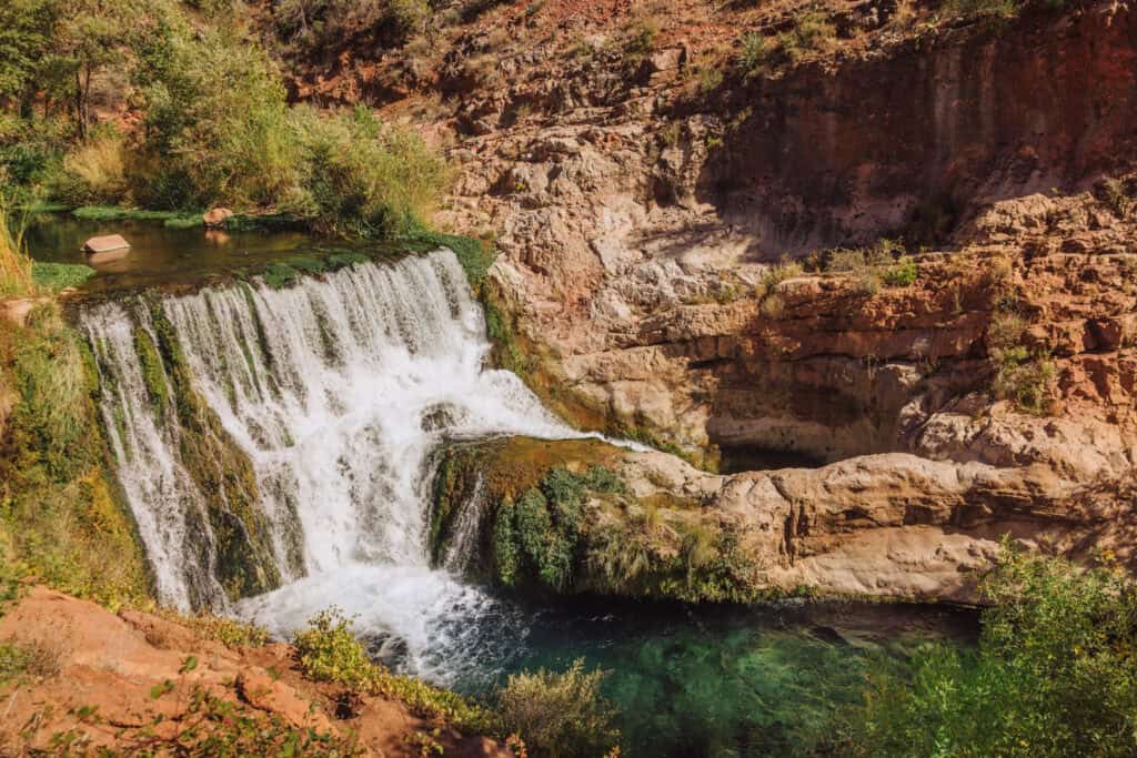
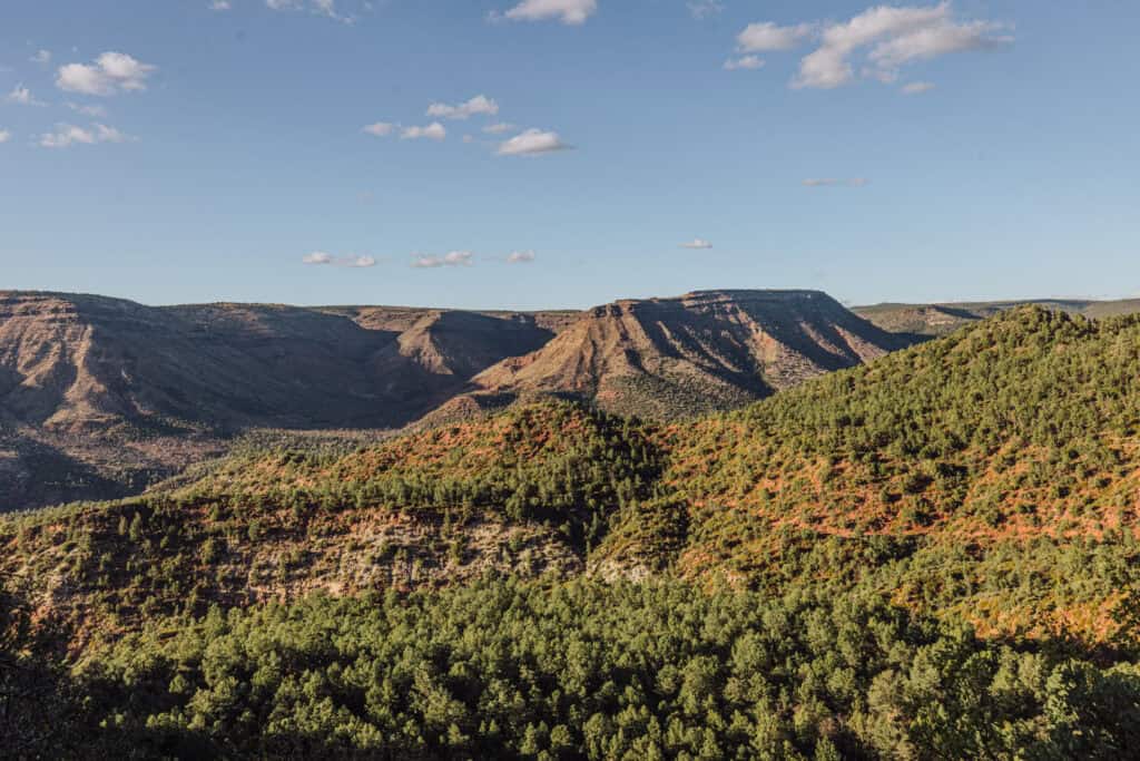
Hiking from the Bob Bear Trailhead, near Payson, Arizona, you’ll come to a beautiful waterfall and creek, in a state known for its desert landscapes.
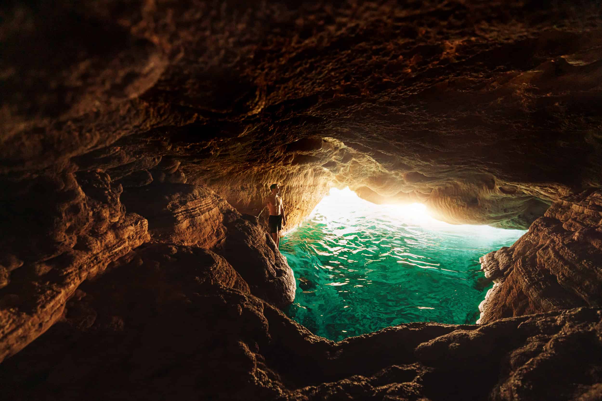
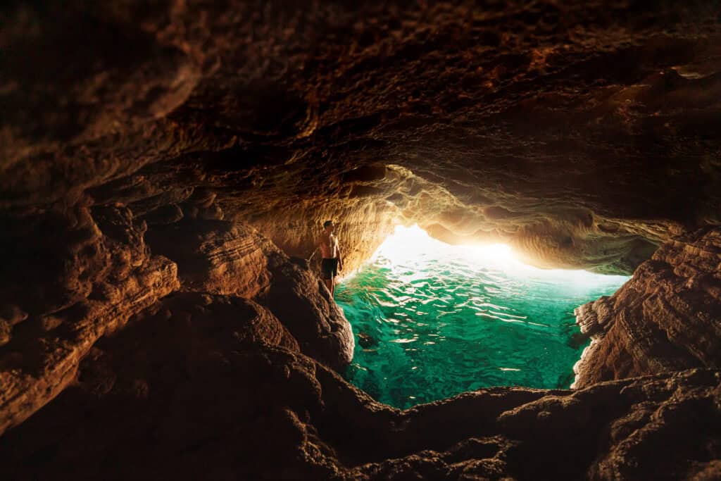
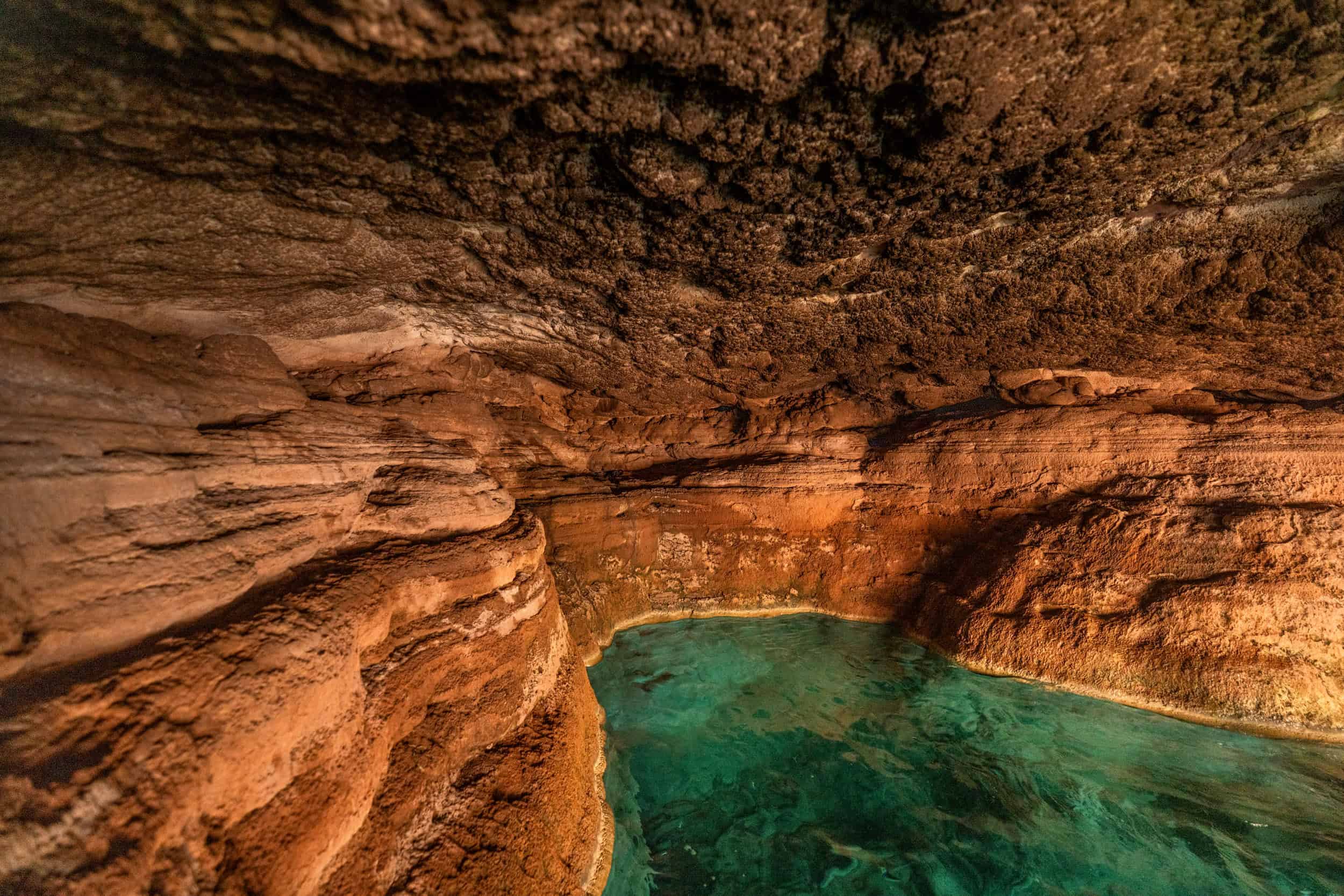
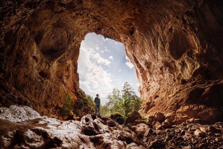
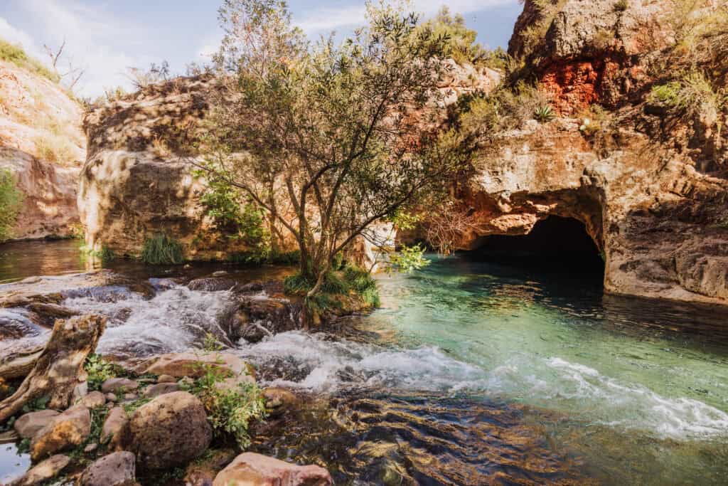
Natural springs feed a creek, which leads to swimming holes, and a stunning hidden cave where the water and light create a bright turquoise cove.
The Coconino and Tonto National Forest Service websites are misleading in spots, as are some of the signs you’ll find along the Bob Bear Trail. I’ll clarify it all below.
If you can manage the permit system and the lengthy hike down to the creek, it’s well worth a visit!
Key Info on Hiking the Bob Bear Trail
- You’ll need a permit to visit from April through September.
- It was known as the “Fossil Springs Trail” until recently.
- The closest town is Strawberry, AZ, a 2-hour drive from Phoenix.
- The Bob Bear Trail hike is 10 miles, roundtrip.
- It’s rated a “Difficult” hike, due to the 1500-foot change in elevation.
- Cell coverage is spotty, and nonexistent along parts of the trail.
- Seasons matter: it snows in the winter and is brutally hot in the summer.
How to Get Permits for Fossil Springs
First, let me go through the most boring, yet important process of permits. You’ll need a permit to hike the Bob Bear Trail to Fossil Spring for half the year.
Permits Required: April 1 – October 1
You’ll have to reserve a permit on Recreation.gov.
Permits are $6 per vehicle. You’ll need to pre-pay, print out your permit, and leave it on your dashboard in the parking lot.
The US Forest Service releases permits on a rolling, daily basis:
- 80% of permits are released and available for purchase one month before the reservation date. (Permits for July 4th are available on June 4th).
- The remaining 20% of permits are released *3 days before* the permit date. (Permits for July 4th are released July 1).
It’s not a lottery system each day. Permits are sold on a first-come, first-served basis.
No Permits Required: October 2 – March 31
You’re free to drive and park at the Bob Bear Trailhead from the fall through the winter into early spring. There are no parking or permit fees at all!
PRO TIP: October is an excellent time to visit, since it’ll still be warm enough to swim many days!
It does snow in the winter, and get rainy in the spring, so visits should be weather-dependent.
The gates are open 24-hours during the off-season.
Reasons for the Permit System
As Fossil Creek became wildly popular in the summer of 2015, the lots reached capacity by 7am, leaving hundreds of people to be turned away daily. The permit system prevents overcrowding for environmental reasons, and also makes visits more enjoyable.
Where to Stay Near Fossil Springs
There are several unique hotels in Strawberry, Pine, and Payson, Arizona, close to the Bob Bear Trailhead.
You can plug your dates into this interactive map (centered on Payson) to check the best rates on Hotels.com, Expedia, VRBO, and other sites all at once:
PRO TIP: A local Arizona favorite, close to the trailhead, is the Strawberry Inn.

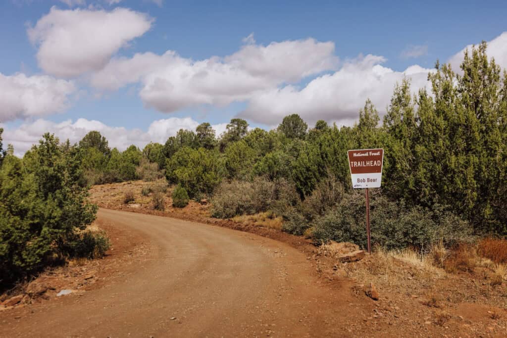
The Bob Bear Trailhead
Here’s what you can expect when you arrive at the Bob Bear Trailhead.
First, these are your drive times:
- 15 minutes from Pine
- 30 minutes from Payson
- 2 hours from Phoenix
The final stretch of road is dirt, which is usually pretty smooth on the way to the trailhead.
Trailhead Parking
Because of the reservation & permit system, you should be able to find a parking spot at the trailhead. I’d still get there early!
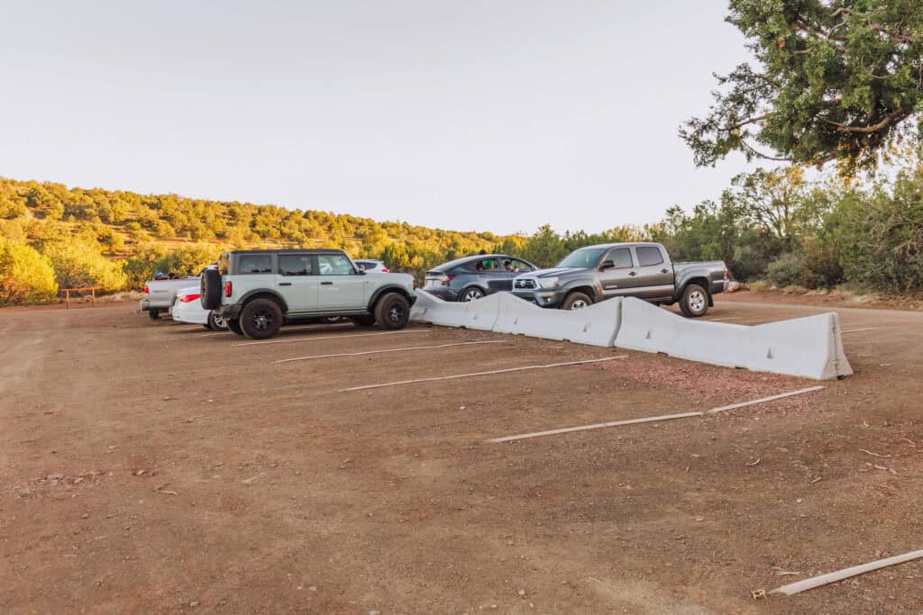
You’ll find vaulted outhouse toilets, and some signs about fire danger and trail conditions, but no other services at the trailhead.
That means: bring all of your own food and water with you!
PRO TIP: Be sure to leave food and water in a cooler in your vehicle. You’ll want it post-hike!
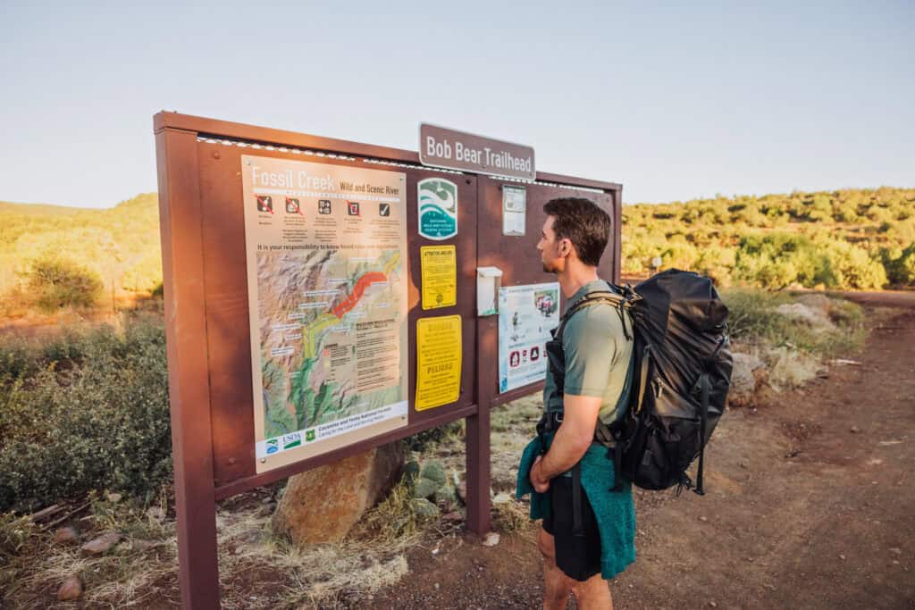
Hiking to Fossil Springs
The Bob Bear Trail (formerly Fossil Springs Trail) itself has changed over the years. It closed for a wildfire in 2023, and reopened with some noticeable changes due to rain and rockslides in the area.
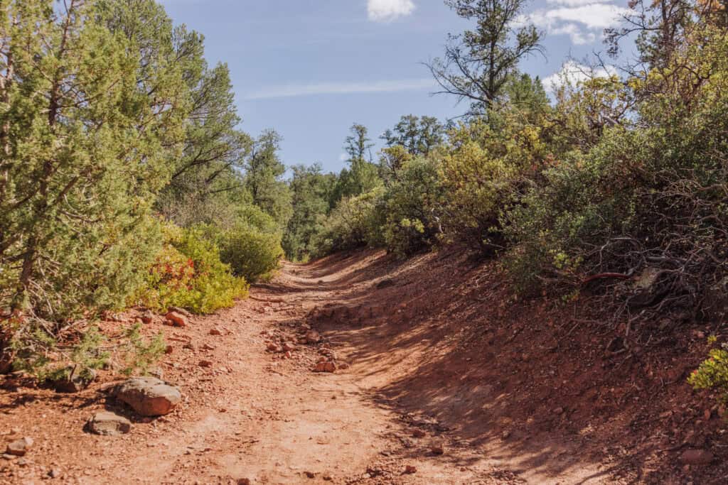
A few key things:
- Signs may say it’s 4 miles, but it’s 5 miles from the trailhead to the waterfall.
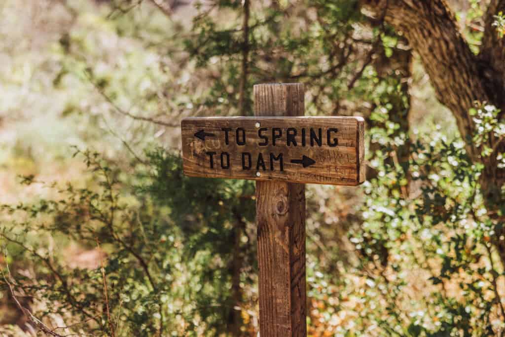
- Other signs will say this is *not* the trail to the waterfall. Ignore them. The Bob Bear Trail *will* lead you to the waterfall in these photos.
- Dogs are allowed, and are supposed to be leashed.
- Camping is allowed only in certain areas, and not near the creek.
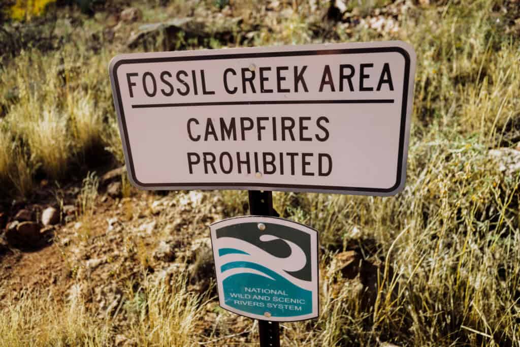
- Campfires are prohibited along the creek.
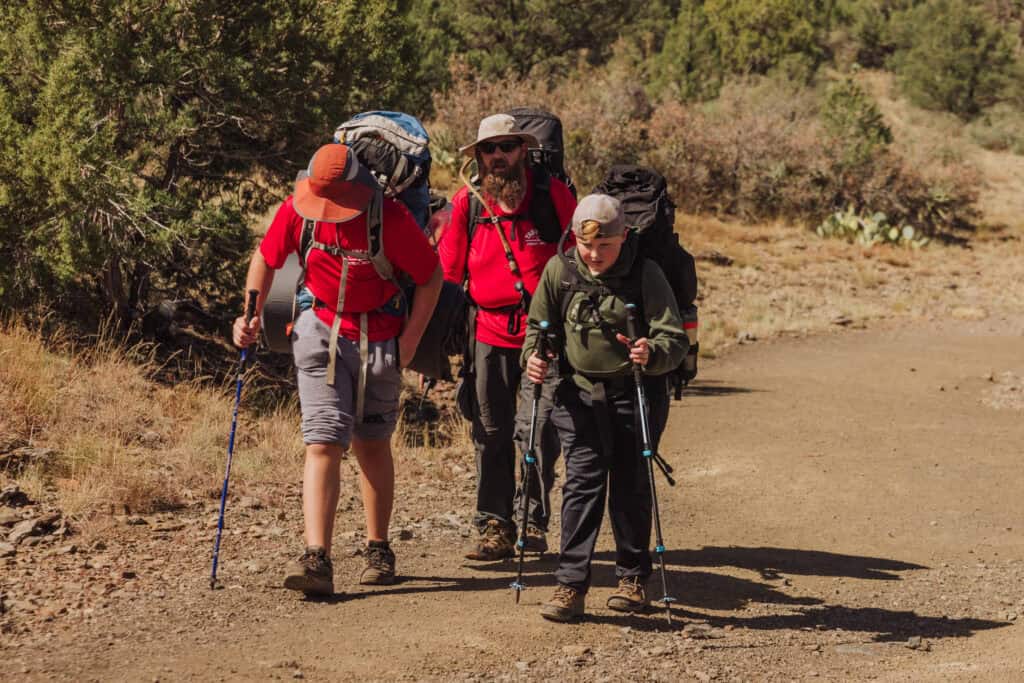
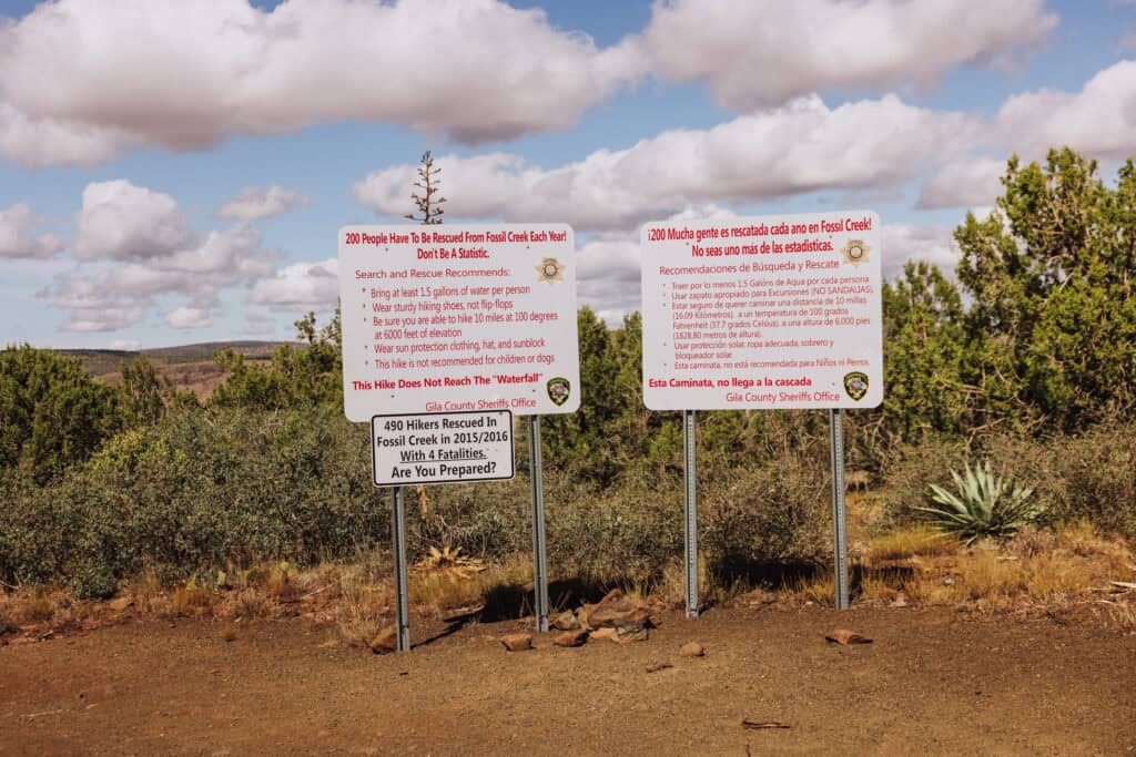
Shortly after beginning your hike, you’ll come across the large signs, warning you about the dangers and the number of rescues crews have been called to over the years. It’s important information from the Gila County Sheriff’s Office. Generally speaking, as long as you have enough water, you’ll be fine.
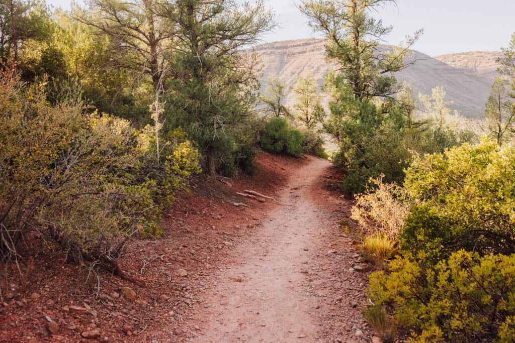
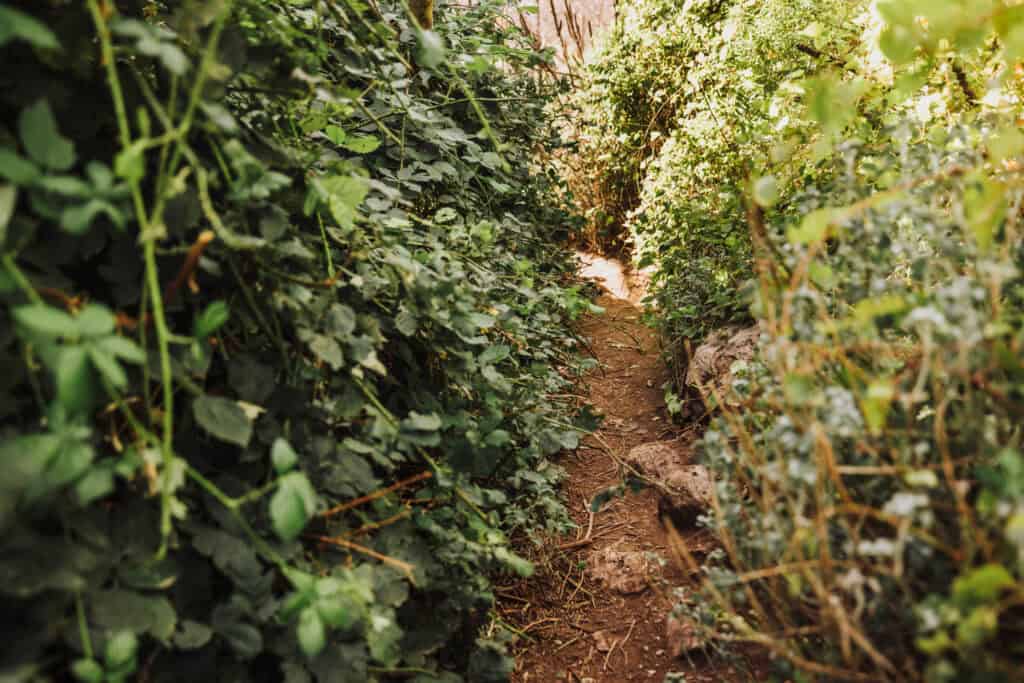
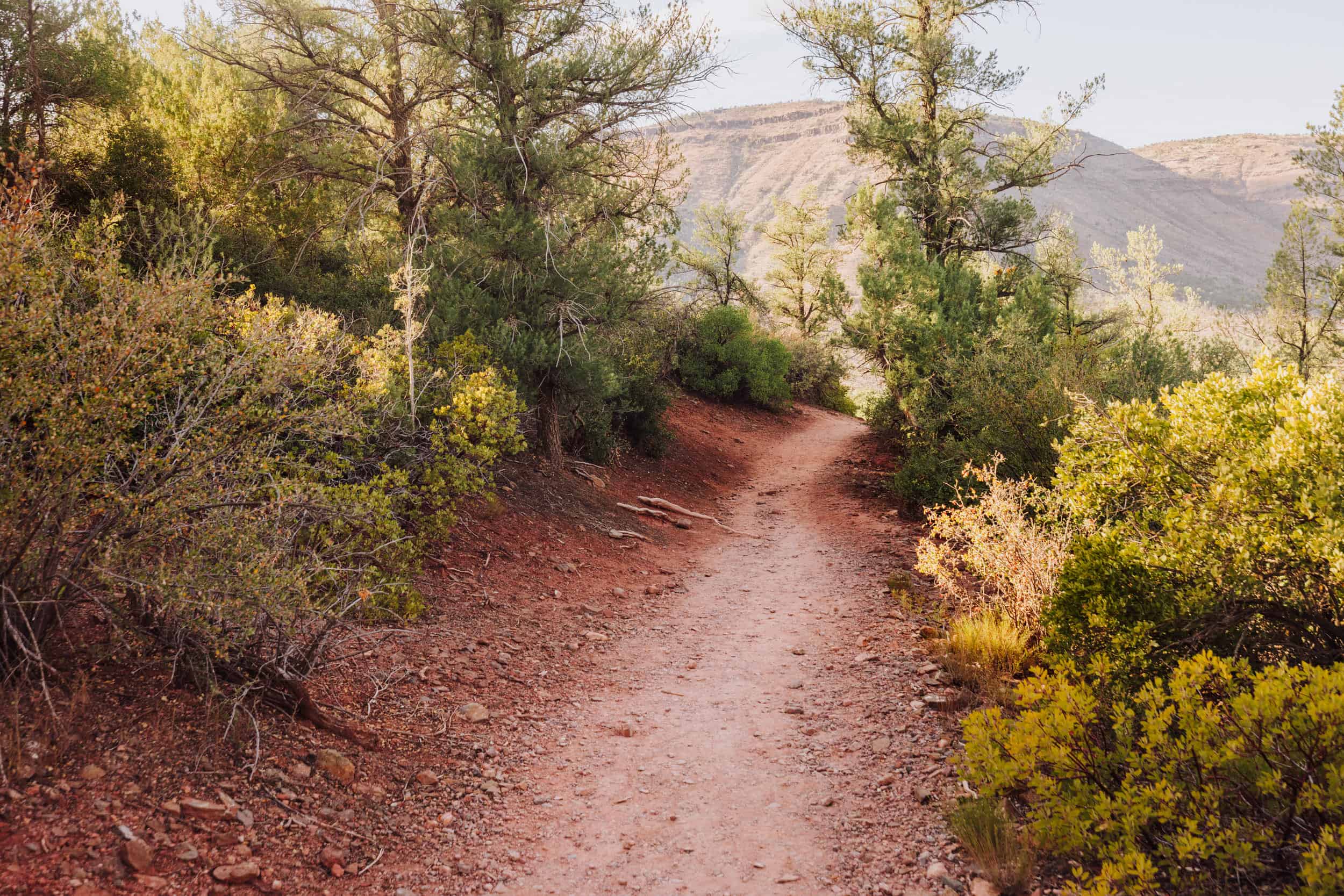
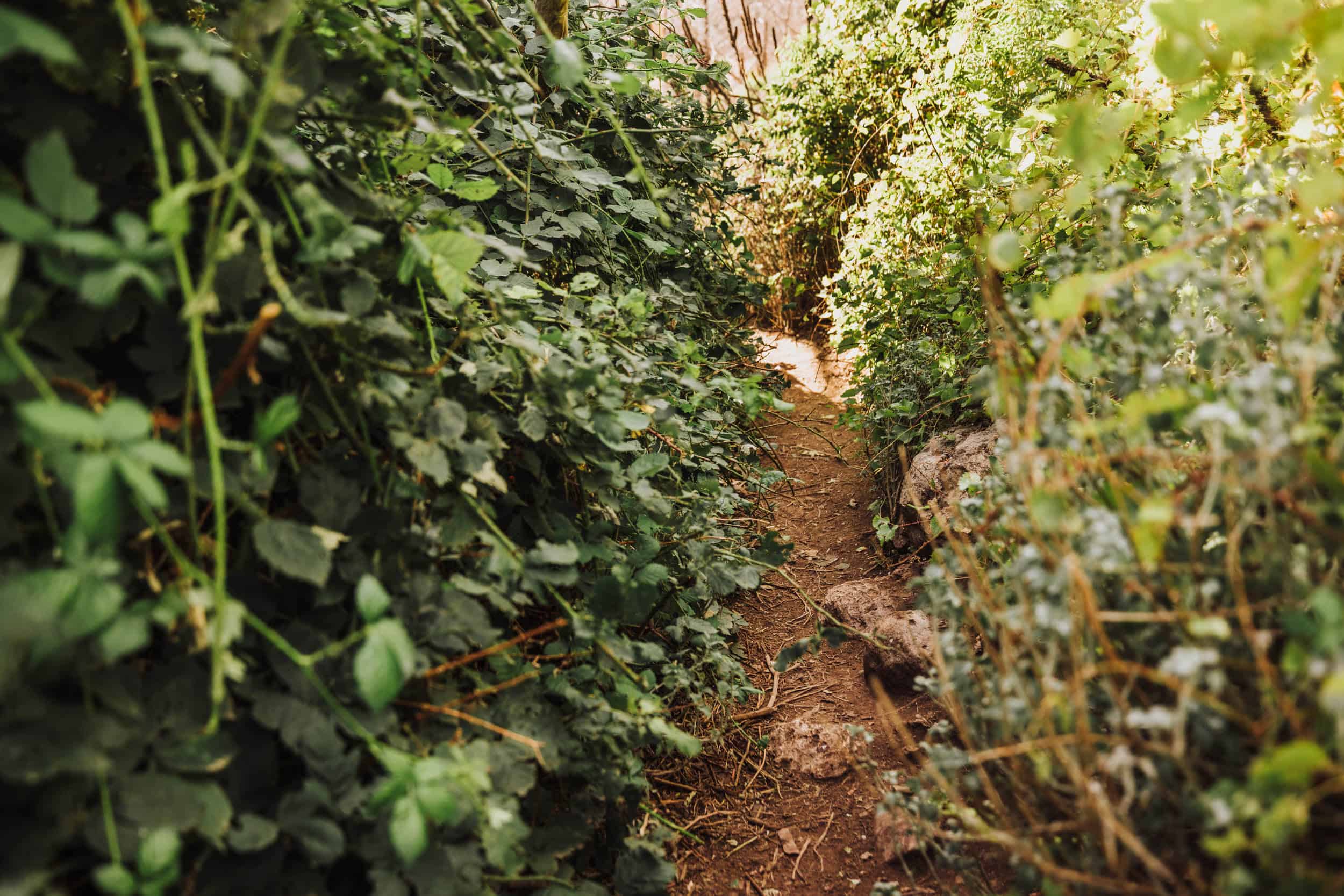
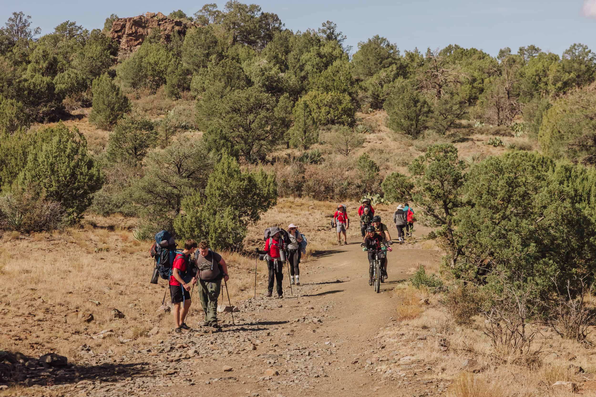
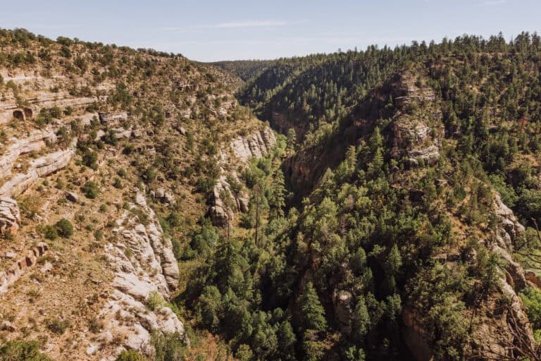
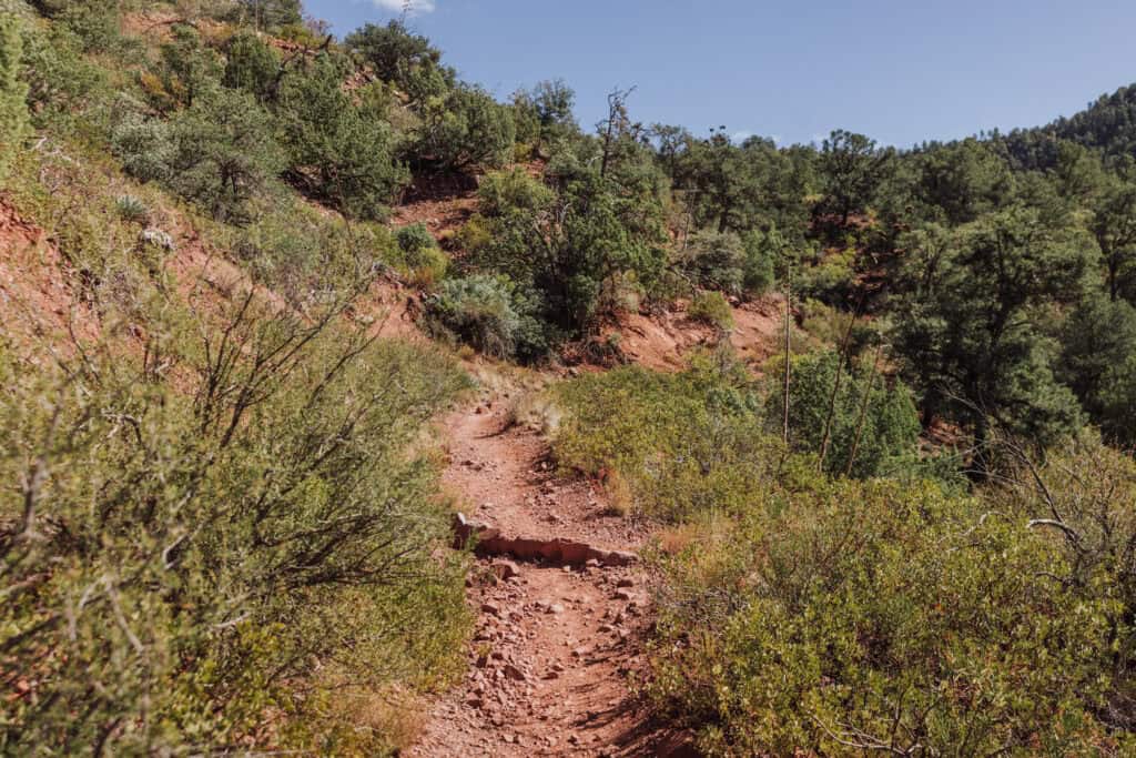
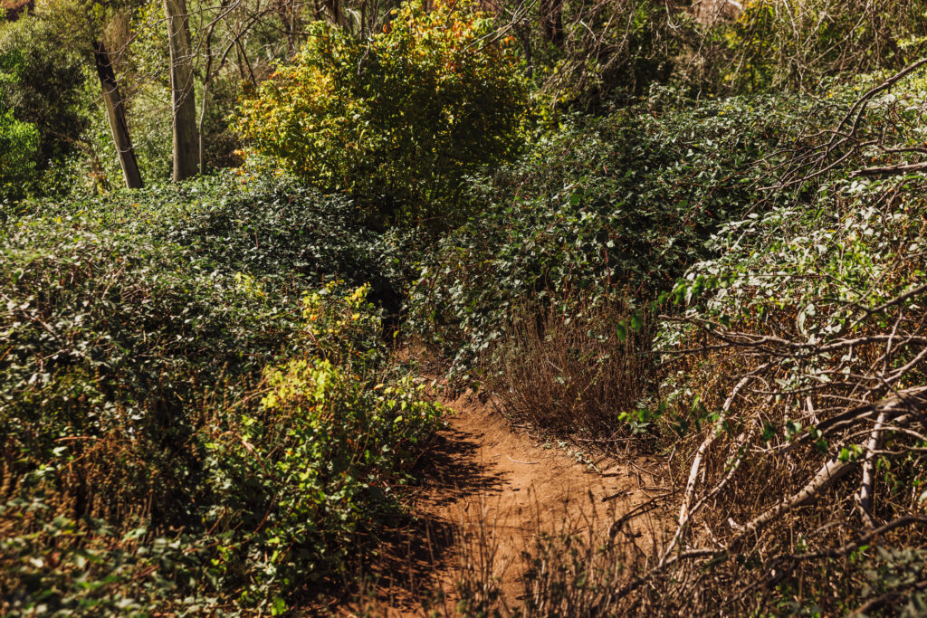
The trail will take you down 4 miles of mostly declining terrain.
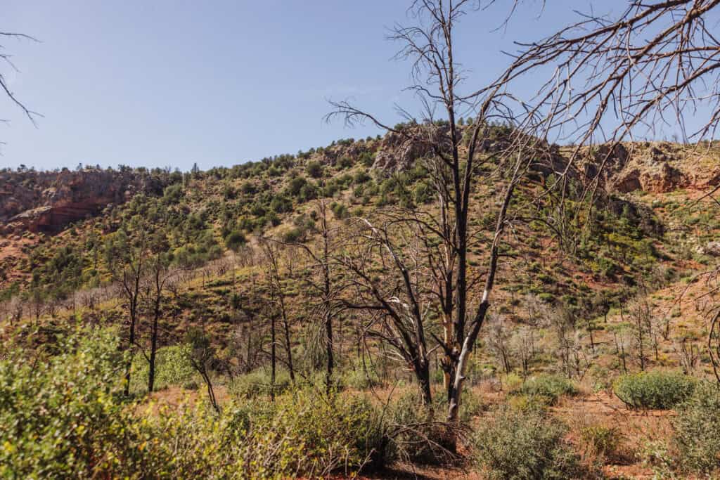
Along the way, you’ll see trees, charred by a recent wildfire, along with green new growth.
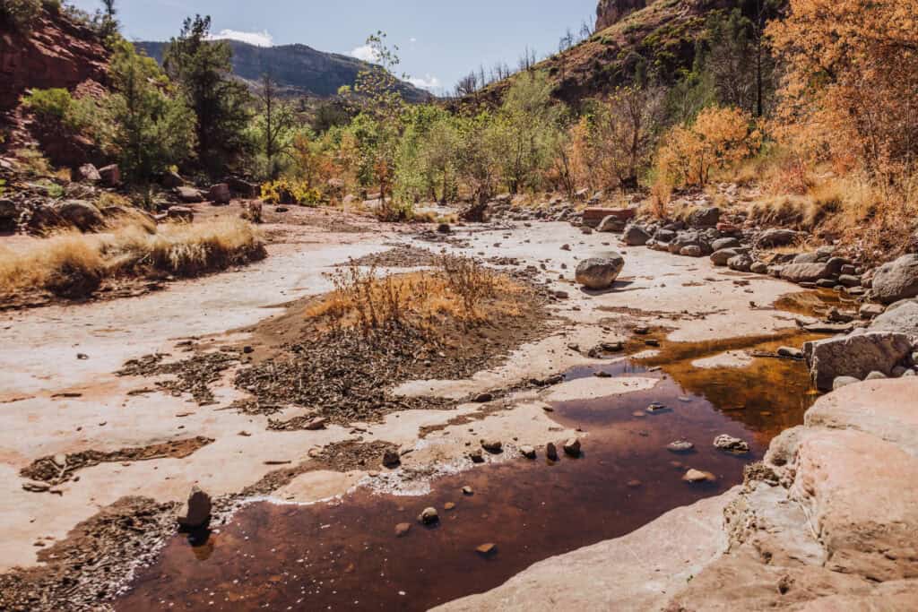
After about 4 miles on the dirt trail, you’ll know you’re finally getting close to Fossil Creek when you walk over a large, flat stone area (below). The spring is nearby.
Hike Difficulty
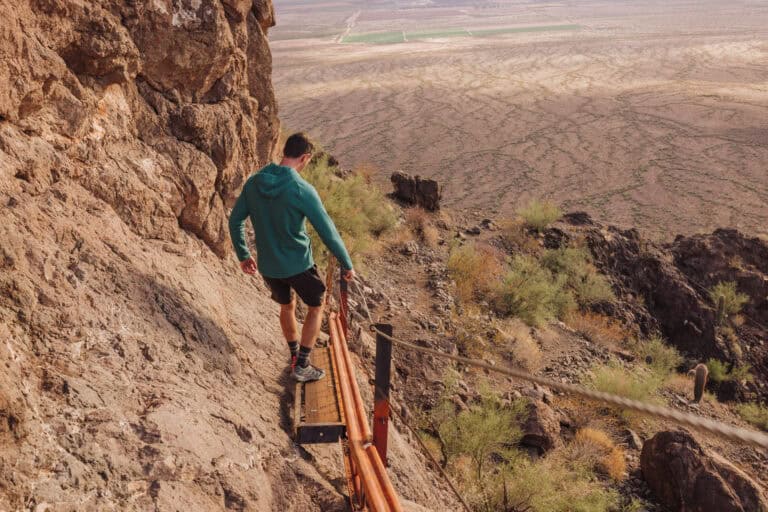
The only challenging part about the 5 miles down to Fossil Creek is not sliding on some of the loose gravel along the path. Otherwise, it’s a nice hike.
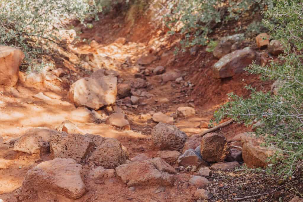
The reason the Bob Bear Trail is rated as “difficult” is the hike out, of course. It’s a 5-mile haul, after enjoying your time swimming and lounging around the creek and waterfall. Over those 5 miles, you’ll gain 1500 feet in elevation, so much of it is uphill.
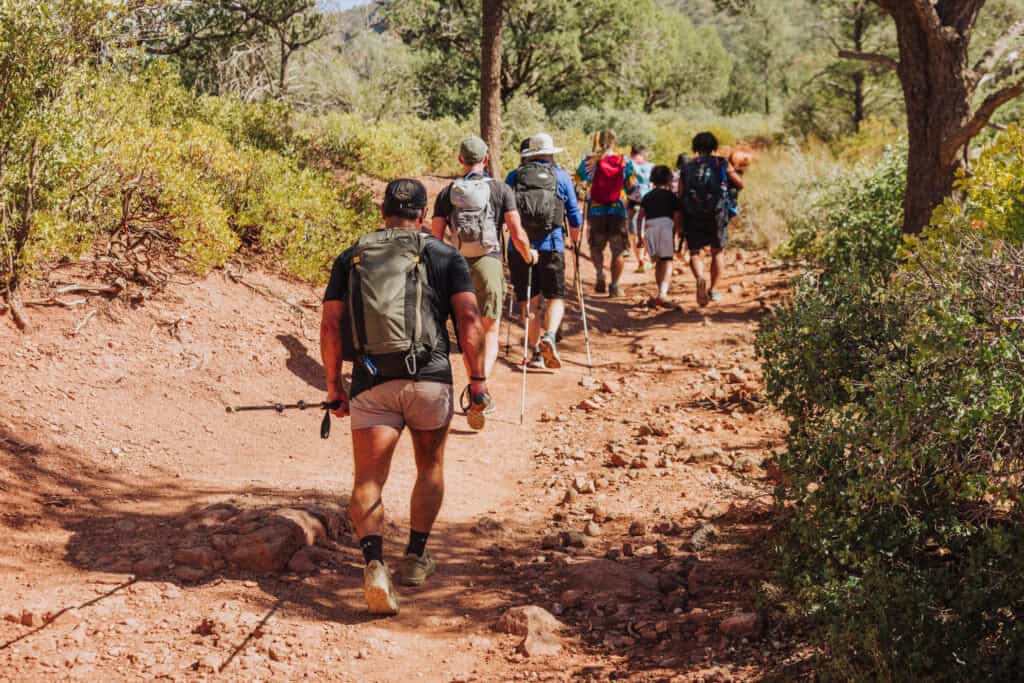
There’s minimal shade in some parts of the hike, so especially on the sunny, hot summer days, it takes a toll.
It’s very important to make sure you save most of your water for the hike out.
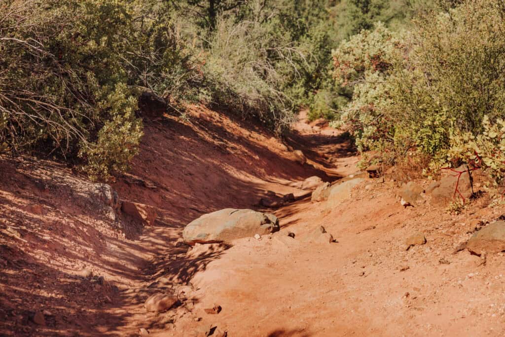
Biking on the Trail
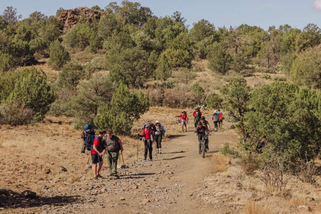
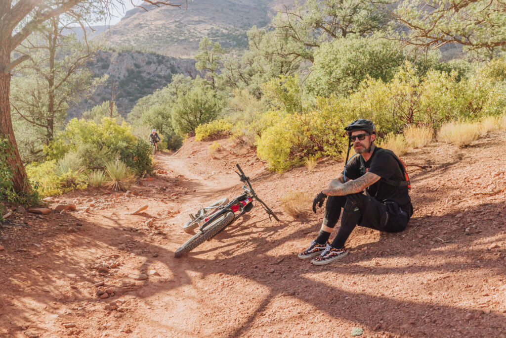
Bikes and e-bikes are allowed along most of the trail, but it’s rough terrain. You’ll definitely have to get off and walk the bike in parts. On our last visit, we saw e-bikers, who regretted having to haul the extra heavy bike up in the spots where the trail is too rough to ride.
Fossil Springs & Waterfall
The final mile of the hike begins at Fossil Springs. You’ll follow Fossil Creek down to the waterfall and swimming area.
Fossil Spring
More than 4-miles into the trail, you’ll see a sign for Fossil Spring, the natural water source for Fossil Creek in the Tonto National Forest.
When you hike down to it in a remote area near the Mogollon Rim, the spring itself may at first seem unremarkable. But it pumps out 20,000 gallons of water per minute, meaning it could fill the average swimming pool in Arizona in one minute! That’s impressive, considering my hose took a full day to fill my pool.
It gurgles out of the ground, right off the hiking trail:
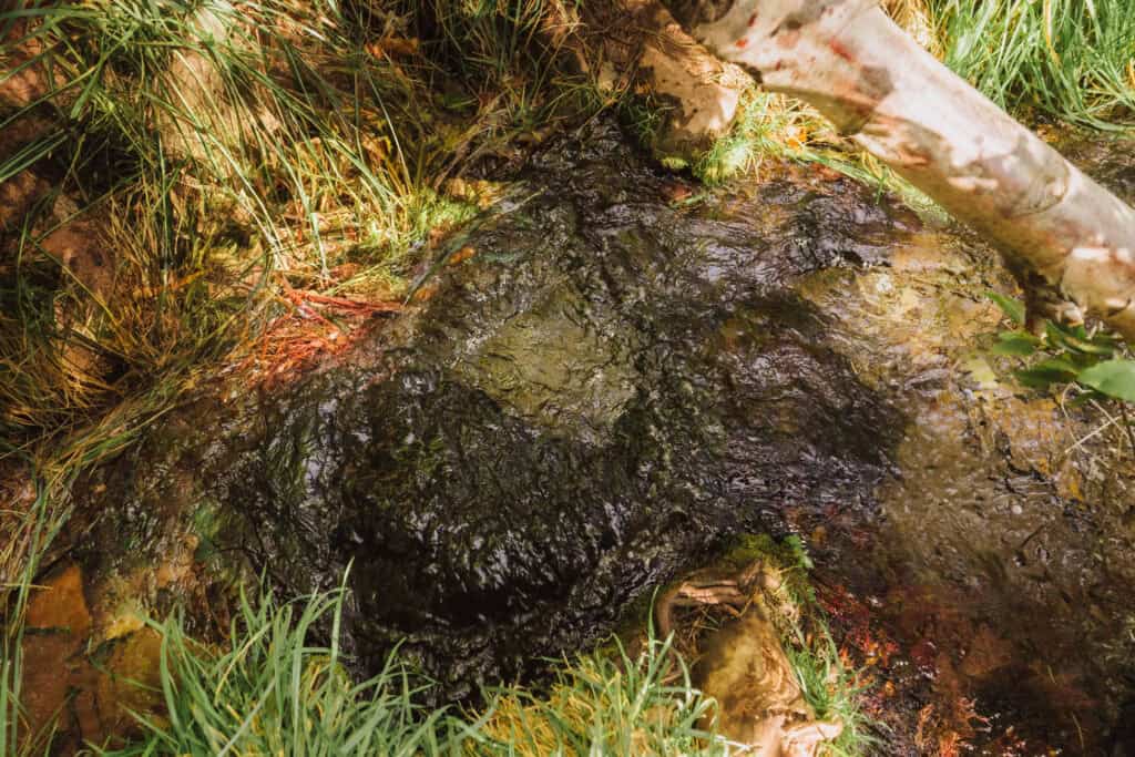
The flow is consistent year-round, as groundwater stored in the limestone aquifer is naturally pumped up to the surface. The spring water is mineral-rich, especially in calcium carbonate, which contributes to the formation of travertine—creating terraces, pools, and unique rock formations downstream.
The spring’s water is usually around 70 degrees year-round.
It nurtures a lush riparian ecosystem, supporting plant and animal life, including cottonwood trees, willows, and a variety of fish and birds for a stretch of several miles.
The Waterfall (Old Fossil Spring Dam)
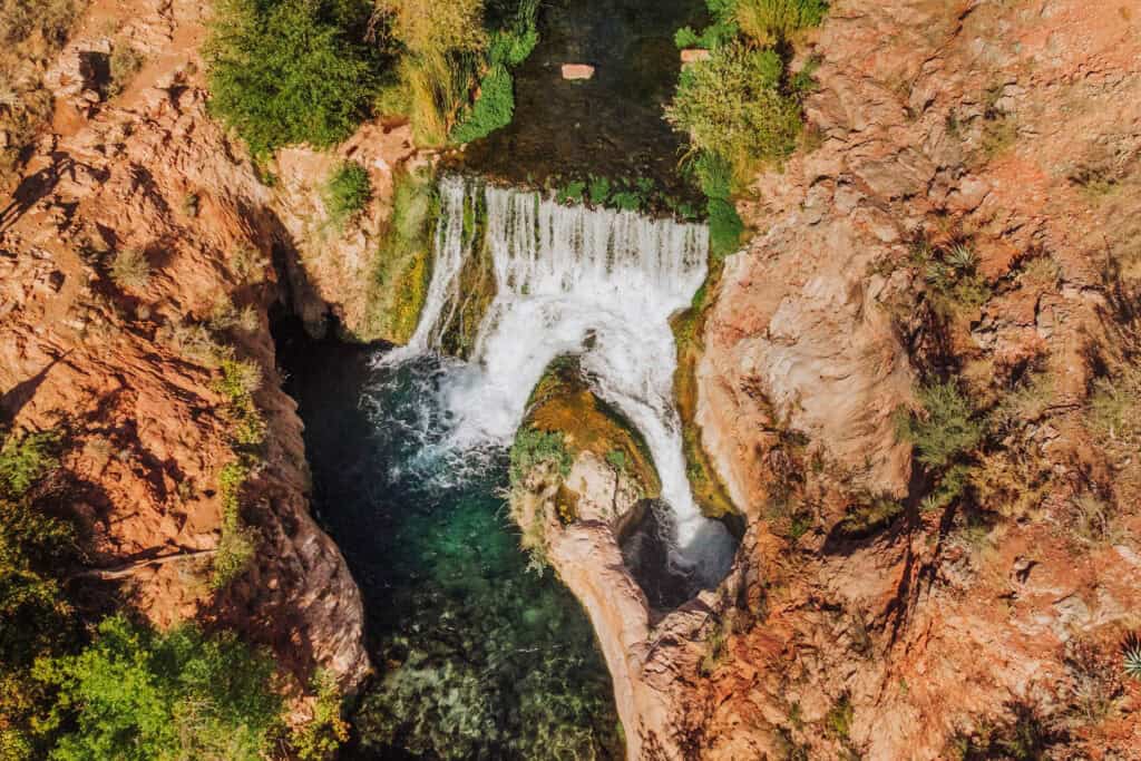
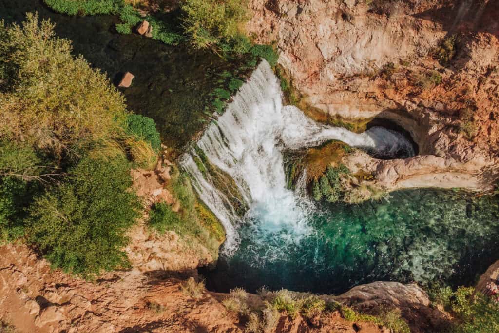
Despite the signs you’ll see along the way, telling you that the Bob Bear Trail won’t bring you to the waterfall, it *will* bring you to remnants of the old Fossil Spring Dam, which creates a waterfall.
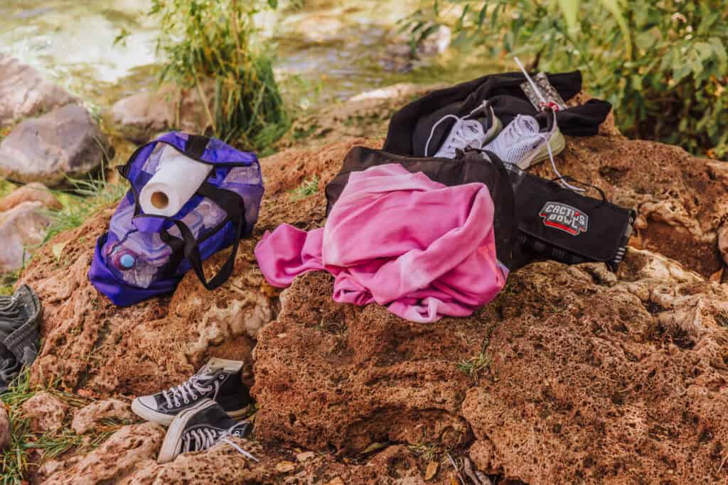
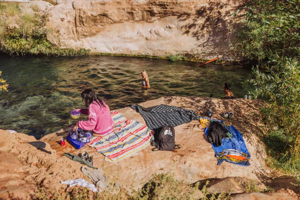
The creek water is crystal clear, creating a beautiful setting for relaxation on the rocks or swimming.
The creek flows between trees and rocks, creating mini “shutes” to ride through.
Swimming in The Cove
The minerals in the spring water deposit travertine (a type of limestone) as the water flows over rocks, giving Fossil Creek its distinctive turquoise color and creating beautiful waterfalls and pools.
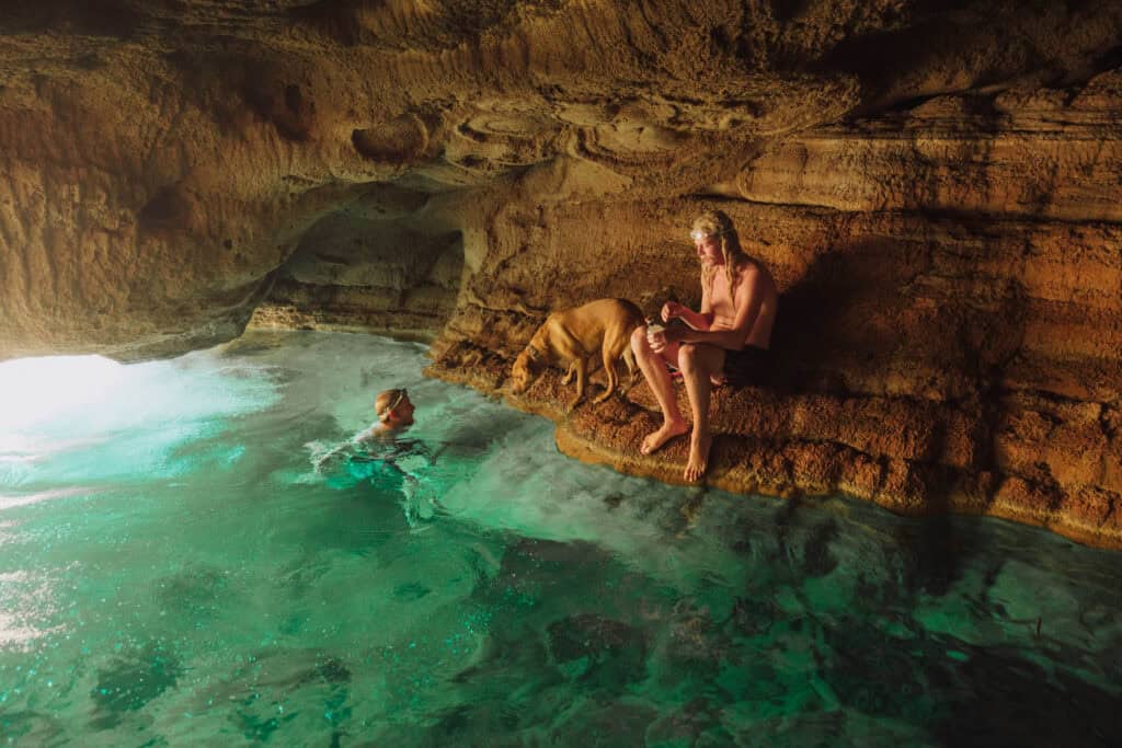
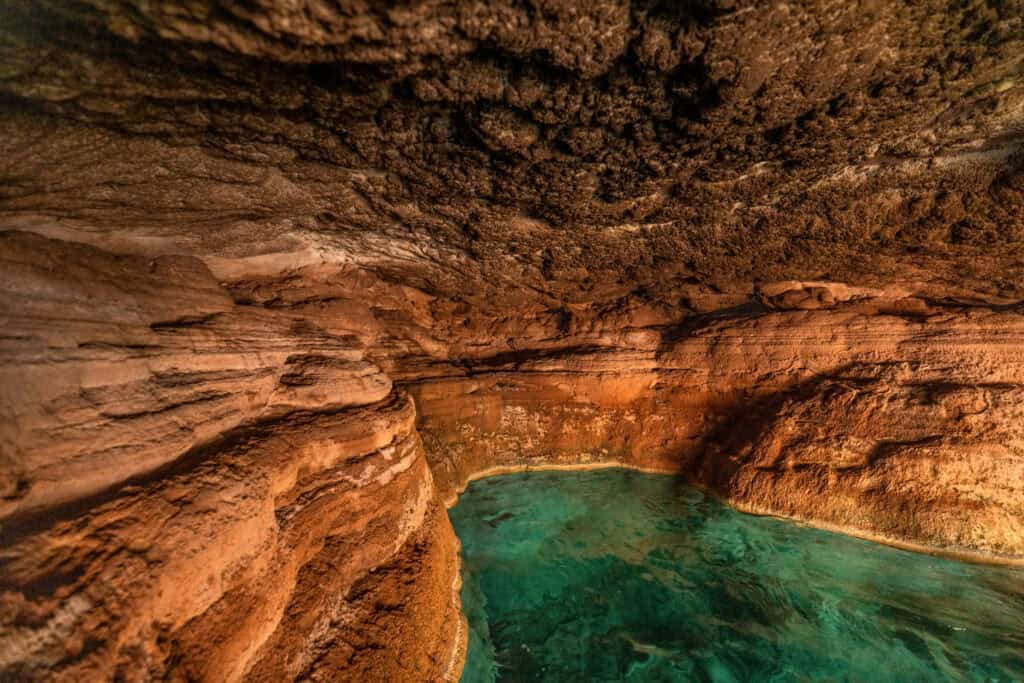
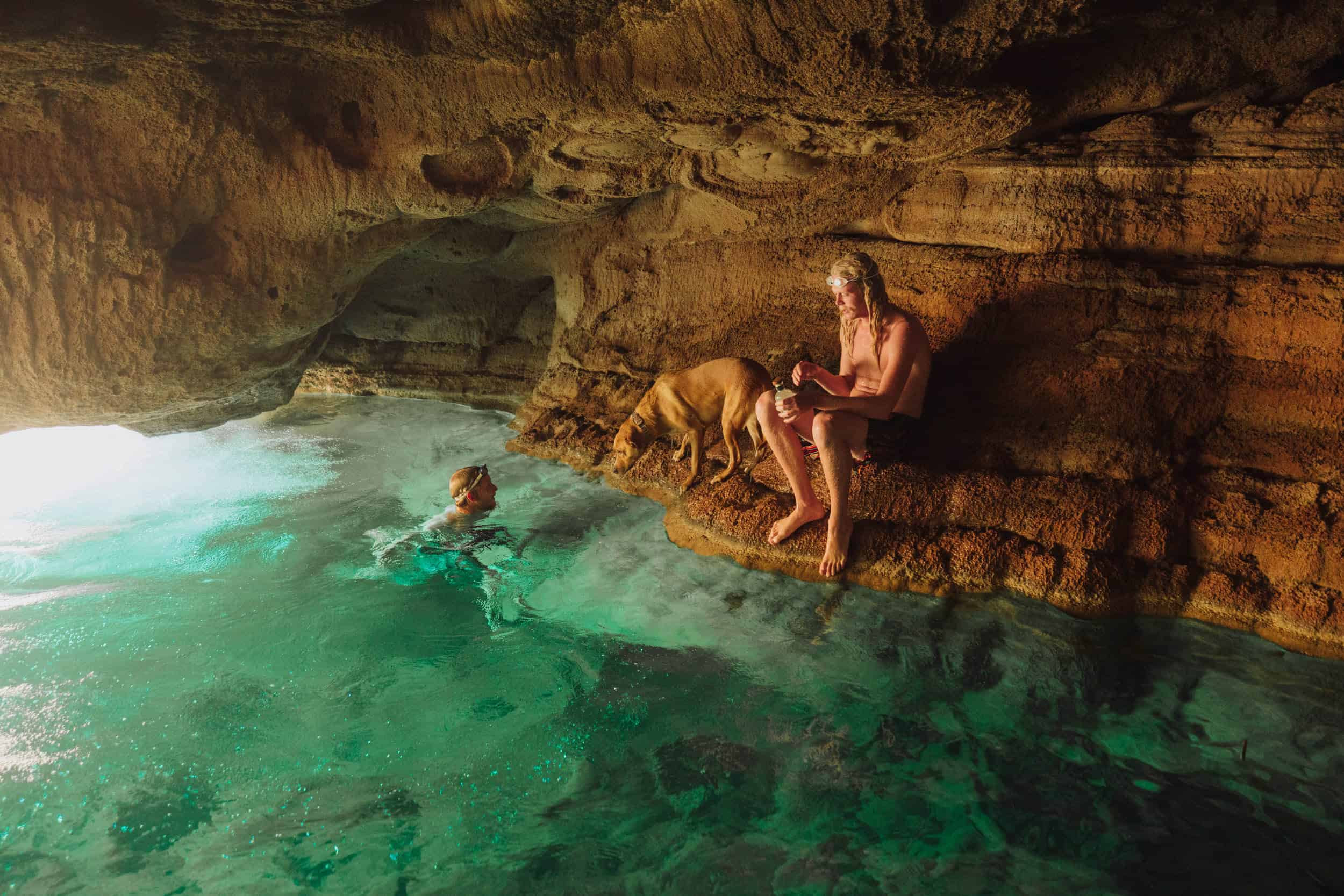
From the outside, the cave under the rocks looks unimpressive. Even if it’s cold out, it’s worth swimming against the current to see it from the *inside!
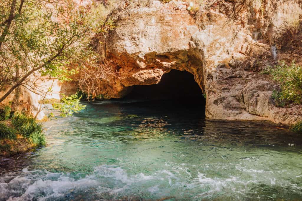
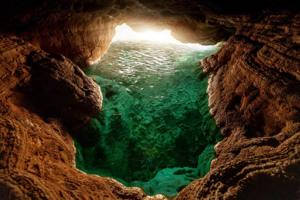
The light, combined with minerals in the water and the travertine base creates an iridescent green-blue glow.
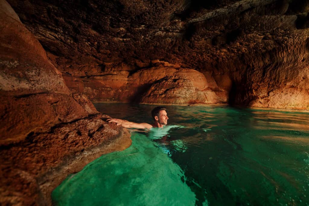
With a wide angle lens, you can see the rocky ledges inside for you to hang on to our sit on, while you enjoy the incredible view.
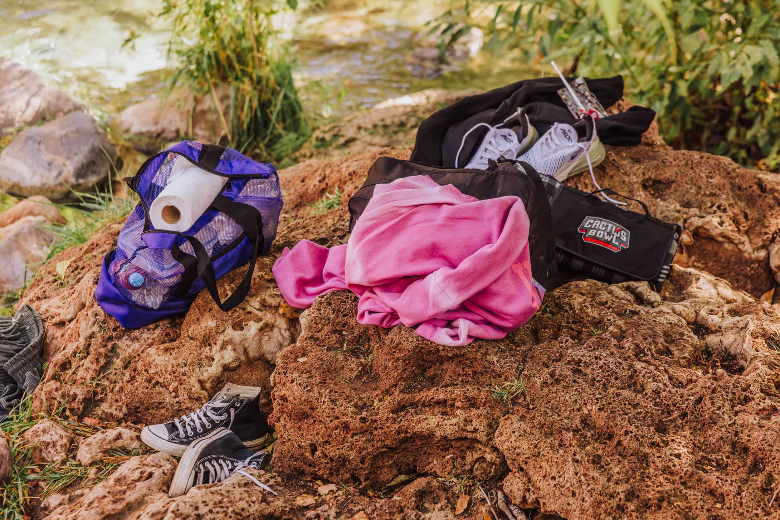
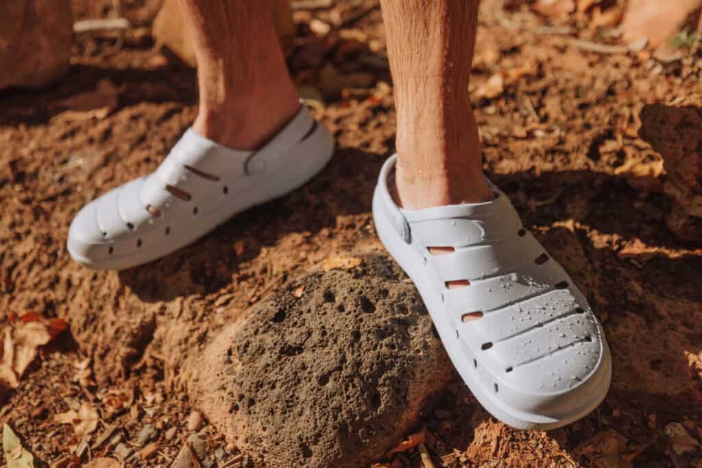
Pro Tip: Bring water shoes! The rocks are slippery and jagged, so you’ll definitely want to wear shoes swimming in Fossil Creek.
The water in the cove is over your head, so just beware that you will have to swim. Plus, be careful of downed trees that lurk underwater. There are a lot of tripping hazards, and the current will steer you toward them.
Warning: Deadly Incidents at the Toilet Bowl
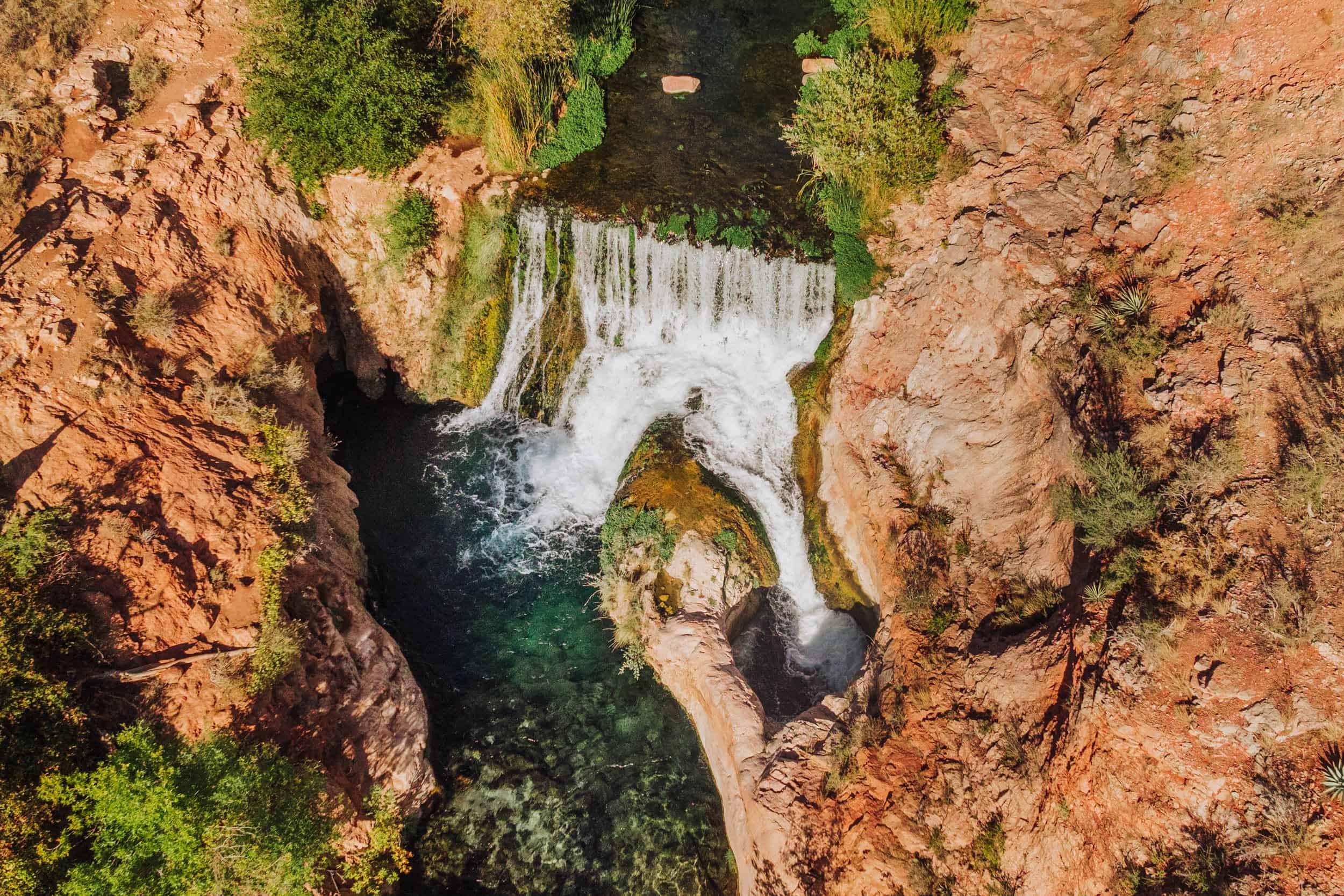
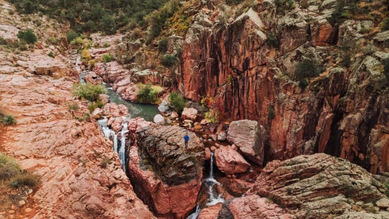
Just below the waterfall is a spot known as the “Toilet Bowl.” It’s a plunge pool that sadly has taken too many lives. From this aerial view, you can see where it gets its name.
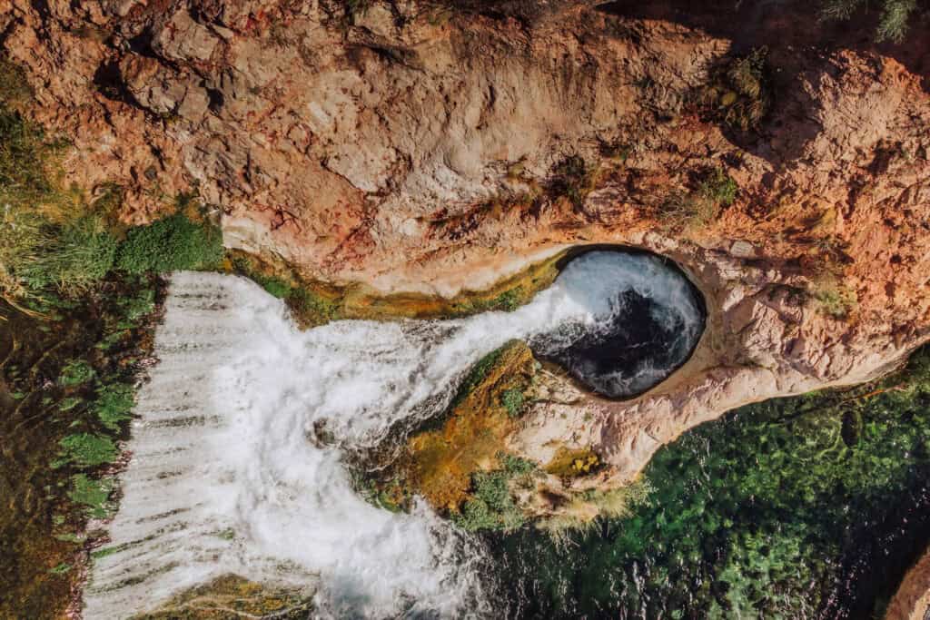
The internet is full of videos of people jumping into it, and plunging down through the rocks, emerging safely on the other side.
The combination of powerful currents, a narrow underwater tunnel, and unpredictable whirlpools proved deadly several times just in 2024 alone.
The area’s remote location adds to the risk, making rescues challenging and delaying emergency response.
The Best Time to Hike
Personally, I’d say fall is the best time to visit, since the scorching heat won’t be so miserable on your hike out! At the same time, it should be warm enough to enjoy swimming.
If you can get permits in the busy summer months, it’s still worth a visit! Just bring enough water for the hike out.
Here’s a brief overview of what you can expect in this part of Arizona (generally speaking):
Spring (March-May)
Mild and pleasant, with daytime highs in the 60s-70s, and 80s in May. It’s a great time to hike, just check the forecast for rain.
Summer (June-August)
Warm, but not hot like Phoenix. Expect highs in the 80s-90s-100+. A summertime factor to consider: monsoon storms, which bring rain storms from late July into September.
Fall (September-November)
Cooler with highs in the 80s in September, dropping to the 60s in November. Remember: the sun sets in the 5 o’clock hour by October, so that’ll shorten your hiking day.
Winter (December-February)
Chilly, with highs in the 40s usually. Expect occasional snowfall!
Fossil Springs vs. Fossil Creek: The Differences
Fossil Creek and Fossil Springs are closely related, spanning both the Tonto and Coconino National Forests. They differ slightly:
Fossil Springs
- Source of the Creek: Fossil Springs is the natural spring that feeds Fossil Creek.
- Access: The springs themselves are more remote and typically accessed via the Bob Bear Trailhead, which involves a challenging 10-mile hike.
Fossil Creek
- The Stream: Fossil Creek is the river formed by water flowing from Fossil Springs.
- Access: You’ll access the Fossil Creek trails from the west side (Camp Verde area). Several parking lots and trailheads will lead hikers to the creek and waterfall A permit is required to from April through October.
Key Difference:
- Fossil Springs is the source of the water, and the old Fossil Springs Trail (now Bob Bear Trail) leads to the springs, cove, and dam waterfall.
- Fossil Creek is downstream from the springs, and easier to access in terms of parking available and a much shorter hike.
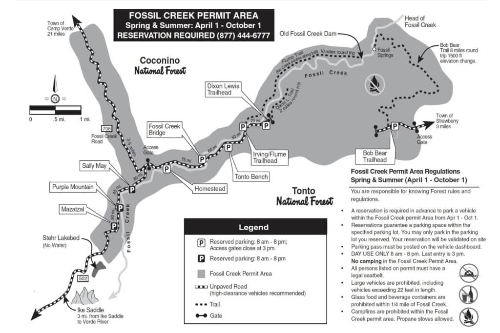
Map of Fossil Creek
You can see the Bob Bear Trail on the east side of the map, and the Fossil Creek trails and parking lots on the west side of the map:
