Hike Devil’s Bridge: Sedona’s Iconic Red Rock Arch

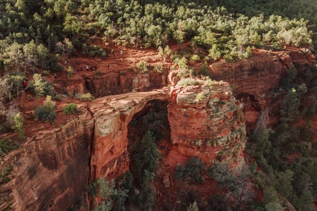
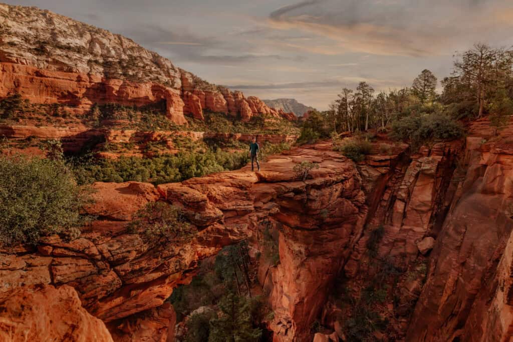
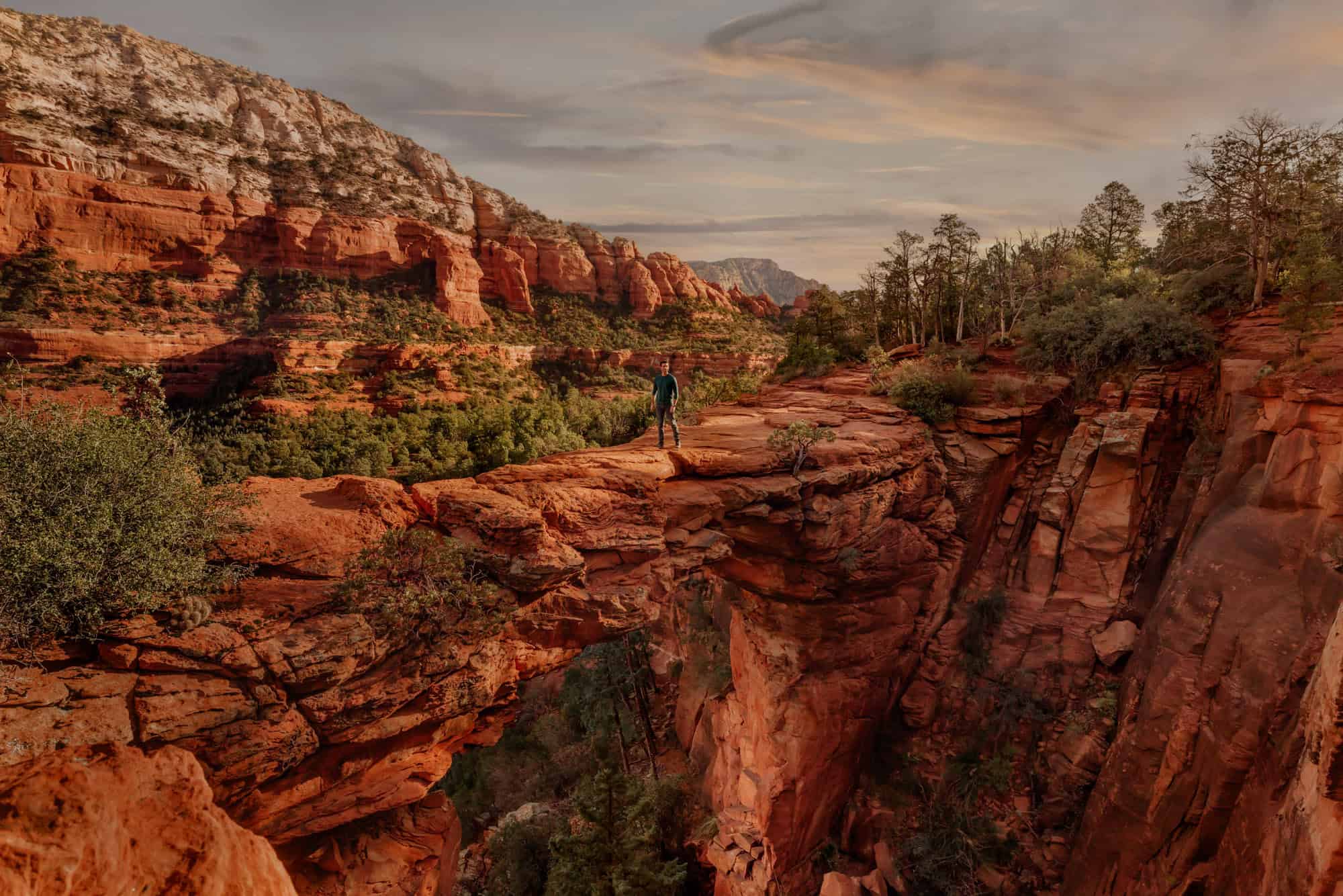
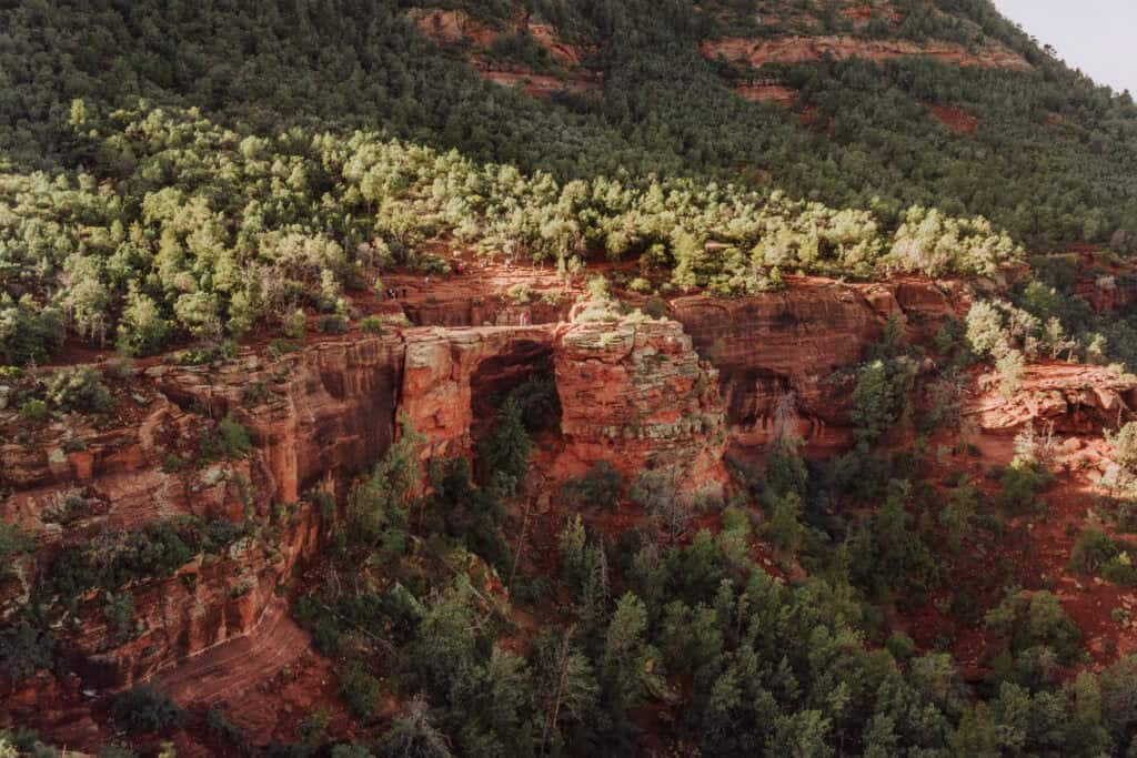
Devil’s Bridge is the largest sandstone arch in the Sedona area.
It spans across the Coconino National Forest, with stunning views of the famous red rocks!
Key Info About Devil’s Bridge in Sedona:
- There are two trailhead options close to the city.
- There’s no reservation or permit needed.
- Parking is limited.
- Expect a crowd most days of the year.
- The trail is manageable for most hikers in any condition.
Where to Stay in Sedona, AZ
There are plenty of hotels, resorts, and rental opportunities in Sedona. You can plug your dates into this interactive map to check out what’s available. It’s centered on the trailhead area, so you can see how close Sedona’s hotels are:
Take an ATV to Devil’s Bridge
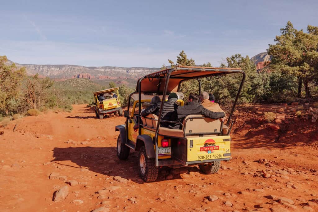
Sedona is known for its ATV tours around the red rocks. The option that includes a ride to Devil’s Bridge isn’t currently available.
But it’s so easy to get there on your own, you really don’t need a tour.
You can rent an ATV to take out for the day! This location is down the road from the Devil’s Bridge trailhead:
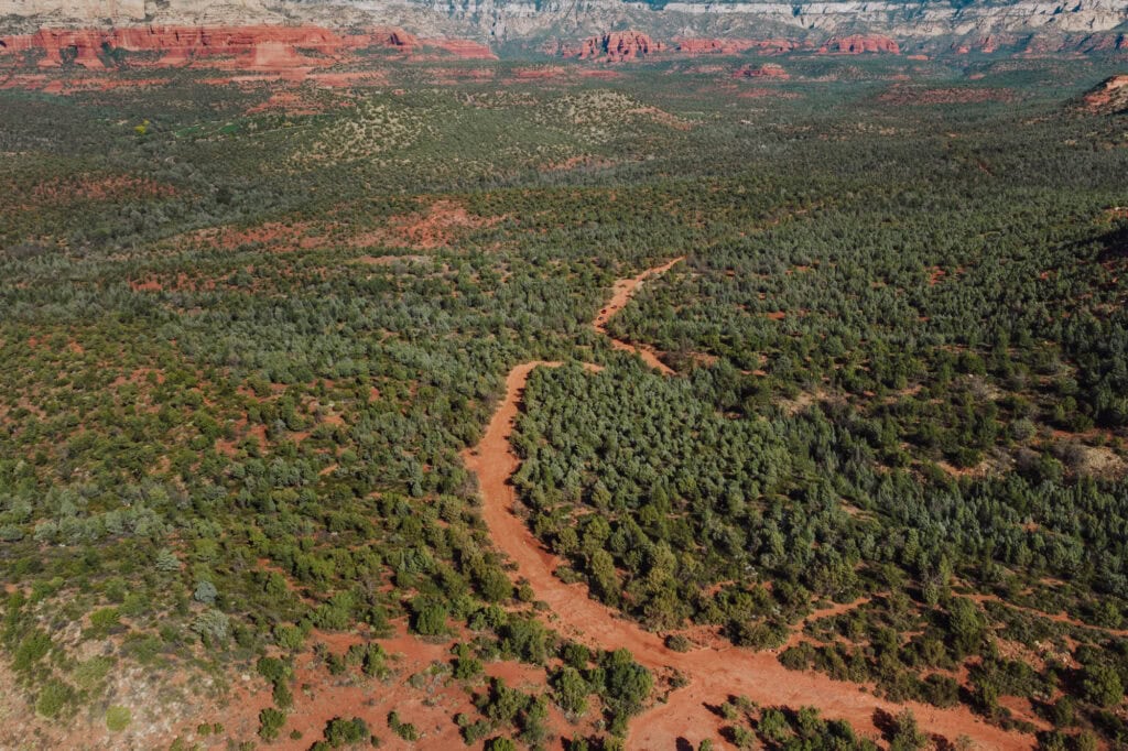
After renting from Sedona ATV, head up to the Dry Creek Trailhead, and down the rocky dirt road🙌
Map of Devil’s Bridge in Sedona
This map of the Devil’s Bridge area, just northwest of Sedona, is centered on the Dry Creek Trailhead. It’s one of two parking options for the hike.
The green hiker label that says “Devil’s Bridge Trailhead” marks the start of the climb up the rocky steps.
You can also see on the map how close this is to other amazing hikes in the area, like Soldier’s Pass and the Seven Sacred Pools.
Devil’s Bridge Trailhead Parking
You have two trailhead options to choose from, when it comes to parking for Devil’s Bridge.
Each is about two miles from Devil’s Bridge, and requires a flat walk along a dirt road before you arrive at the rocks.
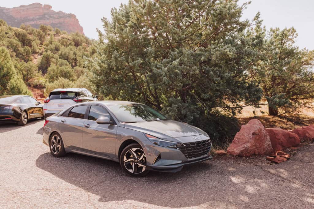
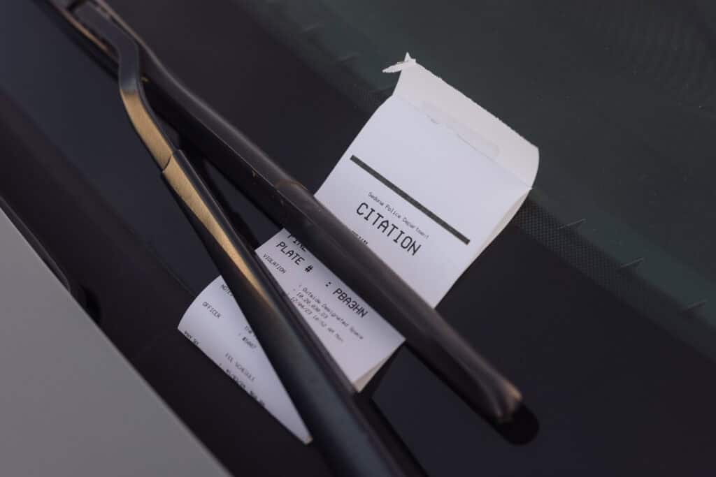
Police regularly patrol the lots, and write tickets on cars that are parked illegally, or not in a designated space.
You cannot, for instance, park along the rocks or curbs:
Mescal Trailhead
The Mescal Trailhead is slightly closer to Devil’s Bridge. You’ll find it along Long Canyon Road.
Using the McDonald’s with the famous turquoise arches as a reference, it’s a four-mile drive north.
The trailhead lot was expanded in 2022, and now has 40 parking spots, plus bathrooms.
Dry Creek Trailhead
The Dry Creek Trailhead is also home to 30 parking spots. The road forms a loop through the lot, which also has bathrooms and maps for hikers.
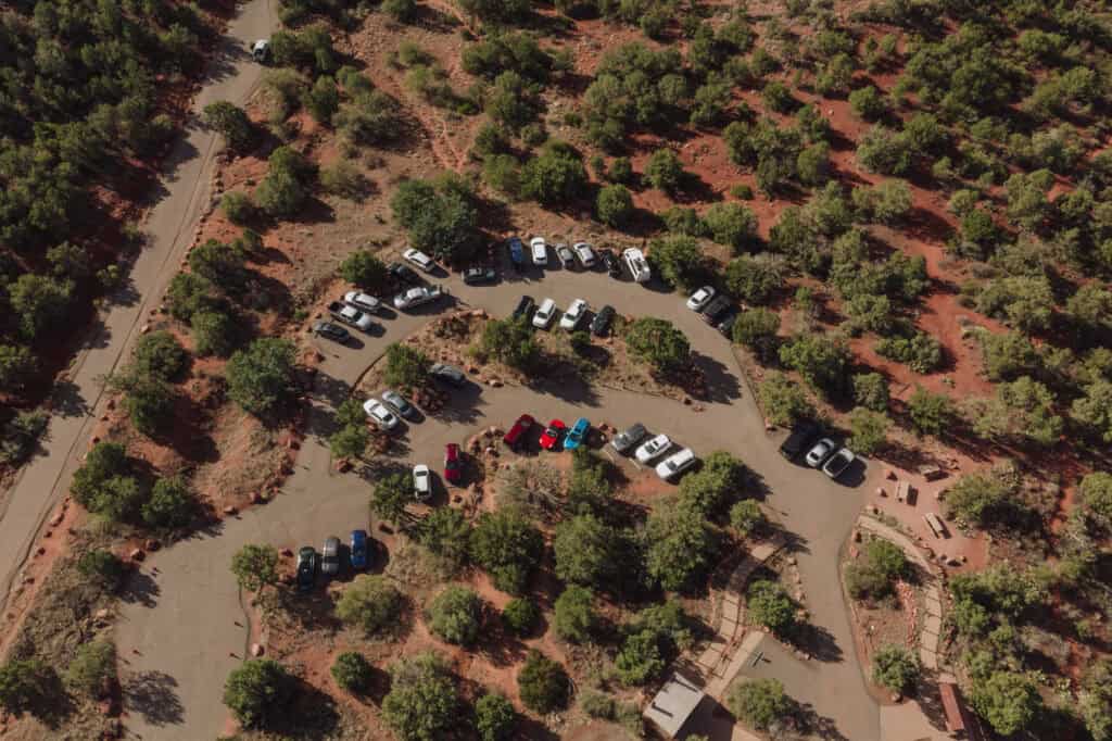
Using the same McDonalds, it’s just over a three-mile drive to the trailhead.
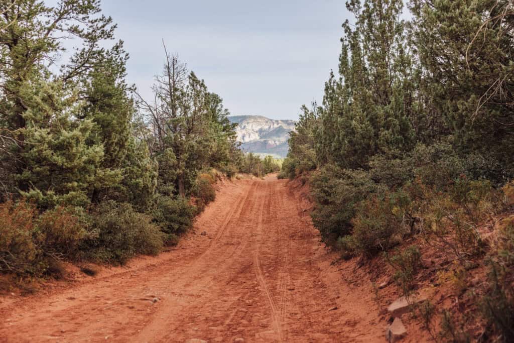
The Coconino National Forest notes: the road here is really meant for ATV use, not pedestrians. But wide enough for both, and the ATV tour drivers who will pass always give a friendly wave.
4×4 Access
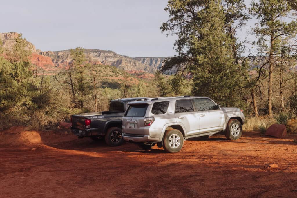
If you’re driving a truck or 4×4 (or renting an ATV in Sedona), you can bypass the Dry Creek Trailhead parking lot, and keep going down the rocky dirt road another mile toward Devil’s Bridge.
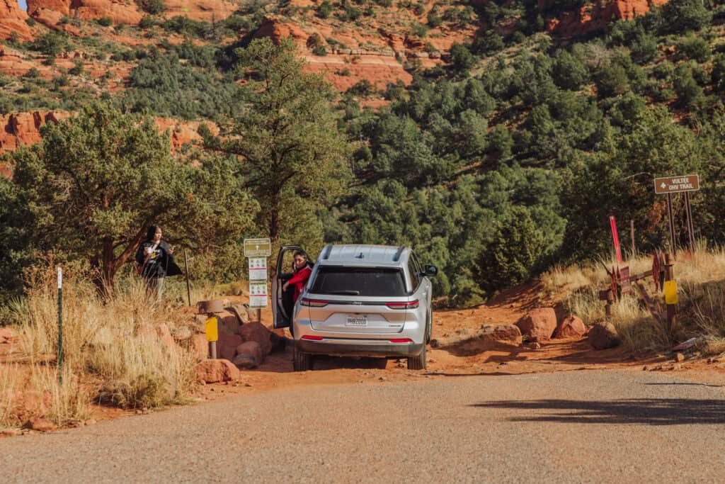
You’ll find another small lot to park in, which is located right where the incline begins on the hike. It shaves off quite a bit of time, walking down the relatively mundane flat, dirt road.
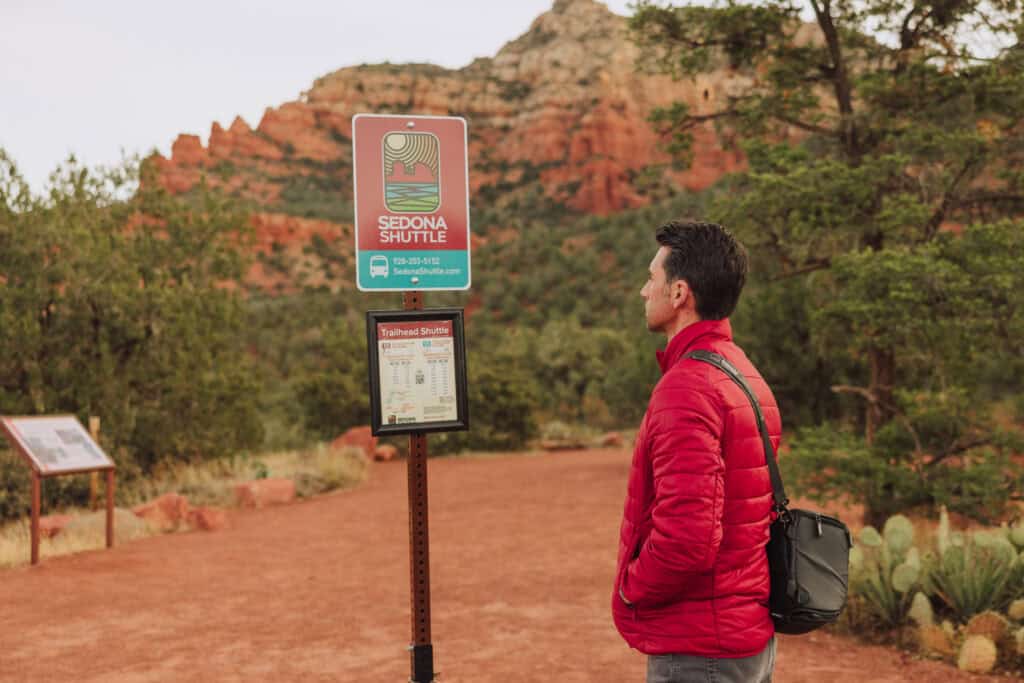
The Sedona Shuttle
The Sedona Shuttle runs Thursdays through Sundays, and is a great option, especially during the busy months and weekends. It carried an average of 1,250 passengers a day in its first year, reducing traffic and parking lot congestion.
The shuttle picks hikers up from park and ride lots in Sedona, and makes a loop to five popular trailheads. Each trailhead provides access to a number of different trails and hikes!
For Devil’s Bridge, you can get dropped off at either the Mescal Trailhead or Dry Creek.
Park and Ride Lots
There are three lots to choose from:
- The West Site Park & Ride on 89A
- The Posse Grounds in the center of Sedona
- The North Side Park & Ride on SR 179
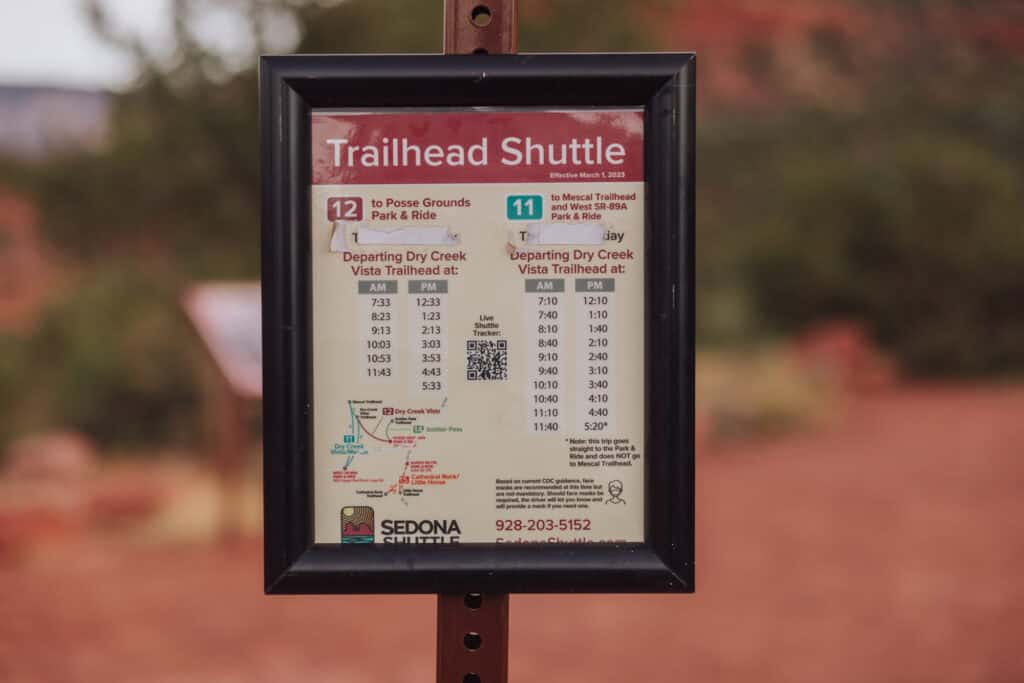
Sedona Shuttle Hours
During the summer (usually beginning in June) the shuttle runs from 7:00am to 5:30pm.
The rest of the year, it operates from 8:00am to 5:30pm.
During spring break and some holidays, the shuttle buses run every day.
The shuttle winds through the trailhead lots every 20 minutes, or so. There are signs in the lots with approximate arrival and departure times.
Sedona Shuttle Stops
The shuttle will stop at these trailheads:
- Mescal Trailhead: Mescal Trail, Chuckwagon Trail, Devil’s Bridge, Long Canyon Trail and Deadman’s Pass.
- Dry Creek Vista Trailhead: Dry Creek Vista Trail, Chuckwagon Trail, Girdner Trail, Devil’s Bridge, Mescal Trail, Lizard Head Trail, and Snake Trail.
- Soldier Pass Trailhead: Soldier Pass Trail, Devil’s Kitchen Sinkhole, Seven Sacred Pools, Teacup Trail, Cibola Pass Trail, Brins Mesa Trail, and Jordan Trail.
- Cathedral Rock Trailhead: Cathedral Rock Trail, Cathedral Vortex, Templeton Trail, Easy Breezy Trail, Baldwin Trail, and HT Trail.
- Little Horse Trailhead: Little Horse Trail, Bell Rock Pathway, Chicken Point, Llama Trail, Chapel Trail and Broken Arrow Trail.
Hike Difficulty
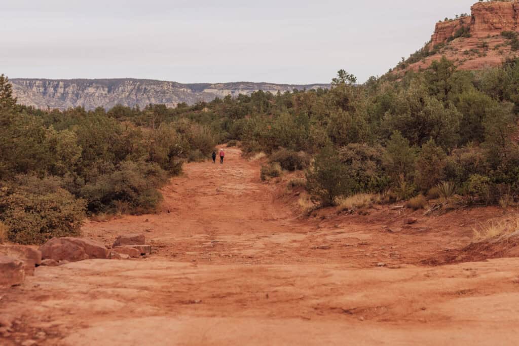
Hikers might be somewhat bored or disappointed on the first half of the hike to Devil’s Bridge from the trailhead.
Whether you park or get dropped off at the Mescal or Dry Creek Trailhead lots, the first half of the hike will really be more of a walk along a mostly-flat rocky, dirt road.
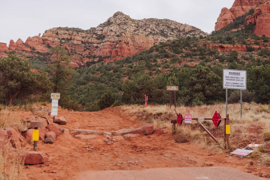
The views are pretty off in the distance, but there’s no cover or cover from the sun or rain.
It’s about a four-mile round trip from the trailhead (either one).
You’ll have a very weak cell signal along the way.
Devil’s Bridge Hike Difficulty
The elevation will be between 4,500 and 5,000 feet along the hike.
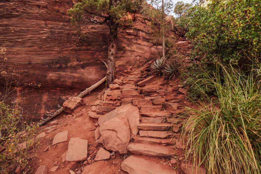
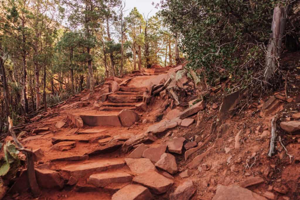
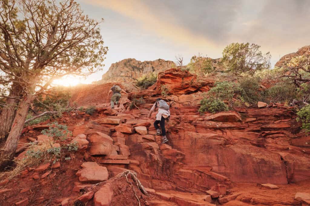
The climb is only about 500 feet in altitude, up a natural set of stone steps.
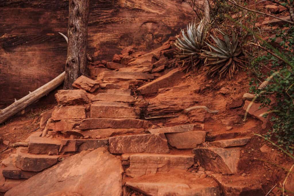
You’ll see people of all ages and abilities on the hike, so it’s rated moderately difficult (and I think on the low end).
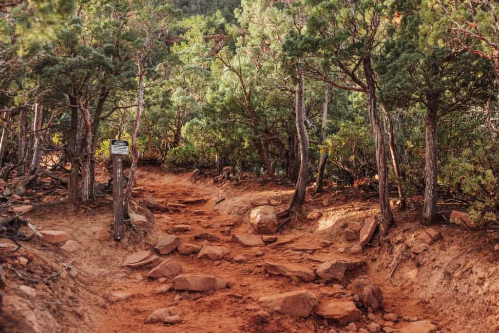
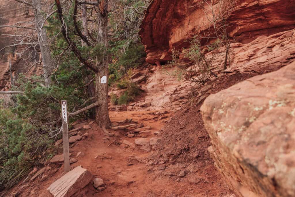
The trail itself is well-marked and well-traveled, so you won’t get lost.
What to Expect at Devil’s Bridge
The view is amazing, whether you walk out onto the bridge itself or not.
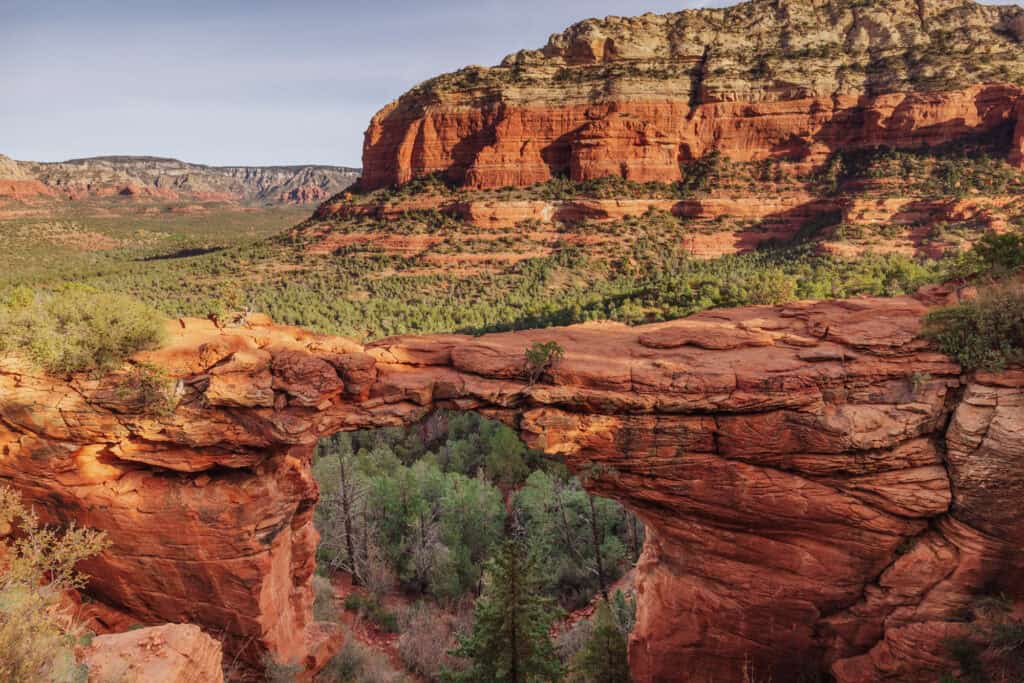
After you climb up the rock staircase and arrive on the ledge across from Devil’s Bridge, you’re likely to find a crowd.
It ranges, based on the day of the week and season. During spring break and peak season, expect a large group, and a long line of people waiting to walk across the bridge for photos.
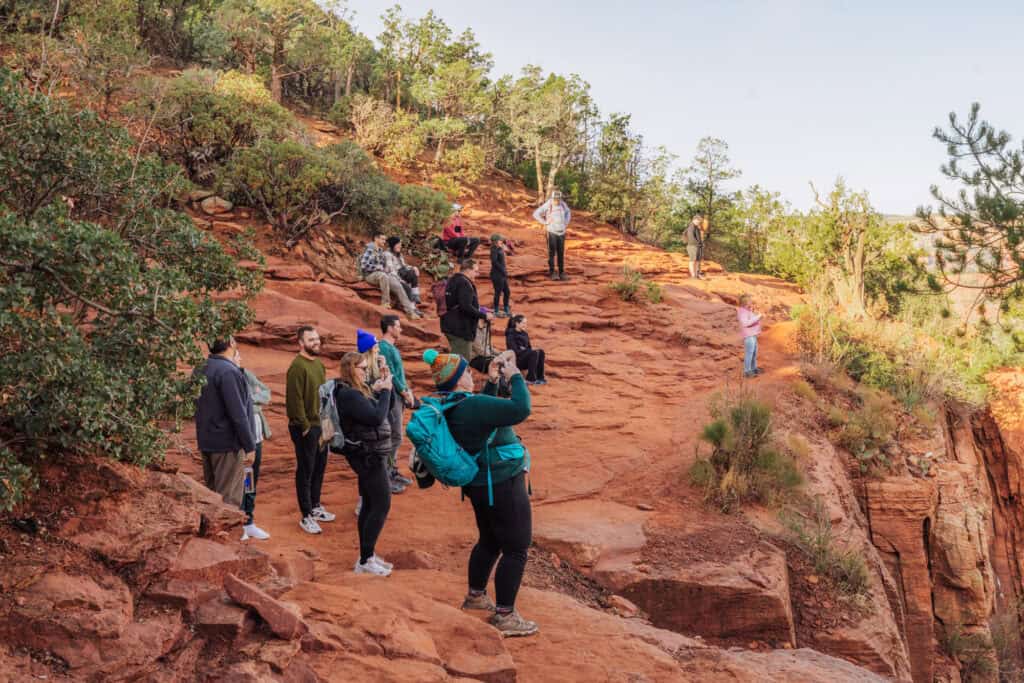
People are always courteous and allow everyone in line to get their chance. But sometimes the line will be so long that it’ll take an hour or more to get your photo opp.
You’ll always have volunteers in line, willing to be your photographer whether you’re there alone or with a group.
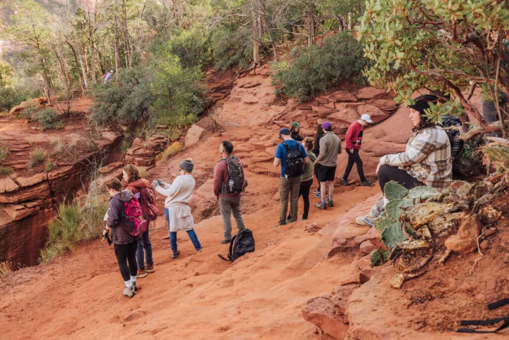
Access to the Arch
There’s a short trail from the rock ledge through some shrubs to the end of the bridge.
How high is Devil’s Bridge?
The arch is about 70 feet above the forest floor.
What’s the width of Devil’s Bridge?
The rock that forms the bridge is about five or six feet across, at its most narrow point.
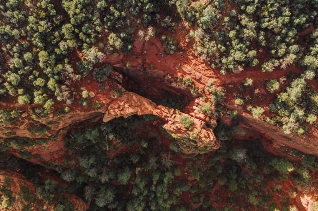
Photography
While sunny days are always nice, an overcast day will provide the most evenly-lit photos at Devil’s Bridge.
Most days, based on the sun’s position, you’ll have shadows to deal with.
Some people opt for the early morning light, before the sun rises above the mountain, or sunset for more cinematic shots.
Drone Rules
As long as there’s not a wildfire in the area or a TFR in place, you can fly a drone over the Coconino National Forest.
Drone operators are required to follow these rules:
- Keep the drone visible at all times.
- Don’t fly within 5 miles of an airport.
- Keep the drone below 400 feet.
- Don’t fly over wildlife.
Best Time to Hike in Sedona
Devil’s Bridge is notoriously busy with hikers. If you’re trying to avoid the crowd, the best advice is to park before sunrise and hike in before dawn.
Weekdays in December and January typically see much smaller crowds. You’re likely to find only a dozen or so hikers at Devil’s Bridge on a winter morning.
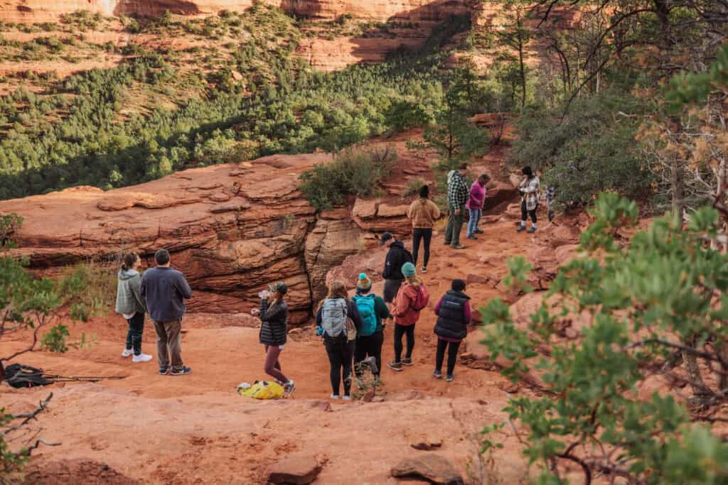
The surrounding forest remains green year-round, creating a beautiful contrast against the red rocks.
It’s still a very pretty hike in the spring and fall, but prepare to be joined by many more people and to wait for an hour or more for your turn to cross the bridge.
In the summer, temperatures can reach 100 degrees, so bring plenty of water. There’s no shade on the long stretch of road, so you’ll be exposed to the extreme heat.
By late summer, temperatures cool so it’s more comfortable. Crowds in the fall tend to be smaller than the spring.
Injuries and Deaths at Devil’s Bridge
I’m including this because a lot of people ask if Devil’s Bridge is dangerous. Falls, injuries, and deaths are extremely rare here.
In my work as a news reporter, I can only remember a handful of times (over 15+ years) that I’ve reported on an incident at Devil’s Bridge. In general, though, rescue crews are very busy around Sedona.
You’re far more likely to get injured hiking around on the rocky trail than at the arch. The dusty red rocks can be slippery!
Here are a few of the incidents over the years at Devil’s Bridge. I’m including a wide selection to provide more context to the rescue calls crews get sent on:
- April 2014: A California woman died from a fall at Devil’s Bridge. She wasn’t on the bridge itself, but rather the rocky ledge where people line up. She stood, lost her balance, and tumbled off the cliff. It’s a 75-foot drop.
- December 2014: A Tucson woman died after a fall of between 8-10 feet. She reportedly decided not to walk across the arch, and fell on her way back toward the rocky staircase.
- October 2018: Two friends were hiking near Devil’s Bridge, and sought shelter overnight in inclement weather. They were reported missing, and a search crew found them the next morning ready to go warm up!
- April 2023: A Utah man went into cardiac arrest and died while biking on the trails near Devil’s Bridge.
- July 2023: An avid hiker from the area died after a fall from the Bell Rock Trail (not near Devil’s Bridge, but a more recent incident in Sedona).
FAQs About a Hike to Devil’s Bridge in Sedona
Let’s tackle a few more frequently-asked-questions about hiking to Devil’s Bridge. Many of these questions have already been answered above.
How high is Devil’s Bridge?
The arch is about 70 feet above the floor of the Coconino National Forest below.
How wide is Devil’s Bridge?
At its most narrow part, the rock is still about five or six feet wide.
Is Devil’s Bridge an easy hike?
Devil’s Bridge is considered moderately easy. It’s two miles in each direction, with the first mile mostly flat.
Some people with mobility issues will struggle to climb the rocky steps closest to the bridge itself. In general, it’s accessible to people of all ages, which is another reason why it’s so popular.
Can you fly a drone at Devil’s Bridge?
Yes, drones are allowed in the Coconino National Forest, as long as operators fly them below 400 feet, stay 5 miles from the airport, and don’t harass any wildlife.
Does it snow at Devil’s Bridge and in Sedona?
Yes, the snow isn’t deep in Sedona, and it usually melts pretty quickly. Still, Devil’s Bridge and the other red rock landmarks are usually coated in light snow a couple of times each winter.
Do you need a reservation or permit for Devil’s Bridge?
Unlike “The Wave” or Havasupai Falls, there’s no permit needed to hike to this famous Arizona spot! The trail is fully open to the public all year.
Are dogs allowed on the hike to Devil’s Bridge?
Yes, dogs are permitted on the trail. Owners are asked to keep them on a leash.
What are some other good hikes near Devil’s Bridge?
There are too many to list, but in Sedona, I always recommend:
- Soldier’s Pass
- Airport Mesa
- Marg’s Draw
- Broken Arrow
- Edge of the World (below)
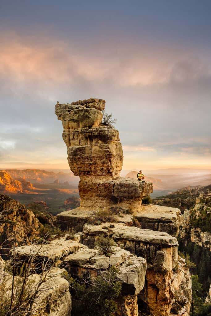
Elsewhere in Arizona, I love:
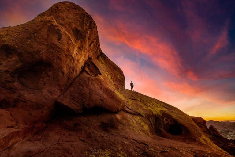
- Camelback Mountain and Piestewa in Phoenix
- White Pocket (a challenging drive) near Page
- Horseshoe Bend (more of a view than a hike) near Page (below)
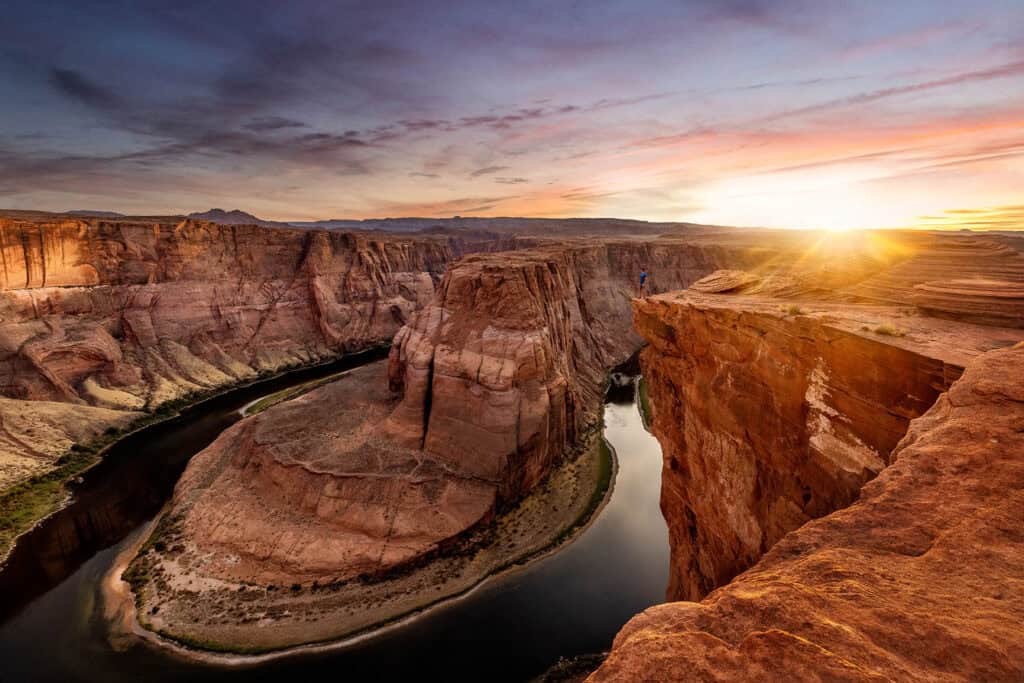
Wrap: Is Devil’s Bridge in Sedona Worth It?
Devils Bridge is worth a visit, especially if you plan your trip to avoid the hassle of parking.
In the winter, I’d aim for a mid-week visit. You’re likely to find a parking spot, especially if you arrive early in the morning.
In the spring and fall, I’d make use of the park and ride Sedona Shuttle!
Any time of year, I’d rent an ATV for the trail to the arch!
Devil’s Bridge is a beautiful, unique rock formation, so it’s worth the hike. It’s also quick enough that you can tackle it in the morning, grab lunch, and move on to another adventure in Sedona!
