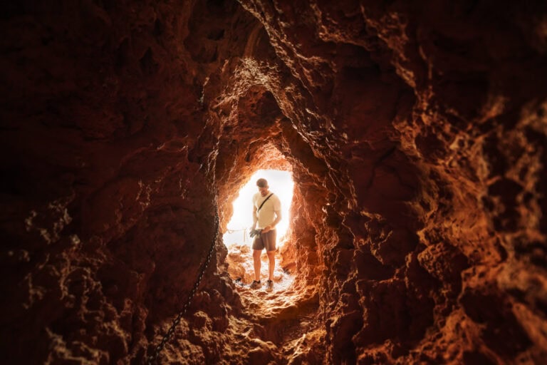
6 Great Day Trips from Page, AZ

There are countless day trips from Page, AZ! It’s a great place to base yourself for road trips to iconic southwest destinations!
Whether you’re into hiking, learning about Native American culture, or just seeing the unique landscapes in the desert southwest, we have you covered with this series of ideas for day trips from Page.
Where to Stay in Page, AZ
More hotels keep going up in Page, so you have more options than ever. You can plug your dates into the interactive map below to see the rates and availability:
I usually stay at the Hyatt Place in Page. The rooms are large, and the restaurant is one of the best in town! The kitchen is open late, so they’ll still be serving after you return from your day trip destination. They also have a big buffet every morning, along with coffee baristas brewing early, so you can fill up before you take off!

Day Trip 1: Page to Zion National Park
The drive from Page, AZ, to Zion National Park in Springdale, Utah, is about 2.5 hours.
It’s a fantastic way to experience the stunning landscapes of southwestern Utah. The drive alone is scenic, as the landscape transitions from the desert surroundings of Page to the red rock canyons of Zion.
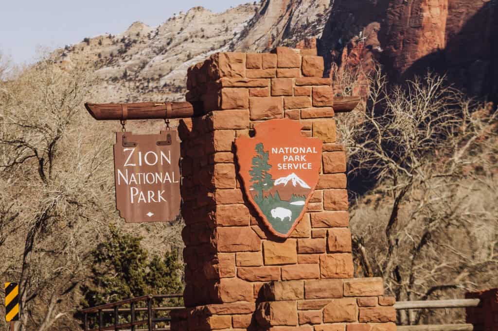
At the gates of Zion, you’ll need to pay an entrance fee. During winter months you’ll be allowed to drive in on your own.
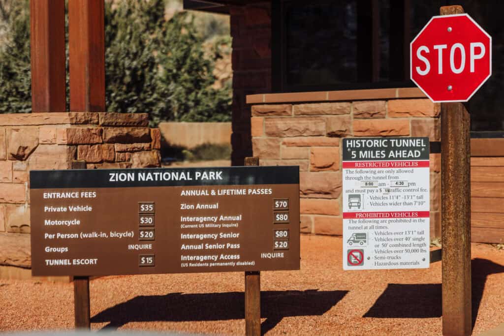
During busier months, Zion operates a shuttle system to manage traffic within the park. Depending on the time of year, you’ll likely be required to park in designated areas and use the shuttle to access key points in the park. The shuttle system is pretty efficient, and clearly marked when you arrive.
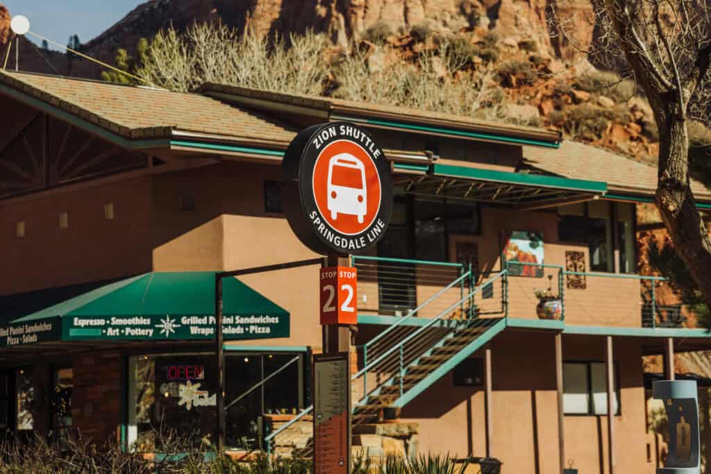
Hikes on a day trip to Zion from Page
Zion National Park offers a variety of hiking trails suitable for different fitness levels. Some popular hikes for a day trip include:
- Emerald Pools Trail: A moderate hike leading to beautiful pools and waterfalls.
- Weeping Rock Trail: A short trail leading to a unique rock alcove with dripping springs.
- Riverside Walk: An easy, paved trail along the Virgin River leading to the start of the Narrows.
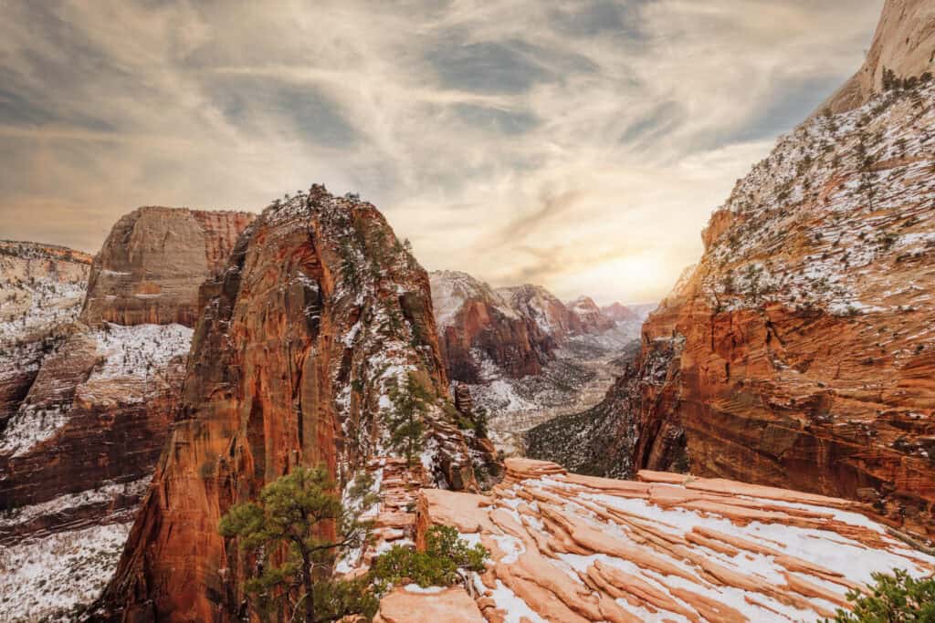
- Scout Lookout: A partly-paved trail about 2 miles each way. Angel’s Landing is beyond the lookout. Beautiful views of the canyon!
- Watchman Trail: Steep in spots, the trail leads to panoramic views of the main canyon.
Angel’s Landing
If you’re in the area, you might as well apply for the Angel’s Landing permit. It might be the most famous hike at Zion National Park.
- Distance (round trip): 5.4 miles
- Elevation gain: 1500 feet
- Time: 4-5 hours
- Level of difficulty: Strenuous
This is the hike you see posted on social media, which requires hikers to use chains anchored into the rocks to boost you up the final section.
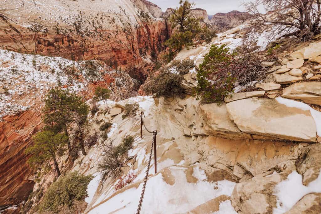
It’s icy, but the lack of a crowd is a major perk to visiting Zion in winter!
No matter what time of year you make the trip, the views are stunning.
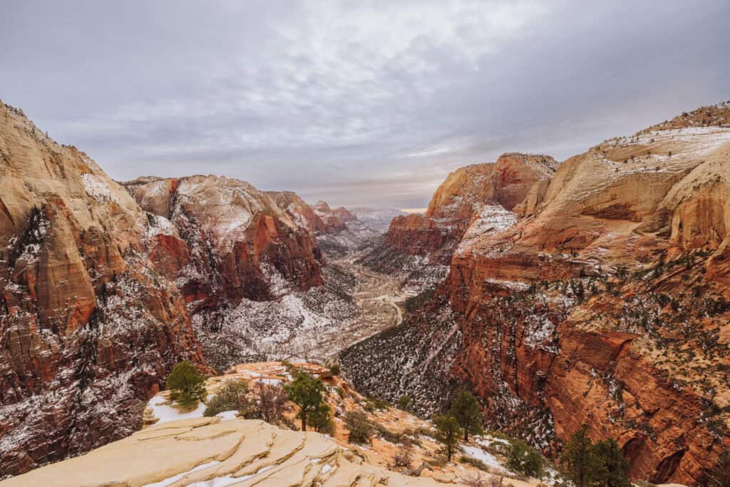
Everyone who hikes Angels Landing needs a permit. The permit system was put into place after overcrowding in 2019 and 2021 made the hike unenjoyable.
Zion Canyon Scenic Drive
If you’re short on time, consider taking the scenic drive through Zion Canyon. The drive provides breathtaking views of towering sandstone cliffs and the Virgin River.
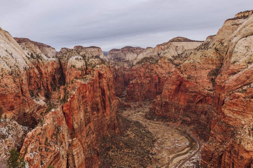
As always, check the weather forecast before your trip and dress accordingly. Weather conditions can vary in the different elevations, so it’s essential to be prepared for sun, wind, and occasional rain or even snow at Zion National Park!
Day Trip 2: Page to Monument Valley
When a lot of people imagine “Arizona,” this part of the Navajo Nation is what they picture. Monument Valley has been used as a backdrop for countless Western TV shows and movies.
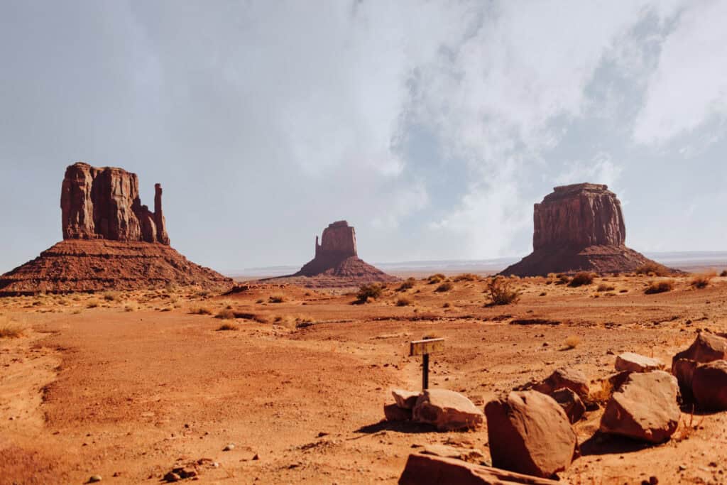
From Page, AZ, Monument Valley is an easy 120-mile drive through the Navajo Nation, which will take about two hours.
If you’re doing it as a day trip from Page, my advice is to leave way before dawn, and make your way to “Forrest Gump Point” as early as possible. There are places to pull off to the side to take photos. The speed limit is reduced to 35mph because so many people show up to take pictures walking down the road.

From here, make your way to the Monument Valley Navajo Tribal Park, which is about 20 minutes south. The toll booth opens earlier than the park, so I’d suggest paying your $20, and going to get in line at the park’s entrance.
After the park opens at 8:00 am, you’ll wind through a 17-mile loop, at speeds of around 30mph. The mostly-dirt roadway is easily passable in a normal car, and it’s full of pull-out areas for parking.
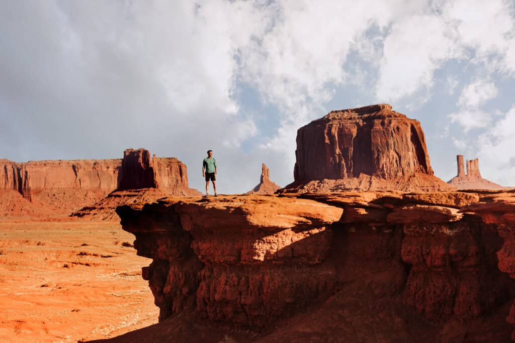
The land is considered sacred by the Navajo Nation, and strict rules govern everything from drones to hiking off the roads and trails.
Elephant’s Feet
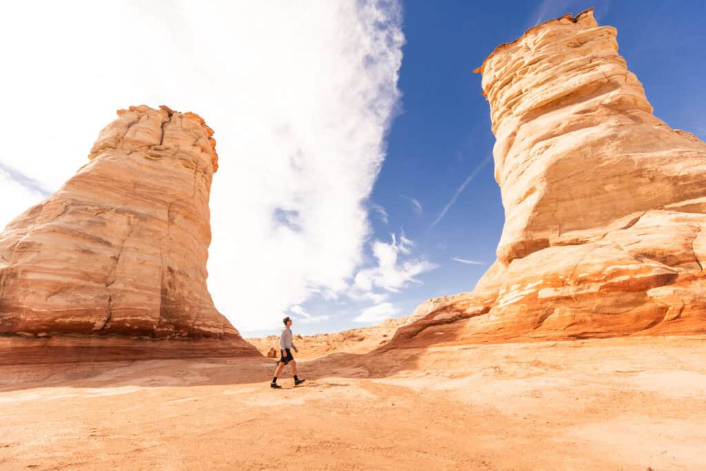
Elephant’s Feet is a quick, fun stop between Page and Monument Valley along Highway 160.
Sandstone has eroded here over time, leaving two giant pillars, which really do resemble two elephant feet, toes and all!
There’s a parking lot, which will likely be empty when you visit, right outside the small Navajo town of Tonalea.
Day Trip 3: Page to Hopi Lands
I’m not really sure how to describe this place, sometimes known as Blue Canyon, but I know three things:
- It’s unbelievable.
- You’ll need a Hopi guide to take you.
- I could never find it again on my own.
I can tell you: this amazing rock formation is near Coal Mine Canyon. You could spend an entire day exploring this spot. It’s way off the beaten path, and again: you have to go with a member of the Tribe. They posted a list of guides on this website.
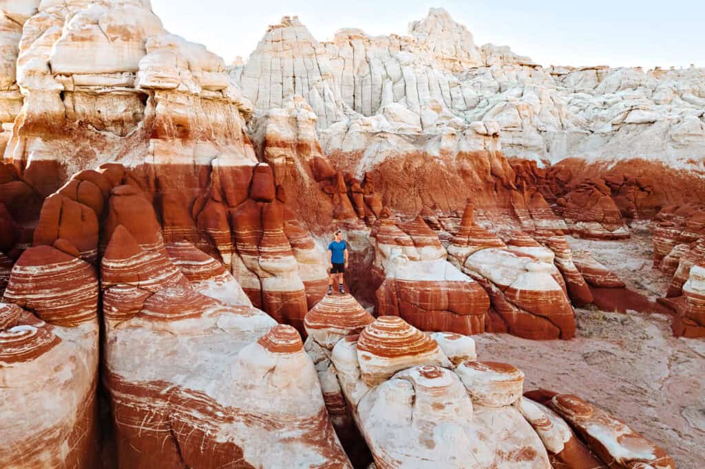
The drive from Page will be roughly two hours, but it’s well worth it! I’ve never seen anything like these rock formations.
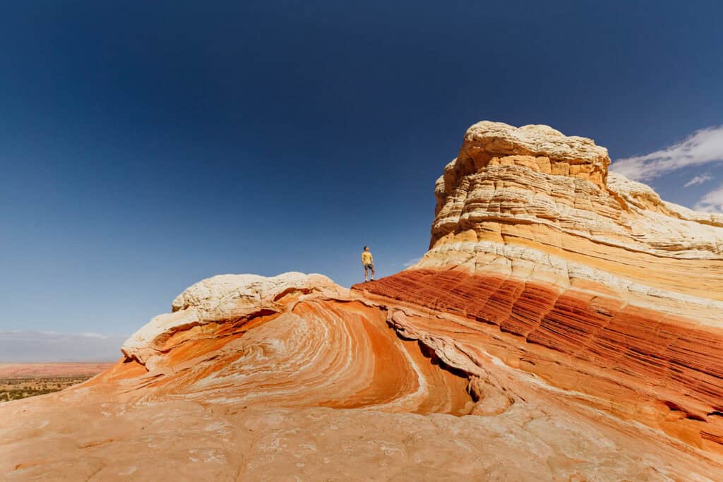
Day Trip 4: Page to White Pocket
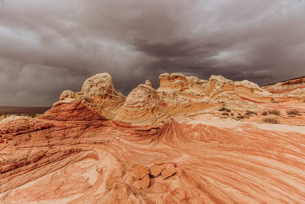
White Pocket might be my favorite day trip from Page 🤔 … *might be!
It’s an other-worldly site, which you’re likely to be able to explore without crowds around you.
It takes some effort, and a 4×4 vehicle to avoid getting stuck in sandy ruts, but the views are worth it!
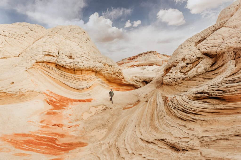
Again, if you’re in Page in an all-wheel-drive vehicle, you’ll have to rent a 4×4 truck or SUV. We’ve had good luck with JeepBnB.com right in Page. No matter the season, you definitely need a 4×4 to navigate the miles of dirt roads through BLM land.
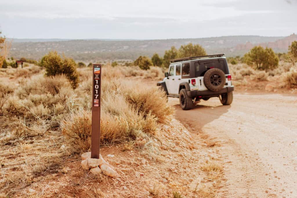
You don’t need a permit or a guide for White Pocket, unlike some of the other spots in the region which require you to go on a guided tour.
Depending on weather conditions (and road conditions), it might take around two hours to drive from Page to White Pocket’s parking lot.
You’ll take Highway 89 west out of Page, and then head south on Rock House Valley Road. Along the same road, you’ll pass parking lots for Buckskin Gulch, Wire Pass, The Wave, and other sites.
From House Rock Valley Road (on the road signs as 1065) 23.5 miles south of Hwy 89, you’ll turn onto BLM 1017.
You’ll see a sign for White Pocket, which is directly across from a large old horse corral or stable.
You’ll head east on BLM 1017 for 6 miles, before you turn onto BLM 1087. Again, you’ll see a sign for White Pocket.
This road will split, and you’ll follow BLM 1086 to the trailhead.
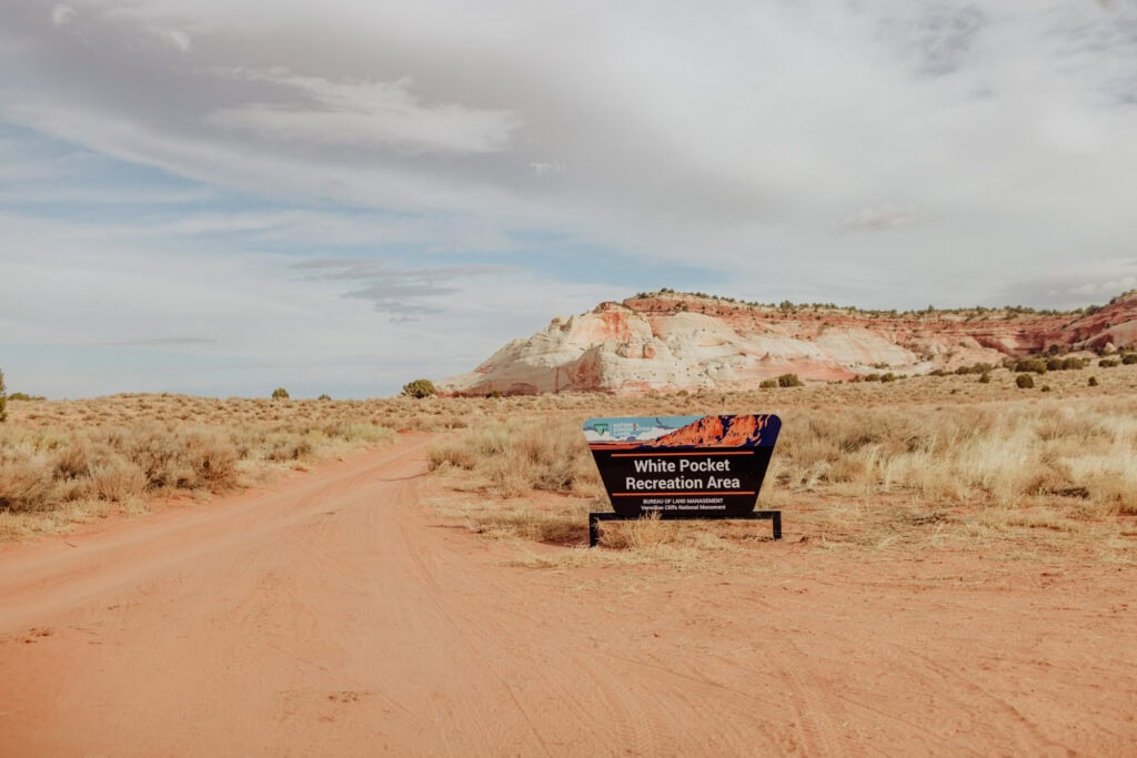
There are no hiking trails around White Pocket, so you’re free to explore the unique rock formations on your own.
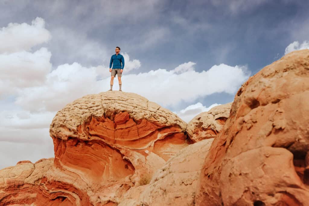
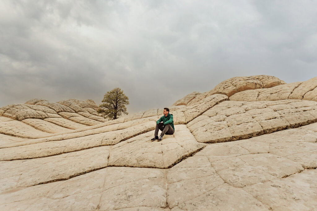
This is another spot in the region where you could encounter all kinds of weather. It’s remote, so the forecasts for Page, AZ, or Kanab, UT, don’t really apply.
On our last visit in February, it was hot and sunny, then turned cold and windy as a dust storm blew in. On our drive out around sunset, it started to snow!
Bring layers of clothing and extra food and water, just in case your vehicle gets stuck!
Day Trip 5: Page to Alstrom Point
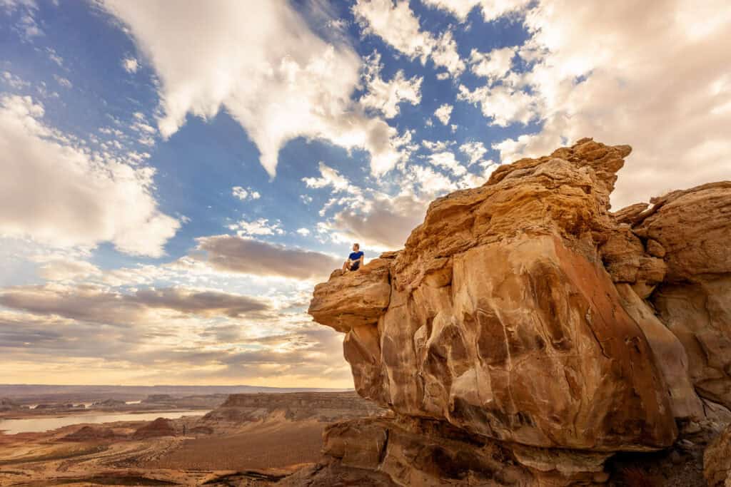
Geographically speaking, Alstrom Point is very close to Page. But it takes some time and effort to get to this gorgeous spot.
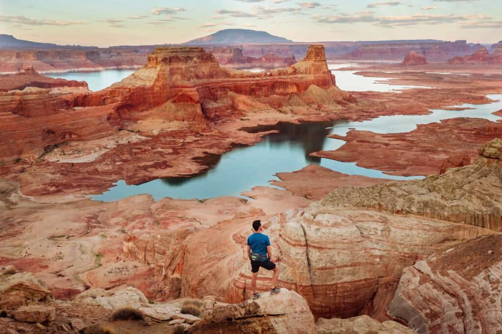
Alstrom is actually north of Page, on the other side of Lake Powell (in Utah). From here, you can look down toward Page, across the cavernous rocky lake bottom, much of which is exposed these days.
If you have extra time, it’s a great place for camping. I’d love to wake up to the sunrise here, perched on a cliff, overlooking Lake Powell.
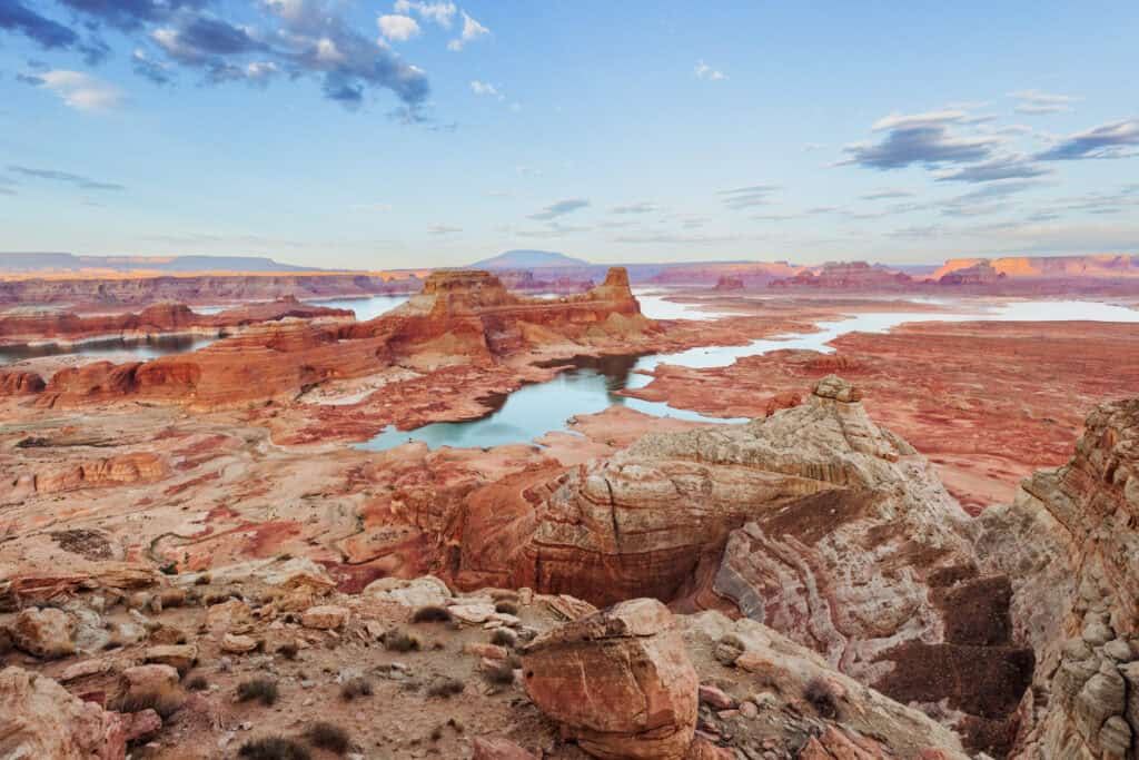
The drive from Page to Astrom Point is only 40 miles. Due to the rough terrain, it’ll take between 1.5 and 2 hours to get there.
A higher-profile vehicle is recommended. You don’t necessarily need a 4×4, but it would help get you over the rocks in spots! Without one, we ended up parking at one point and walking quite a ways to the cliff.
If you make the day trip from Page to Alstrom, just remember where you parked your car! Especially as the sun sets, it can get disorienting up there and difficult to find your way back to the vehicle.
Day Trip 6: Page to Wire Pass & Buckskin Gulch
I should move this day trip option from Page higher on the list. It’s good for (almost) all vehicle types, and all kinds of hikers and families.
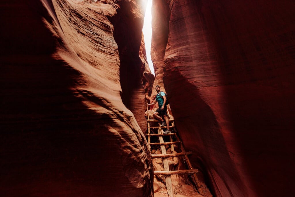
No permits or reservations are needed to explore Wire Pass to Buckskin Gulch.
It’s not too far outside Page. You’ll take Highway 89 west of the city, and head south on Rock House Valley Road (the same road mentioned above to The Wave and White Pocket).
The key is: Don’t park in the Buckskin Gulch Trailhead parking lot!
Continue on down the road farther, and park at Wire Pass.
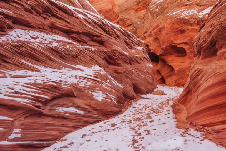
It’ll lead you down a very manageable path on BLM land to this narrow canyon, which is fun to explore for any level of hiker.
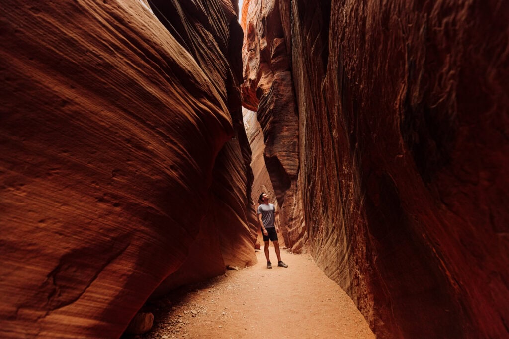
The only thing to be concerned about here is flash flooding. It’s been dangerous to hikers over the years. If there’s a storm in the distance, don’t go. The water whips through here with such force that the ladders are carried away down the canyon every so often.
After a while, the slot canyon opens up to a beautiful area you can explore for as long as you want!
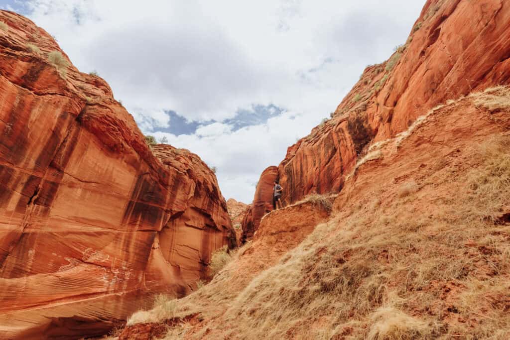
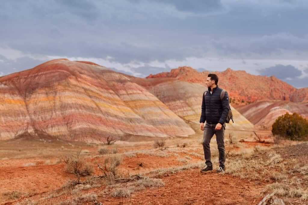
A bit farther down Rock House Valley Road, you might notice the striped hills off to the east. This is an area known as Rainbow Valley. It’s fenced for cattle, but you’re clear to enter and check out the mineral deposits that create this unique site. It’s a good add-on to a day trip from Page to Wire Pass and Buckskin Gulch!
The Weather in Page, AZ
Any day trip from Page will be impacted by the weather. In general, the area has a desert climate characterized by hot summers and mild (ish) winters. I always bring layers of clothing, no matter the season.
Spring (March to May):
During spring, Page begins to warm up. High temperatures rise to between 60°F in March to 80°F in May. Overnight lows drop to between 30°F in March and 50°F by May.
Spring is relatively dry, but be prepared for the occasional rain shower. The average precipitation during this season is around 0.5 to 1 inch per month.
However, depending on the route, you might be impacted in the spring by runoff and melt-off from the mountain snowpack, which can create high water levels.
Summer (June to August)
Summer in Page is hot and dry. High temperatures can soar to 100°F, and nighttime lows are generally between 60°F and 70°F.
Rainfall can come in bursts, thanks to the monsoon weather pattern, which brings up storms from the south through Mexico and Arizona. These can be hard to predict, so follow the forecast and check the radar. Plus, remember: in remote areas (White Pocket, etc) the weather is even more challenging to predict.
Fall (September to November):
Fall brings milder temperatures as the scorching heat of summer begins to fade. Highs range from 70°F to 90°F, and lows drop to 40°F to 60°F. Fall is still relatively dry, with average precipitation around 0.5 inches. In September, you still stand the chance of being impacted by monsoon storms in Arizona.
Winter (December to February):
Winter in Page is mild compared to many other locations around the country, but temperatures can still be quite cool. Highs are typically between 40°F and 60°F, while lows drop to 20°F to 40°F at night.
Snowfall is possible, but it is generally light, with an average of a couple inches per month. It usually melts off relatively quickly.
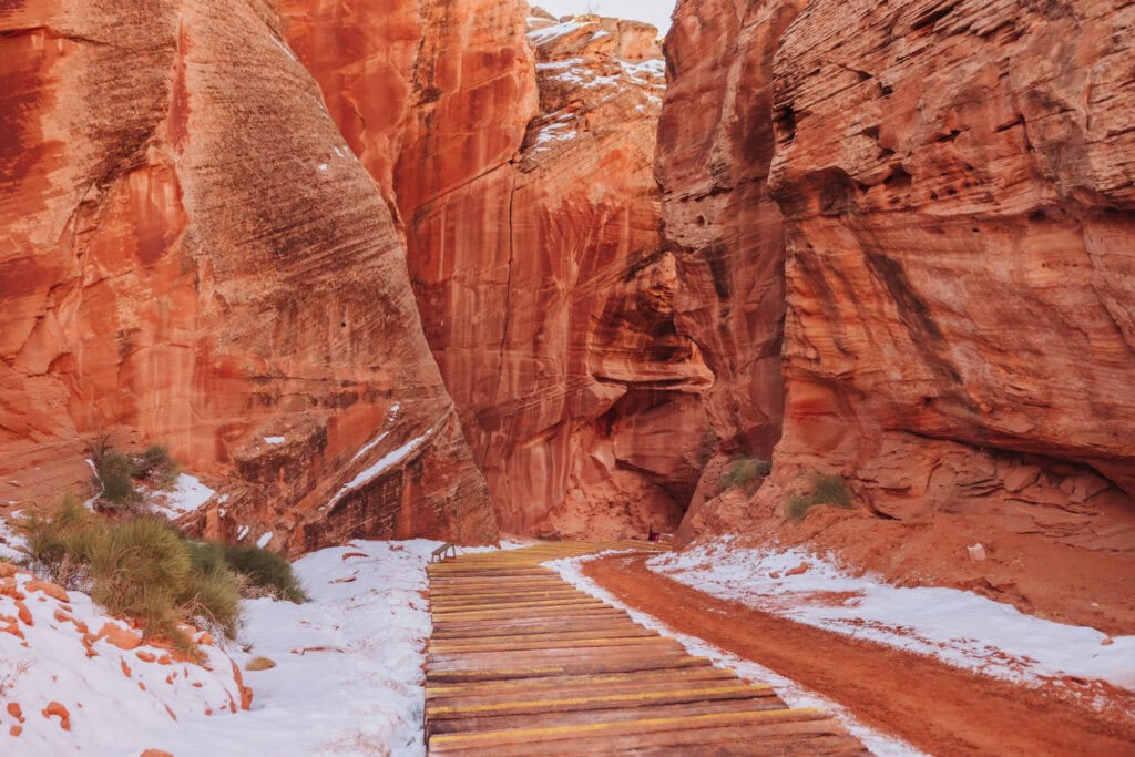
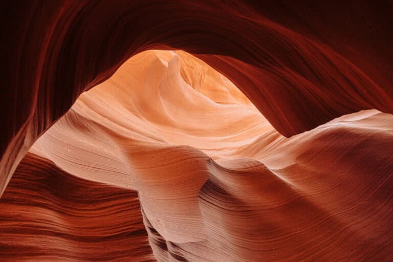
If it impacts the roads, it’ll only be for a day. Then you’ll get to enjoy the white snow in Antelope Canyon, and against the red rocks in Zion National Park and on other day trips from Page, AZ!
More Day Trips from Page, AZ
The list goes on. Kanab, Utah, makes a great day trip on its own. It’s full of shops and restaurants, and an easy drive to the west from Page.
Bryce Canyon National Park:
- While Bryce is a bit farther than some other destinations, it’s still manageable for a day trip from Page, if you plan accordingly. The drive from Page to Bryce Canyon National Park takes approximately 2.5 to 3 hours, depending on the route.
Coral Pink Sand Dunes State Park
- Enjoy the unique sensation of walking on pink sand. It’s less than 2 hours from Page, and a great spot for photography, picnicking, and even trying out sandboarding or off-roading.
Navajo National Monument
- You can see well-preserved cliff dwellings of the ancestral Puebloan people. The Betatakin and Keet Seel ruins are accessible via guided tours. This area is 1.5 hours from Page.
The Toadstools
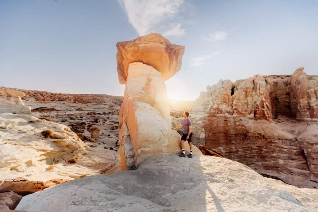
- Hike to The Toadstools (sometimes called Toadstool Hoodoos Trailhead on the map). It’s a unique area, about 30 minutes west of Page, with mushroom-shaped hoodoos and interesting rock formations. It’s a relatively short hike suitable for most skill levels. Stud Horse Point is another option nearby!
Wrap: Day Trips from Page, AZ
Page is a great destination for families, adventure-seekers, and retirees. You can use it as a base to explore all kinds of unique landscapes.
Of course, there are plenty of things to do right in Page:
- Antelope Canyon
- Antelope Canyon X
- Horseshoe Bend
- The Wave (permit pickup is in Page)
- And plenty of hikes in town
- Lake Powell
