Saguaro National Park: Explore the West Side
I’ve lived in Arizona for a long time, but I’m reminded of the unique beauty of our saguaros whenever someone from a different part of the country comes to visit for the first time. Their jaw drops, and they immediately start taking photos, as if a saguaro cactus sighting is their official “Welcome to the Desert Southwest!”
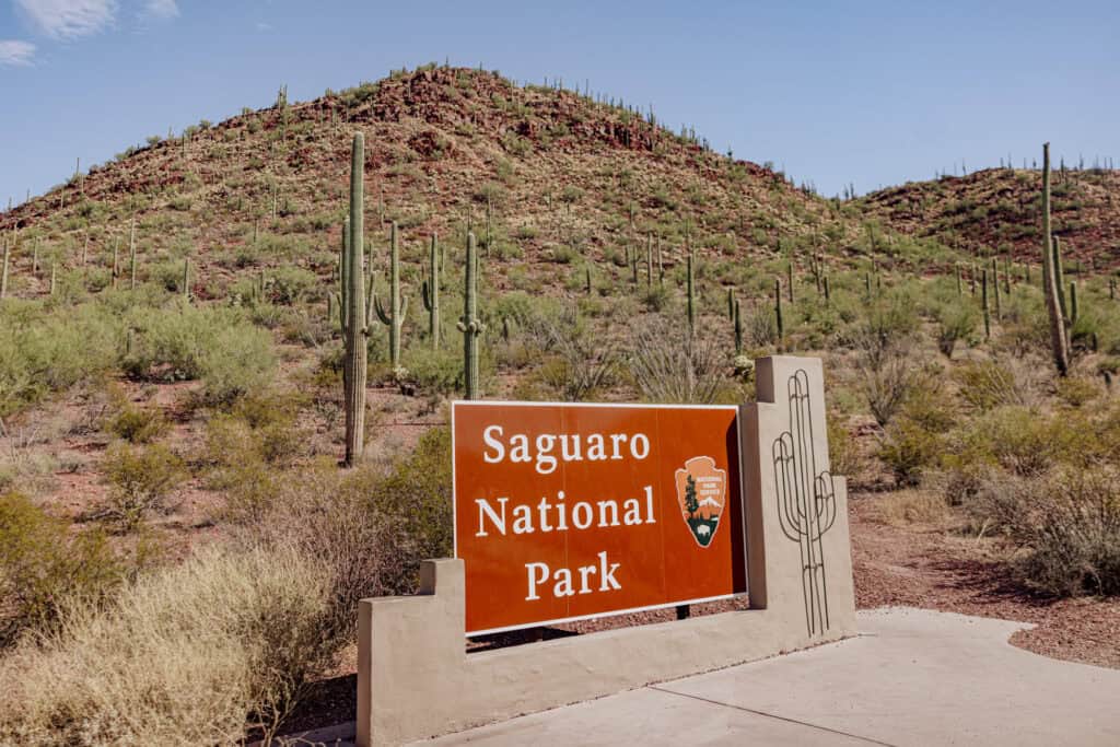
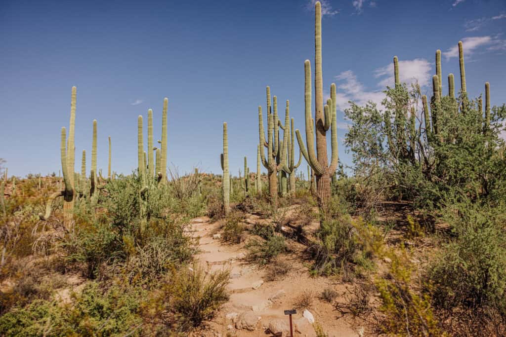
Saguaro National Park is known for its vast forests of iconic saguaro cacti, the towering symbols of the American Southwest and the Sonoran Desert.
The park is conveniently located near Tucson, Arizona. It’s actually split into two sides: the Tucson Mountain District (West) and Rincon Mountain District (East), each offering hikes and amazing desert views.
Key Info on Saguaro National Park
- The entrances to the different halves of the park are 30 minutes from Tucson.
- You can buy a $25 weekly pass at the visitor centers.
- You’ll find trails and lots outside the park, too.
- Careful of the extreme summer heat, monsoon storms, and snakes.
Quick Answer: The West Side of Saguaro NP is Better!
For people looking for a quieter, more adventurous back-country trek or bike ride through the desert, go to the east side.
Personally, I think the west side of the park has more saguaros, better views, and trails that are easy to access for the general public looking to get up close to the desert giants!
West Side vs. East Side
I’ll talk a bit about the two halves of Saguaro National Park here, and go into more details about my favorite trails down below. Here are the basics:
- West Side for easy access, short hikes, and quick views of Saguaros.
- East Side for remote backcountry trails, varied ecosystems, and longer hikes.
The West Side of Saguaro
The West Side of Saguaro National Park (Tucson Mountain District) is known for its impressive concentration of saguaro cacti, making it ideal for visitors wanting to explore the classic desert landscape. It features shorter, easier trails like the Valley View Overlook Trail, and the Bajada Loop Drive, a scenic route perfect for a quick tour. There’s also the Arizona-Sonora Desert Museum nearby.
The East Side of Saguaro
On the East Side (the Rincon Mountain District), the terrain is more rugged, offering longer hikes such as the Tanque Verde Ridge Trail, which leads to higher elevations and cooler temperatures. The Cactus Forest Scenic Loop Drive is also popular for biking and driving, but the east is particularly appealing for backcountry camping and multi-day hikes.
The West Side of Saguaro National Park
The Tucson Mountain District of Saguaro NP (the west side of the park) is generally considered to be more scenic and enjoyable for visitors looking to walk among the giant saguaros.
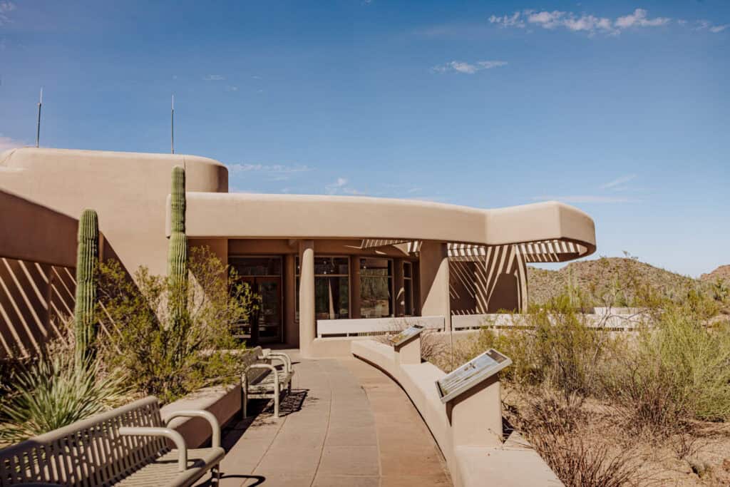
Let’s go over a few highlights you’ll find west of Tucson once you enter and pay at the visitor center.
Bajada Loop Drive
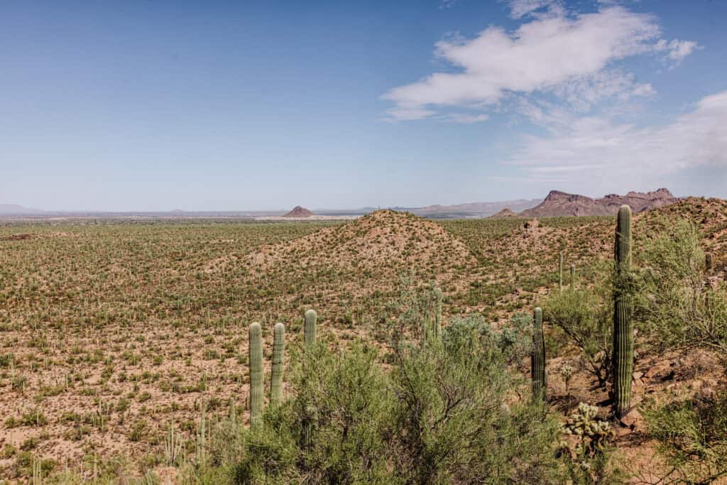
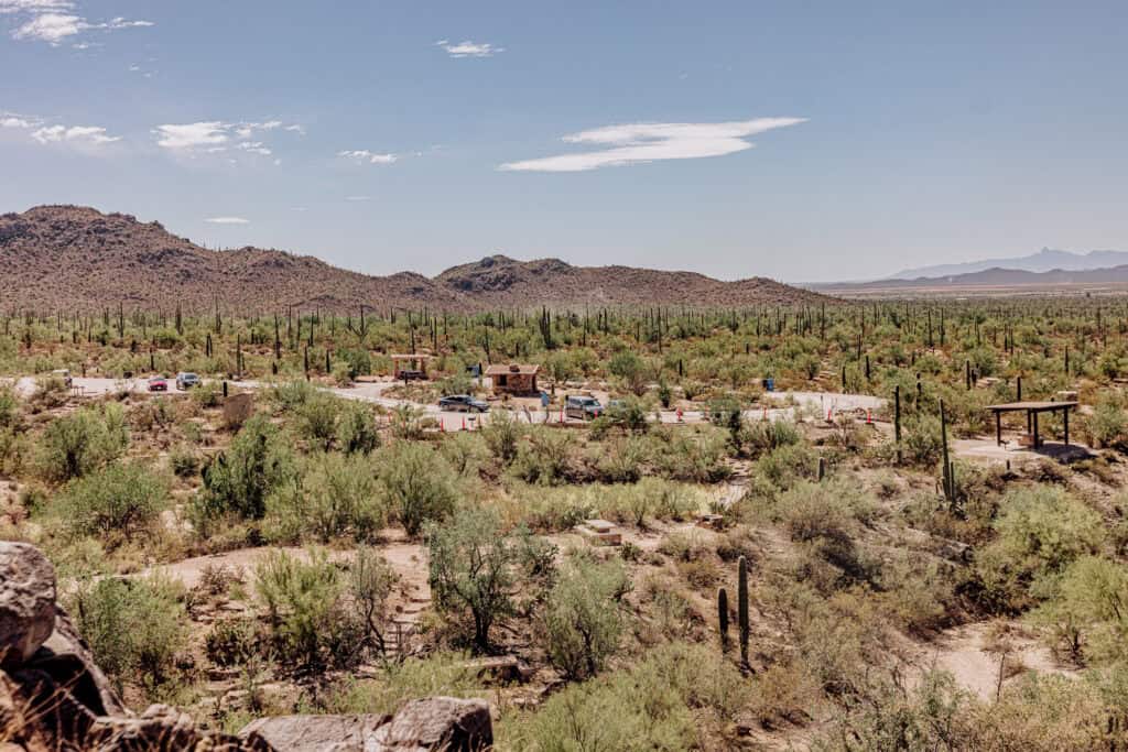
The Bajada Loop Drive at Saguaro National Park’s west side (Tucson Mountain District) is a scenic, 6-mile unpaved loop through the heart of the desert.
It offers stunning views of dense saguaro forests and desert landscapes, providing access to several trailheads, picnic areas, and scenic pullouts. The drive isn’t paved, but it’s still suitable for most vehicles and is perfect for visitors seeking a leisurely tour with the opportunity to stop for short hikes and wildlife viewing.
The Hugh Norris Trailhead
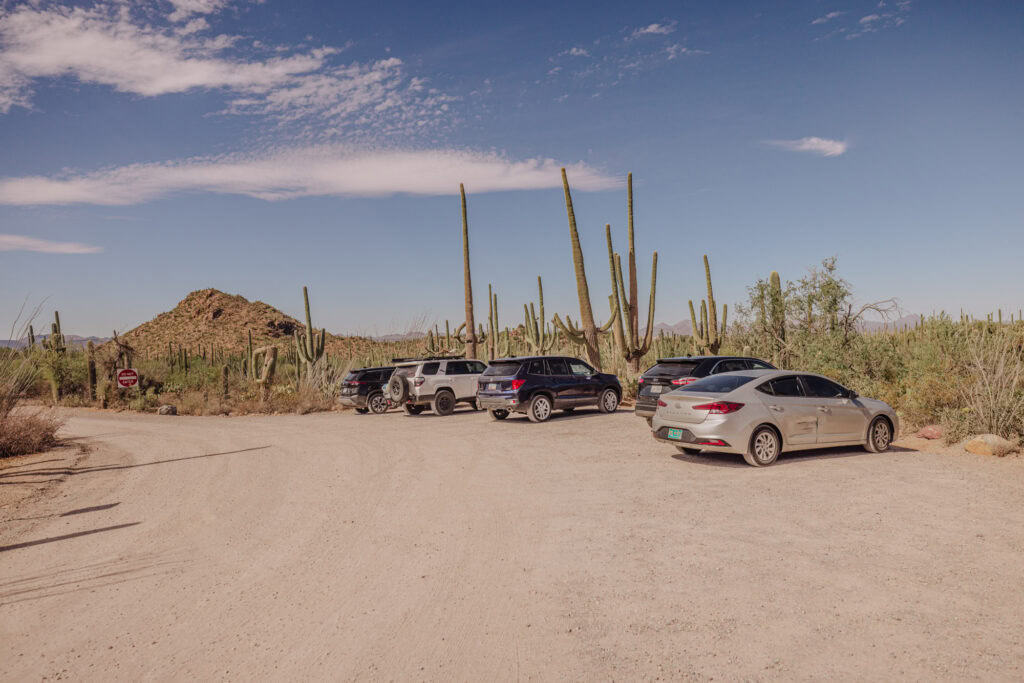
This marks the start of the park’s longest trail, a challenging, 10-mile round-trip hike through the Sonoran Desert. The trail is known for its wildflower blooms in spring and abundant saguaro cacti on your way to the summit at Wasson Peak.
Valley View Overlook Trail
I’ll go more into the Valley View Overlook Trail in its own section, since it’s a favorite of mine.
Generally, it’s a nearly 1-mile round-trip hike to a scenic overlook. The trail takes you through a beautiful saguaro-filled landscape to a peak overlooking the desert valley.
Signal Hill
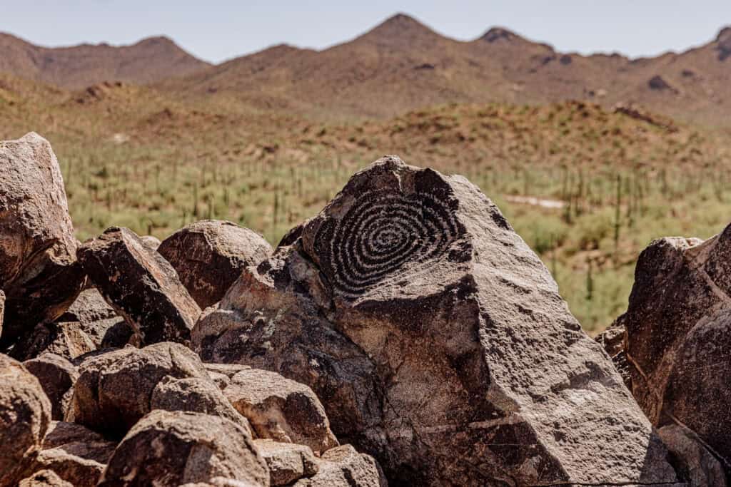
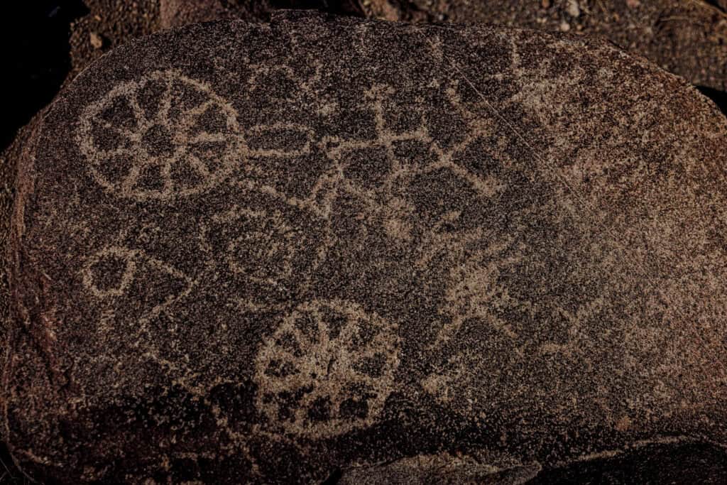
Signal Hill is known for its well-preserved petroglyphs. You’ll find the drawings etched onto rocks by the ancient Hohokam people over 800 years ago at the top of a short trail.
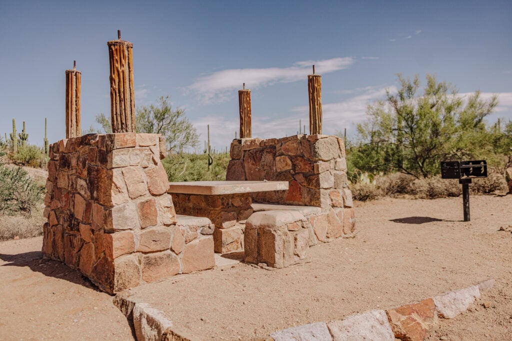
The area also features a picnic area, making it a popular stop for families and visitors to stop for lunch.
My Favorite Trail: The Valley View Overlook
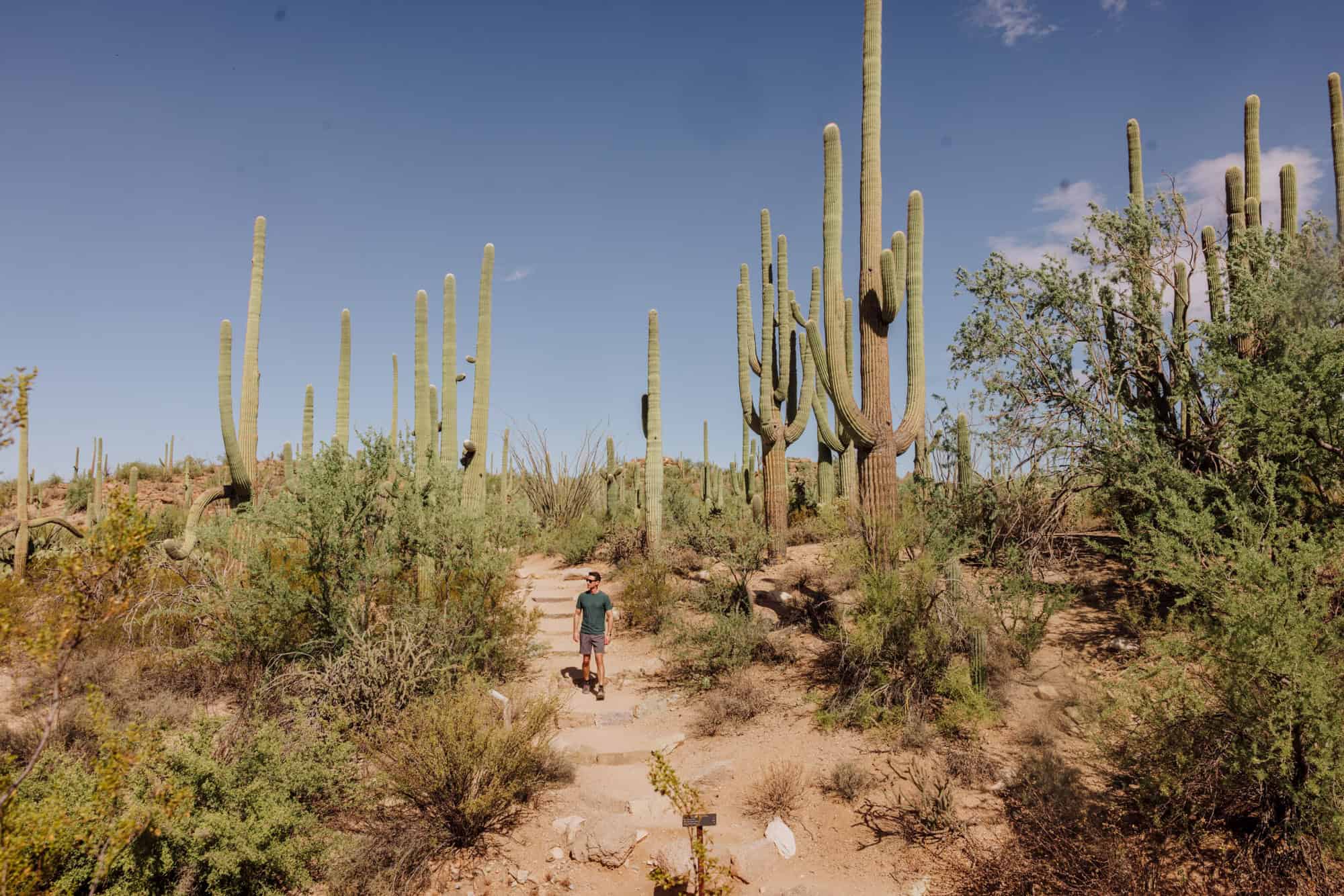
The Valley View Overlook Trail has everything: a great hiking path, views of the desert, and towering saguaros along the route. If you have time for just one trail at Saguaro National Park, make it this one!
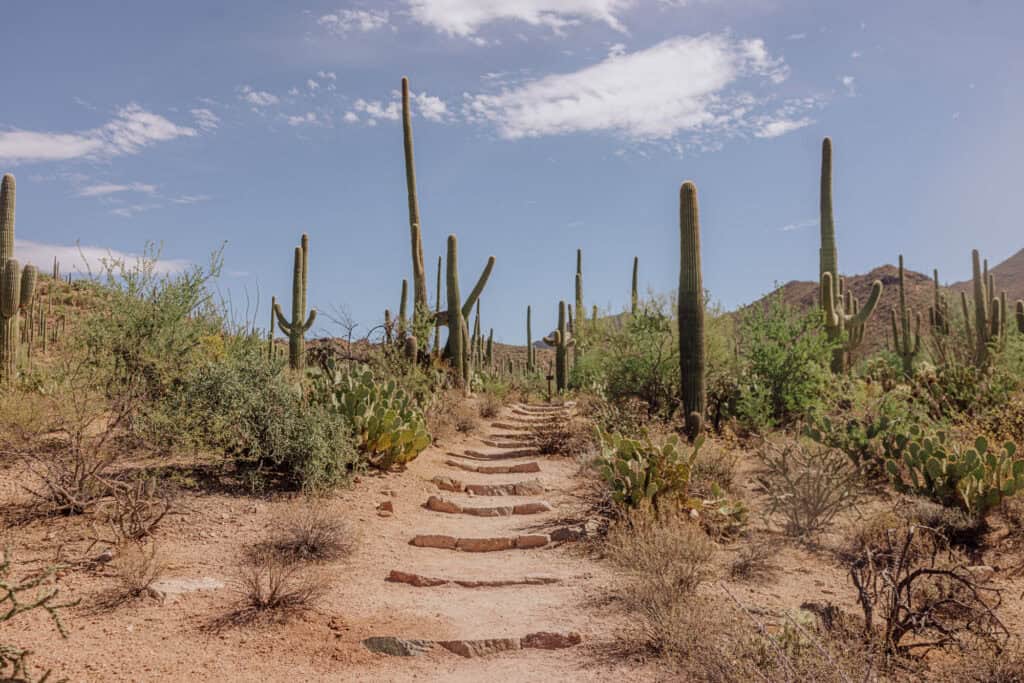
The trail length is less than a mile (round trip). It’s manageable for most people, though rugged in spots.
As you climb the steps and rocks along the path, you’ll eventually come to a peak, overlooking the desert valley below, which is also full of saguaros. On a clear day, you can see Picacho Peak off in the distance (another great hike north of Tucson).
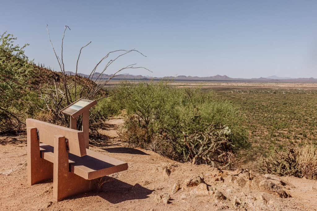
The only potential frustration with the Valley View Overlook Trail is: the parking. If you’ve read my other blogs, you know parking is my main stressor on any trip! The lot at this trailhead only has space for 10 vehicles. If it’s full, which is likely especially on weekends when the weather’s nice, you’ll have to park down the drive and walk back to the trailhead
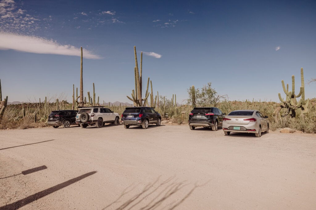
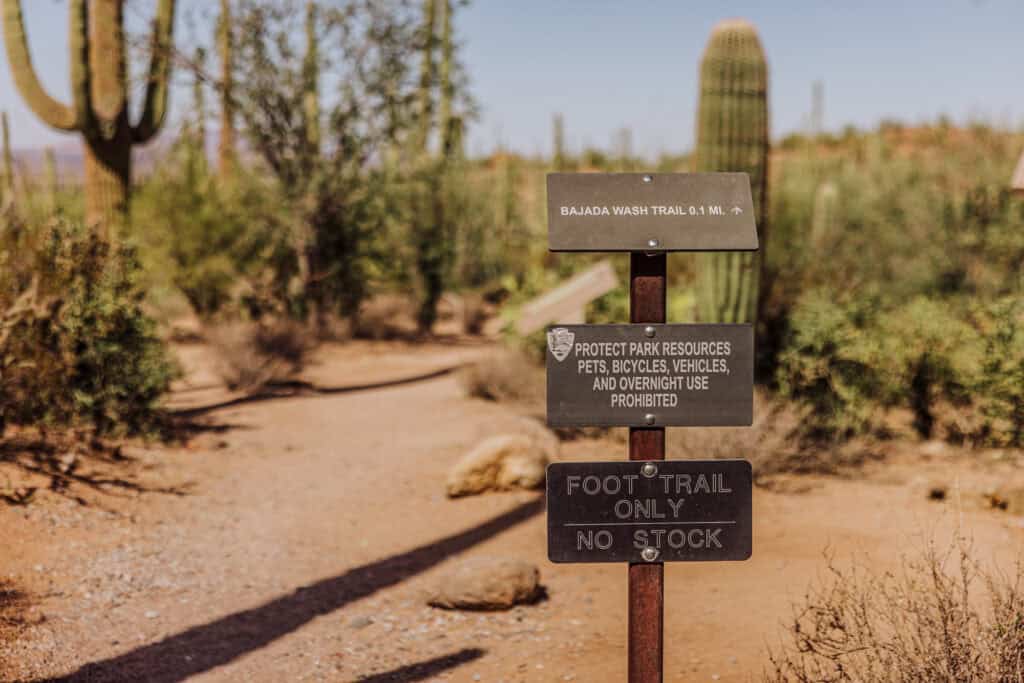
There are no bikes, pets, or camping allowed at the Valley View Overlook Trail.
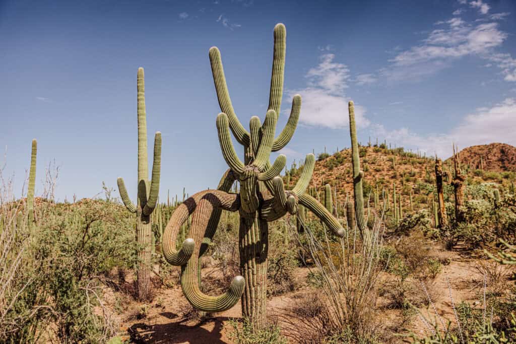
Spend Half a Day at Saguaro National Park West
If you’re visiting the Tucson area, or passing through, you might end up with just part of the day to explore the park. You can see quite a bit in just a few hours!
Here’s how I’d spend half a day (or so) at Saguaro (the west side):
- The Visitor Center’s Cactus Garden or Javelina Wash
- The Bajada Scenic Loop (5-mile drive)
- Desert Discovery Trail (0.5 mile, paved)
- Valley View Overlook Trail (0.8 mile)
- Signal Hill Trail (less than 0.5 mile) to petroglyphs
Warnings & Dangers at Saguaro NP
Prepare for extreme heat in the summer months at the park (and across all of central and southern Arizona).
Plus, the monsoon system sends strong storms into Arizona several nights a week from July through September. They can be unpredictable, and trigger strong downpours and dangerous lightning.
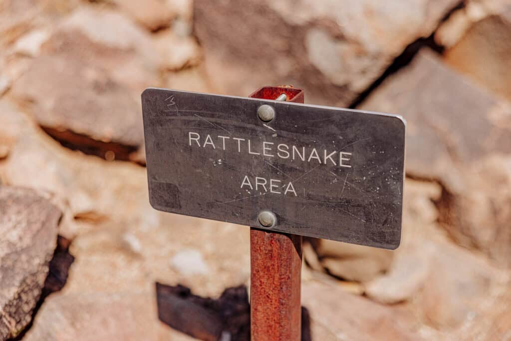
You’ll also see signs around the park warning of wildlife encounters. Just make sure that while you’re looking up at the towering saguaros, you’re also glancing down at the ground for rattlesnakes.
Weather Conditions
The weather conditions in this part of Arizona vary by the season. We’ve had some major fluctuations recently, but generally, here’s what to expect:
- Spring (March-May): Pleasant temperatures from 70-90°F with blooming wildflowers (depending on winter rainfall).
- Summer (June-September): Extremely hot, often over 100°F, with monsoon storms from July to September bringing heavy rain and lightning.
- Fall (October-November): Cooler and enjoyable, between 70-80°F, with mostly clear skies.
- Winter (December-February): Cooler, from 50-70°F during the day. Temperatures can drop below freezing at night.
Wildlife at Saguaro NP
The park is full of desert animals, from snakes and lizards to coyotes and rodents.
Rattlesnakes are the main danger. On my hiking trips, I’ve seen most of them during the spring months, as the desert starts to warm up. Most of the time I won’t see any snakes at all.
The rattlesnakes are usually very good about warning hikers of their presence. Still, as you’re staring up at the saguaros, it’s best to keep glancing down at the ground every once in a while.
Wheelchair Accessible Trails
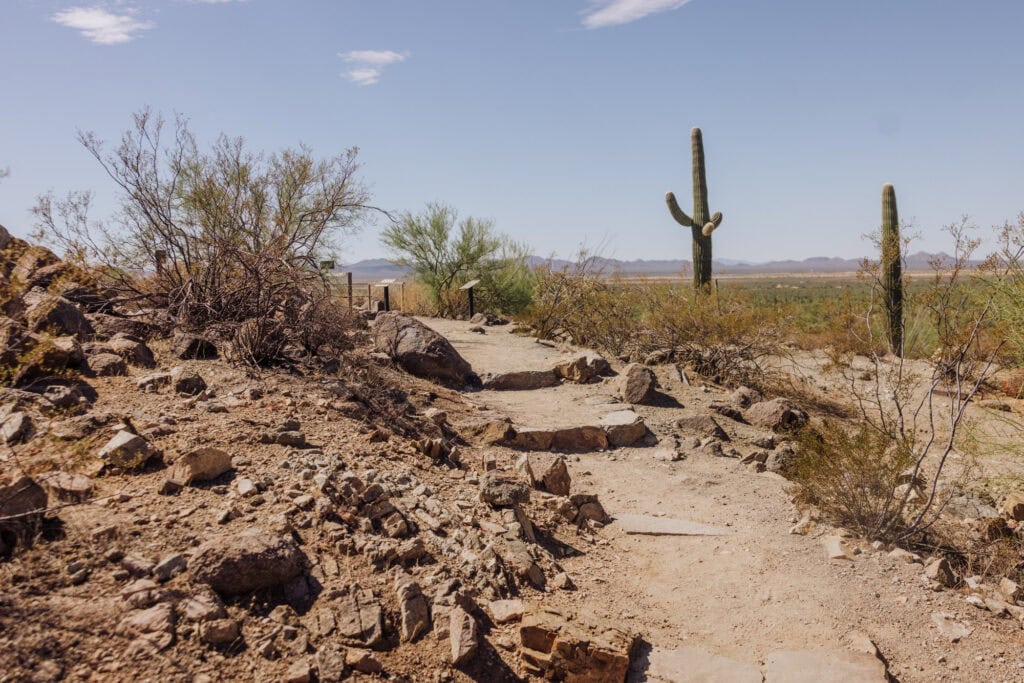
While Saguaro National Park is rugged in spots, it’s also home to several areas and trails accessible to all visitors.
- Desert Discovery Nature Trail. (0.5 mile and paved)
- Cactus Garden Trail (at the visitor center)
- Cactus Forest Loop Drive (on the east side of the park) has accessible pullouts with views.
- Javelina Rocks is also wheelchair-friendly.
Both sides of the park have accessible picnic areas and restrooms.
Info on Saguaros
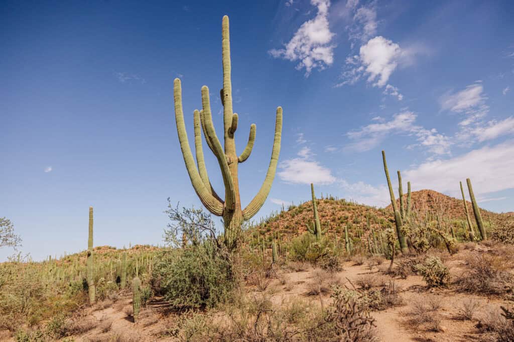
Scientists have been studying the giant cacti for 120 years, and estimate they can live for 200 years.
Cactus Seeds and Reproduction
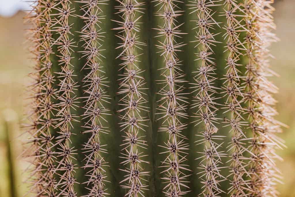
Saguaros can produce millions of seeds in their lifetime, but only a couple from each will become a new cactus. Each fruit that grows on the cactus is said to contain 2,000 seeds.
Saguaros are very slow-growing. In fact, they don’t reach an inch in height until they’re six to nine years old! During that time, they rely on moisture from the dry desert soil. They’re also vulnerable to being eaten by rodents or ants.
A young saguaro benefits greatly from growing under some shade. It protects them from the heat, and the moisture under a shade tree will also be greater than in a completely sunny desert spot.
Saguaros don’t start to reproduce until they’re at least 50 years old. They don’t branch out and form an arm until they’re 80 years old.
Climate Concerns
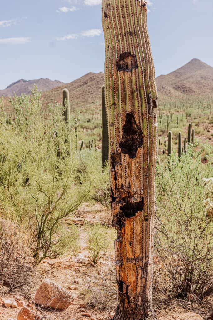
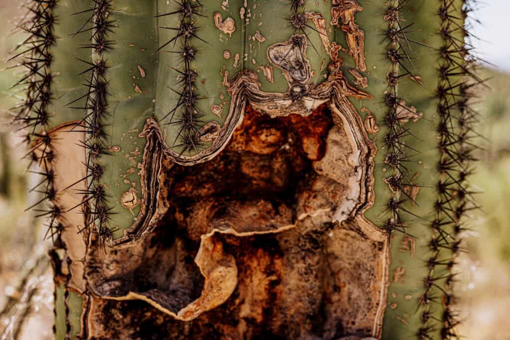
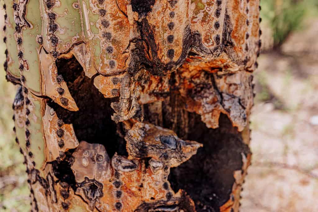
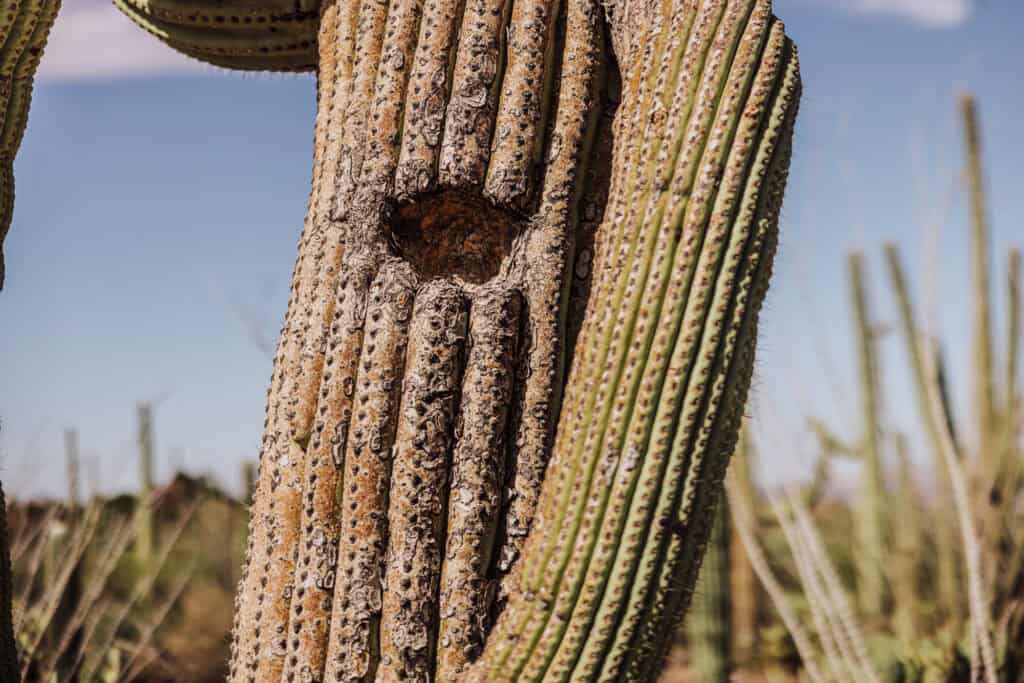
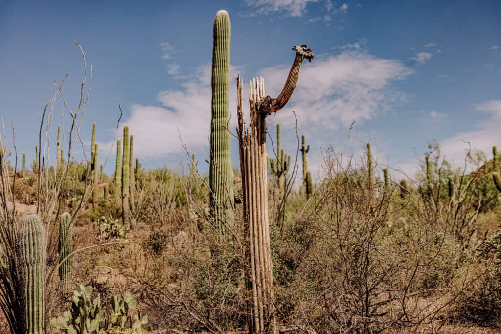
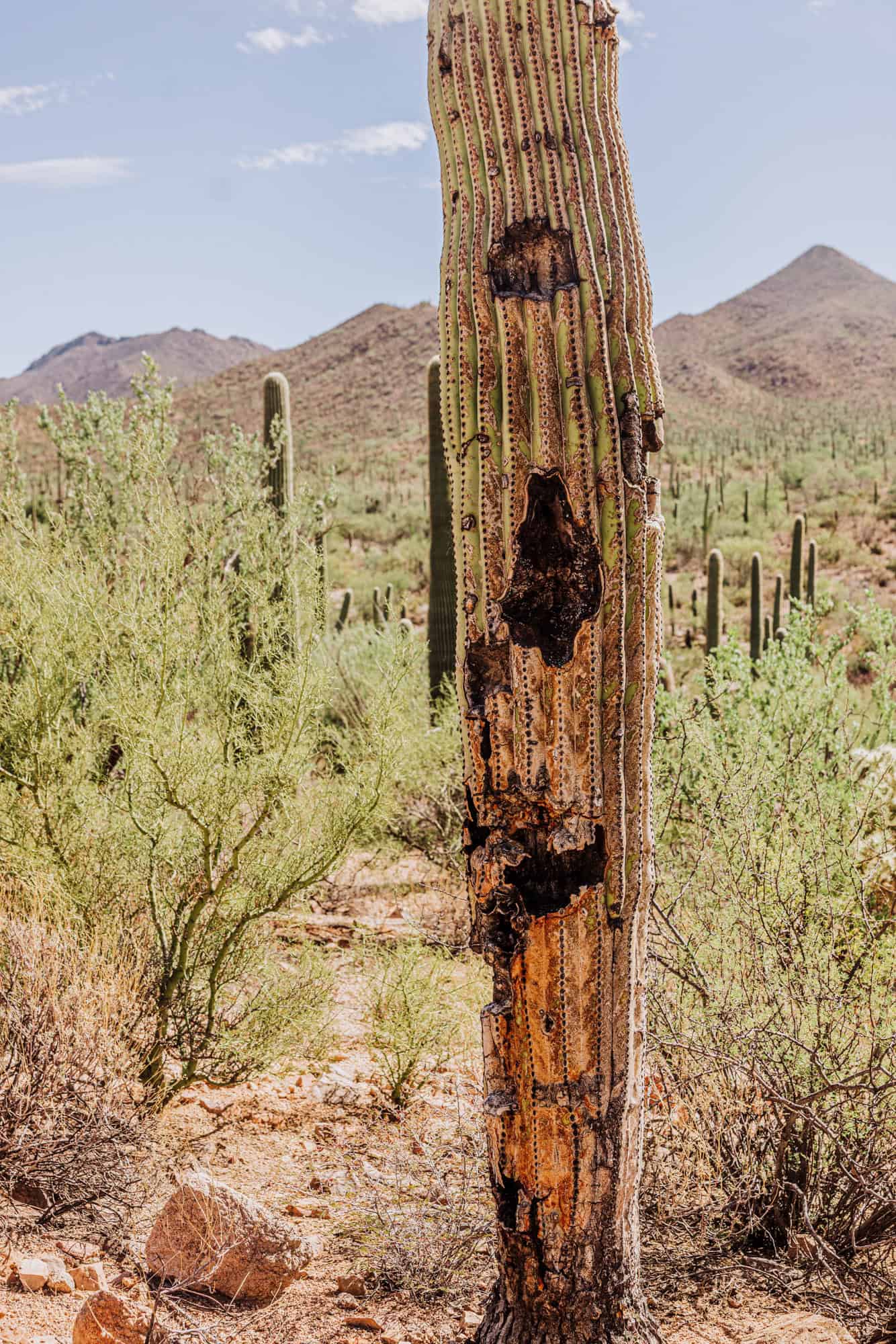
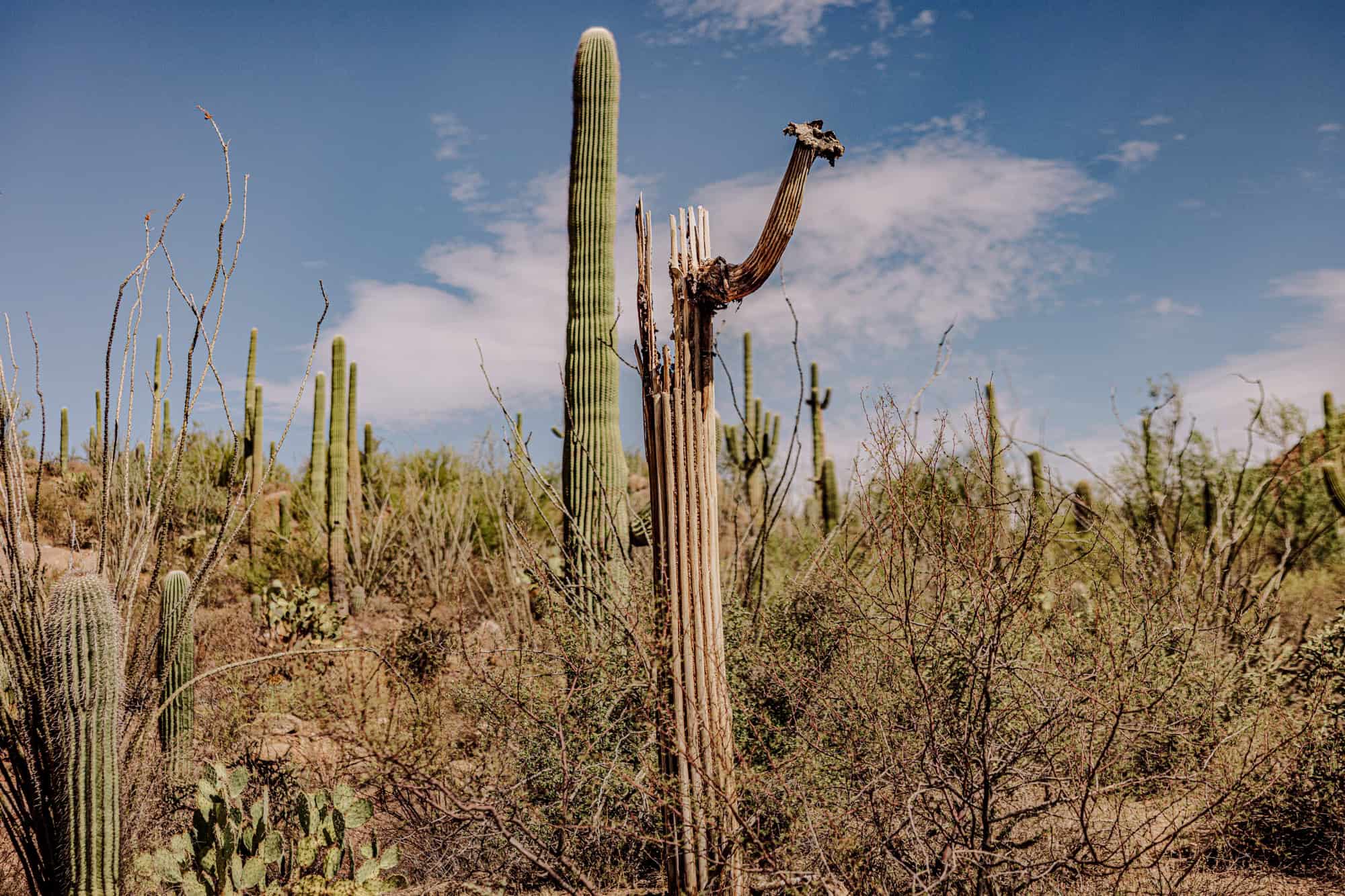
Scientists at Saguaro National Park are concerned about the cacti dying. The higher summer temperatures we’re seeing mean the soil dries out quicker, making it harder for younger saguaros to survive. Over the past quarter century, they’ve seen fewer seedlings survive.
Thankfully, a series of cooler, wetter years in the 1980s and 1990s helped produce an abundance of adolescent saguaros.
You’ll see thousands of healthy giant saguaros, but also too many suffering the impacts of the extreme heat.
FAQs on Visiting Saguaro National Park
Let’s go over a few more frequently-asked-questions.
Are pets allowed at Saguaro?
Pets are allowed in the park, but dogs have to be leashed at all times. The dangers go beyond thorns and snakes. The roadway and desert floor get extremely hot in the summer and can burn paws.
Dog-friendly trails at Saguaro NP include:
- Mica View Dirt Road (east side of the park)
- Desert Ecology Trail (east side)
- Desert Discovery Trail (west side)
Service animals are exempt from the rules and can go anywhere with their humans.
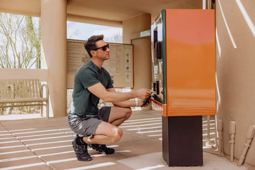
What’s the cost of entry?
It depends. If you have an America the Beautiful Pass, you’re good to go!
Otherwise, it’s:
- $25 per car
- $20 for a motorcycle
- $15 for a walk-in or cyclist
An annual pass to Saguaro National Park is $45.
Does it snow?
Saguaro National Park is open all winter, and yes! the park gets some light snowfall each year. It’s usually heavier in the higher elevations on the east side of the park.
How many saguaros are in the national park?
They do a cactus count every so often, and say more than 2 million saguaro cacti are within the bounds of Saguaro National Park.
Can you camp at the park?
Yes, there are 6 campgrounds at Saguaro NP.
You can only camp in those designated areas.
What are the park’s hours?
Saguaro National Park, like many of our national parks, is always open. But that statement comes with some stipulations.
The western part of Saguaro (Tucson Mountain District) is open to vehicles from sunrise to sunset daily.
You can walk or bike through the park 24/7.
Visitor center hours vary. June through September, the centers are open 8:00am to 4:00pm.
In the winter, the park’s visitor center is open from 9:00am to 5:00pm.
What else is there to do in Southern Arizona?
There’s a lot to do here. A few of my favorites include:
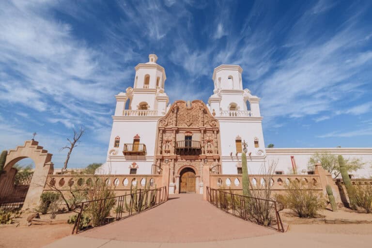
- San Xavier Mission
- Picacho Peak State Park
- Kartchner Caverns State Park
- Chiricahua National Monument
- The wineries in Sonoita & Elgin, including Dos Cabezas, Los Milics, and Rune Wineworks
- Bisbee
- The retro town of Lowell, AZ (near Bisbee)
- Tombstone
