Chiricahua National Monument Could Become Arizona’s Next National Park

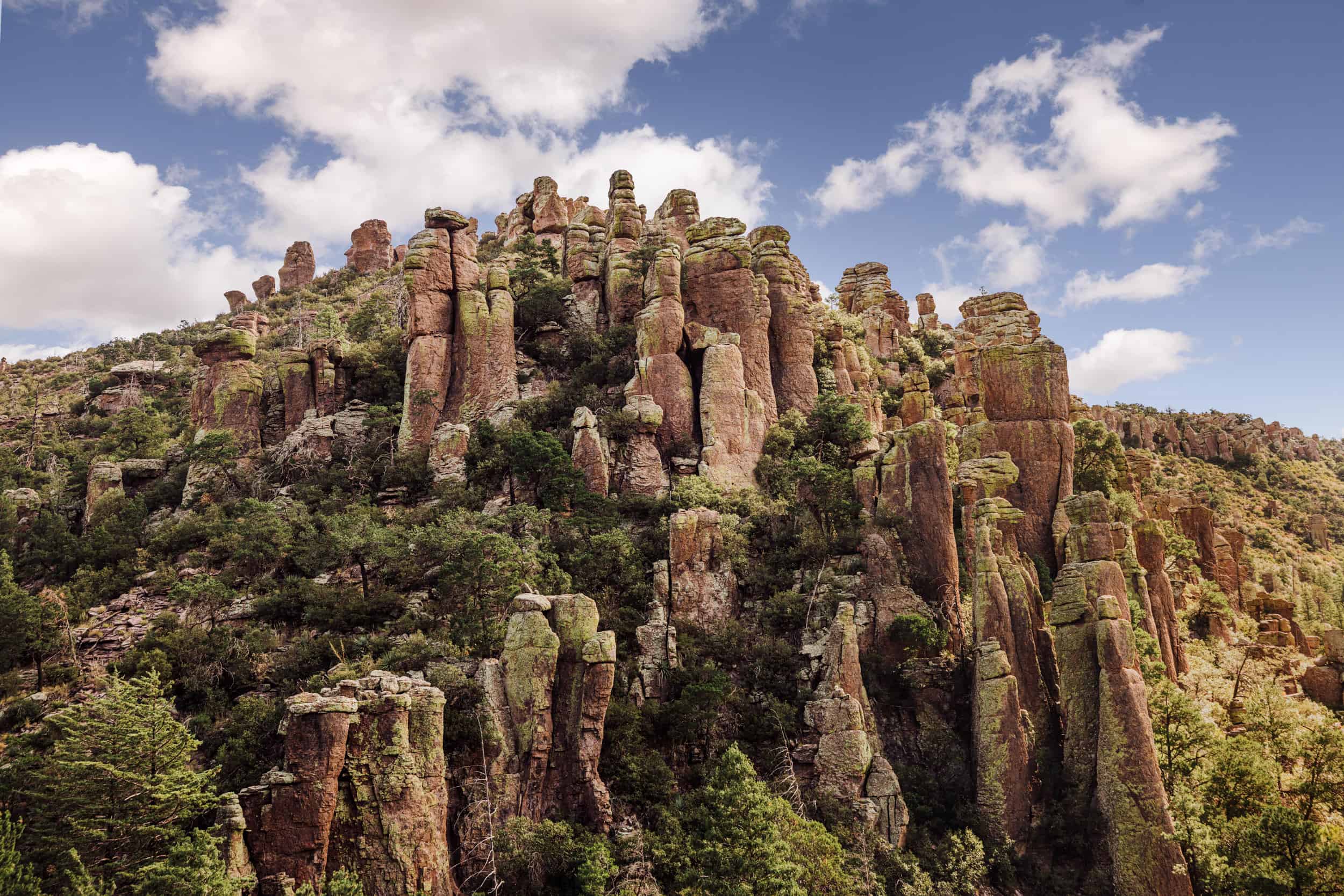
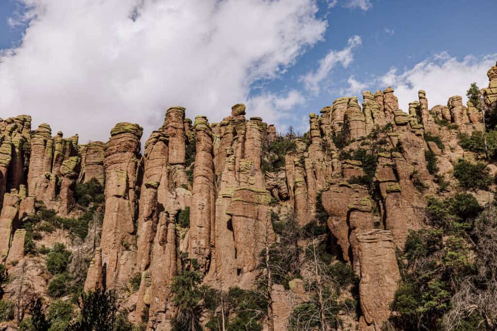
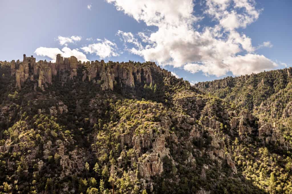
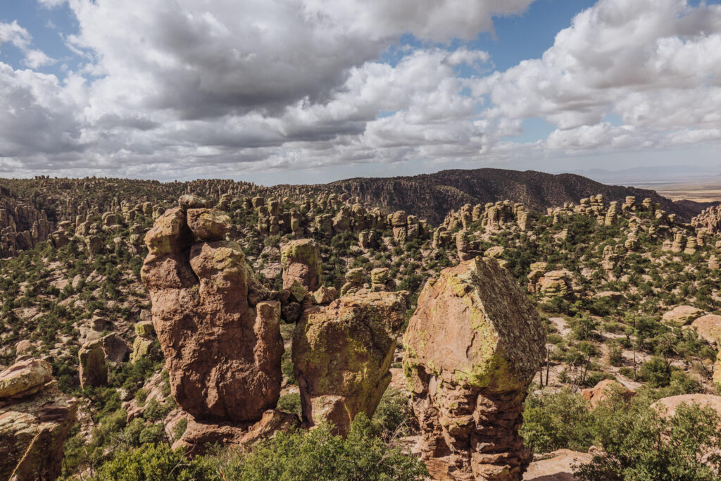
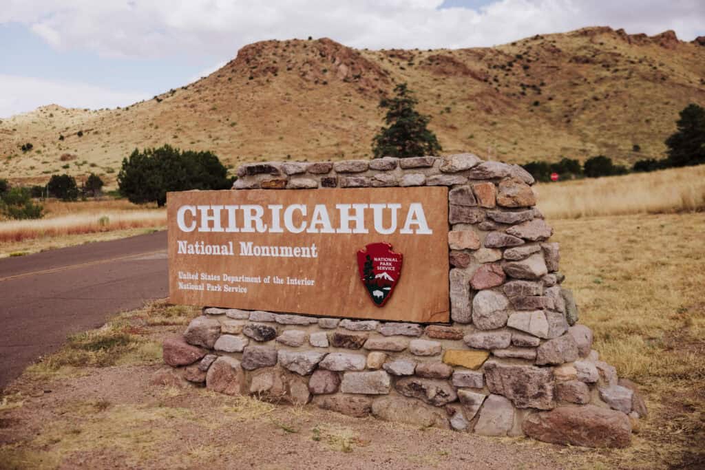
Chricahua National Monument is tucked away in a rural part of southeastern Arizona. Known for its towering rock formations, created by volcanic activity and millions of years of erosion, some say it should become a national park.
A lot of boxes would have to be checked before that happens. In the meantime, Chiricahua National Monument is well worth a visit for hikers, photographers, nature lovers, campers, and anyone who appreciates the unique views.
Key Info on Chiricahua
- Location: About 120 miles east of Tucson, AZ.
- Entry cost: Free.
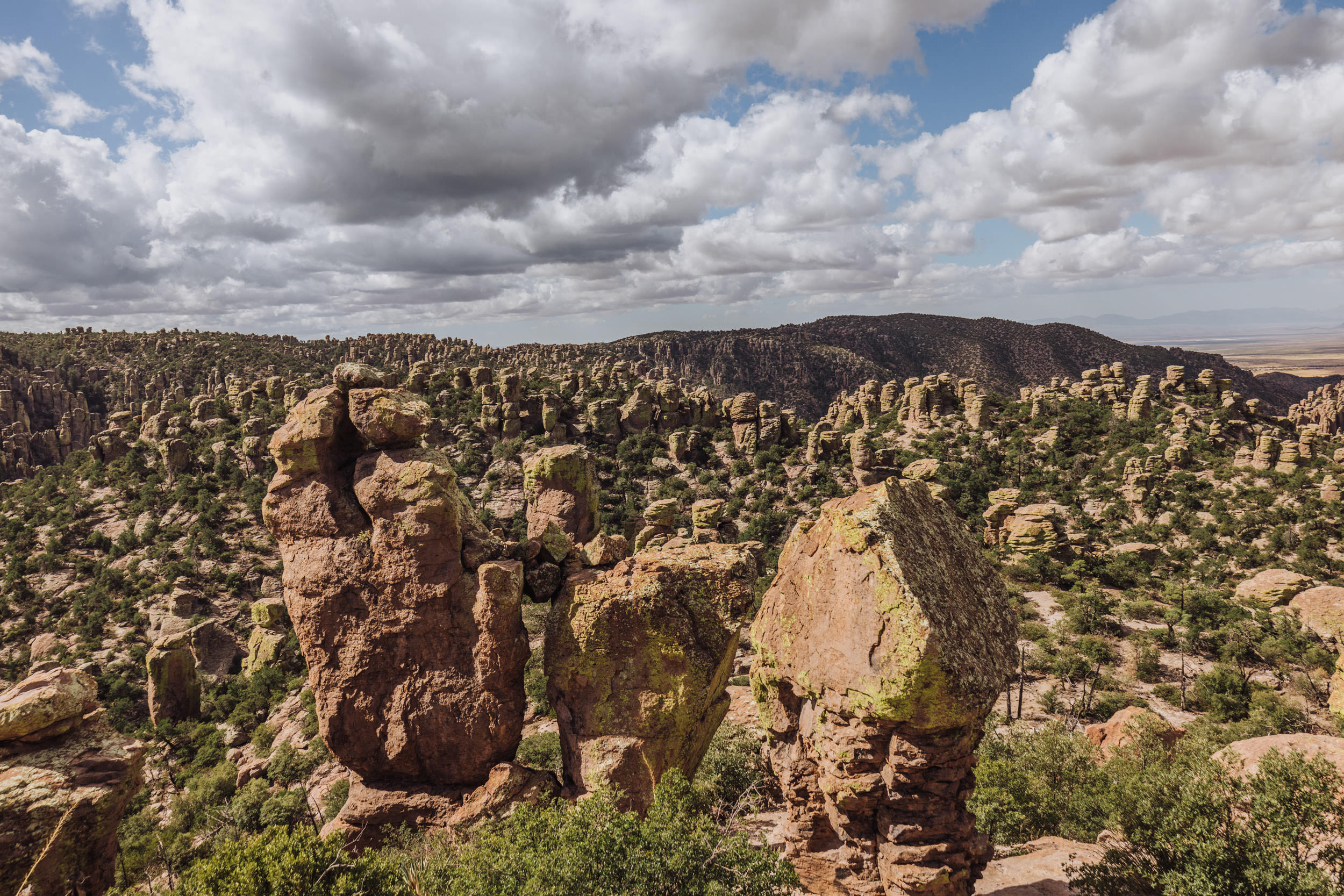
- Nickname: The “Wonderland of Rocks.”
- Visitor Center: Open daily and provides maps, trail information, and exhibits on geology.
- Best Time to Visit: Spring and fall offer the best weather for hiking.
- Top Trails for Views: Echo Canyon Trail, Heart of Rocks Loop, and Massai Point Nature Trail.
- Camping: Bonita Canyon Campground is the only campground, and reservations are required.
Visiting Chiricahua National Monument
Chiricahua National Monument receives around 60,000 visitors annually. Numbers peaked at around 62,500 in 2023.
Driving through the desert east of Tucson (about a two-hour drive) you’ll find it hard to imagine that the famous towering rock formations are ahead of you, somewhere in the flat landscape.
Even at the entrance to the monument area, you won’t be able to see the rocks.
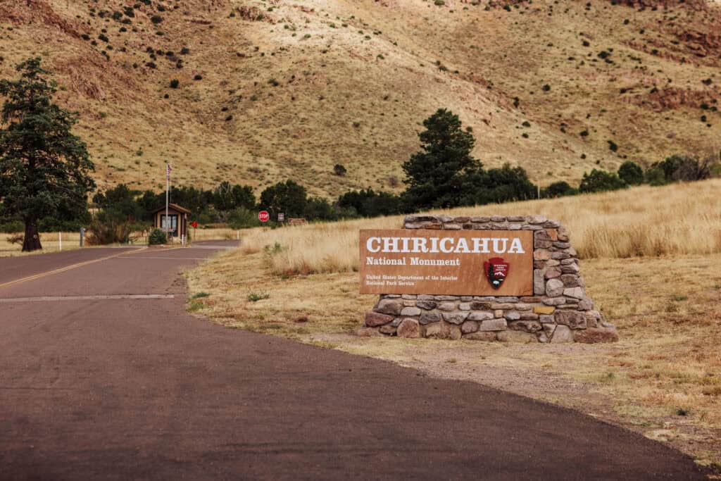
You can stop in the visitor center, or just cruise through. There’s one road that will take you through the entire park.
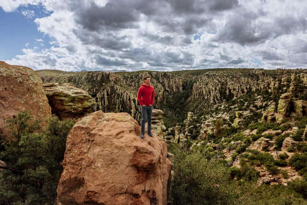
After passing the small campground, you’ll start to climb and notice the surrounding landscape change into what you drove all this way for!
Hikers usually head to the Echo Canyon Trailhead. It’s a 7.5-mile drive, which will take about 20 minutes.
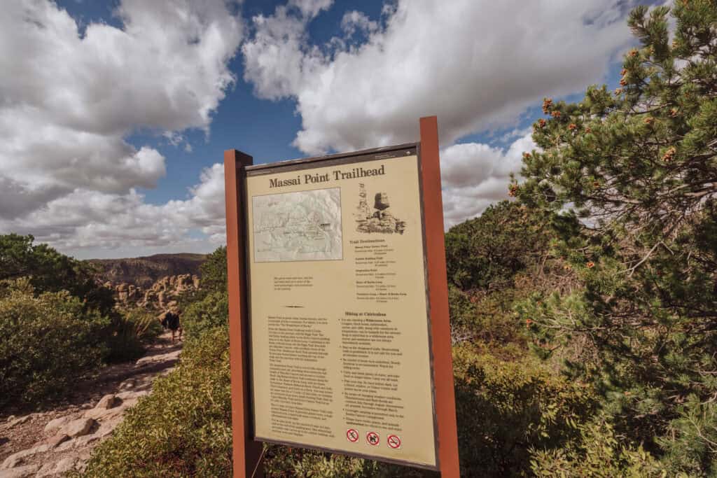
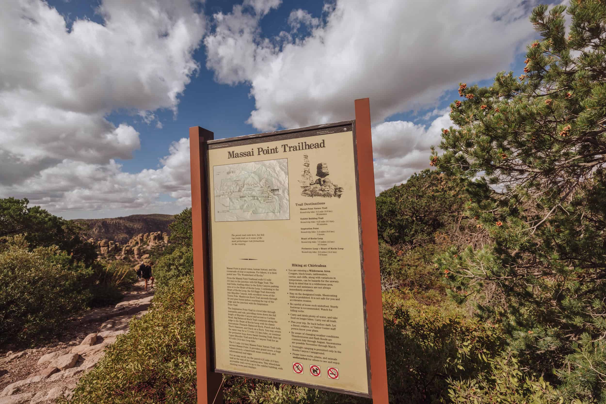
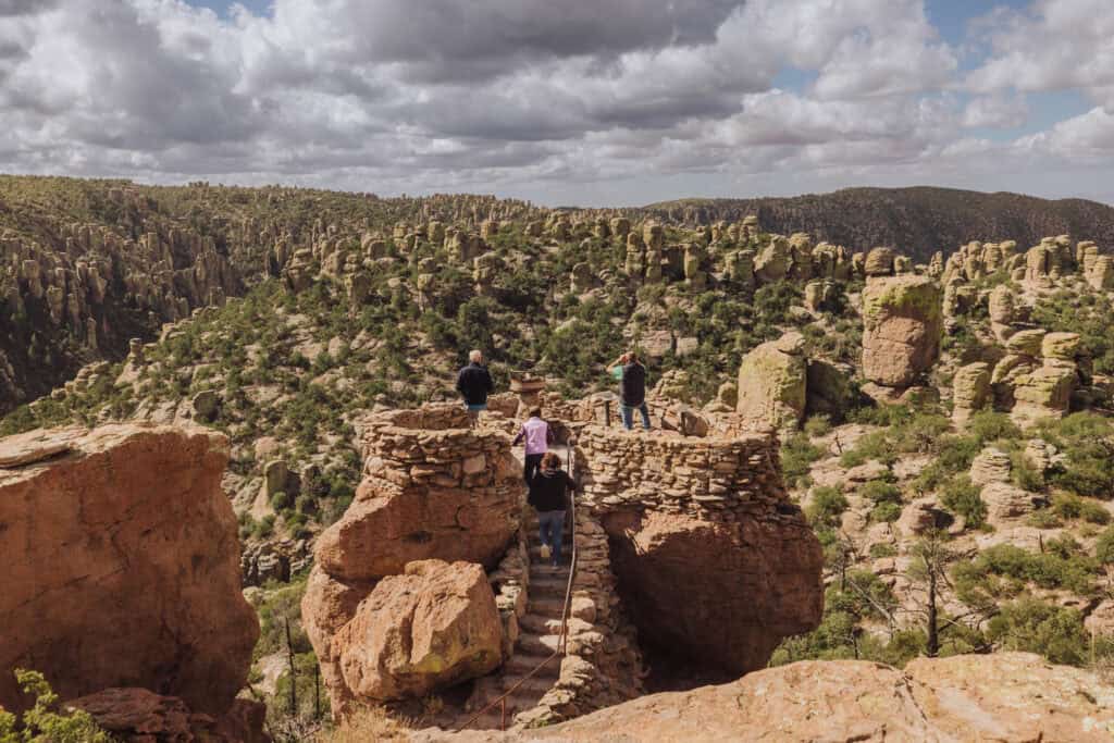
Otherwise, visitors who are less physically inclined can continue on to Massai Point to enjoy the spectacular views.
Hiking Trails at Chiricahua National Monument
Chiricahua National Monument offers several fantastic hiking trails that showcase its unique “Wonderland of Rocks” formations and diverse landscapes. Here are some of the top trails to consider:
Echo Canyon
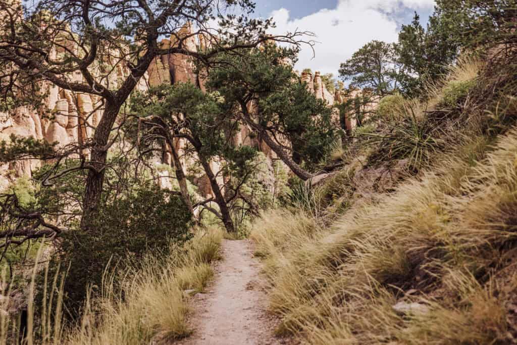
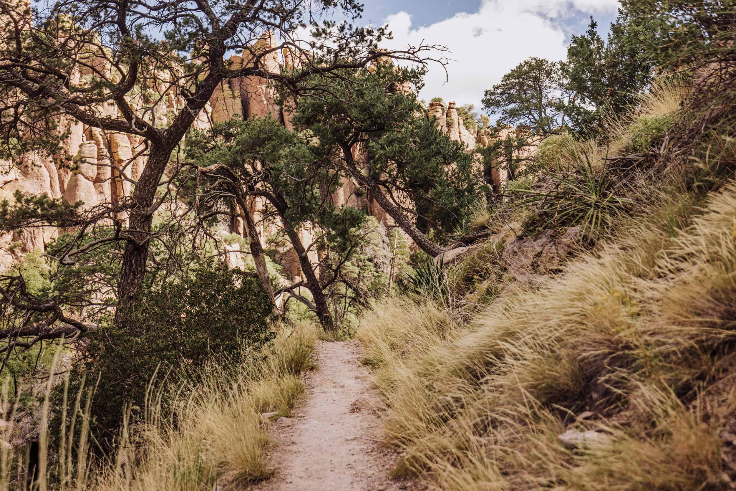
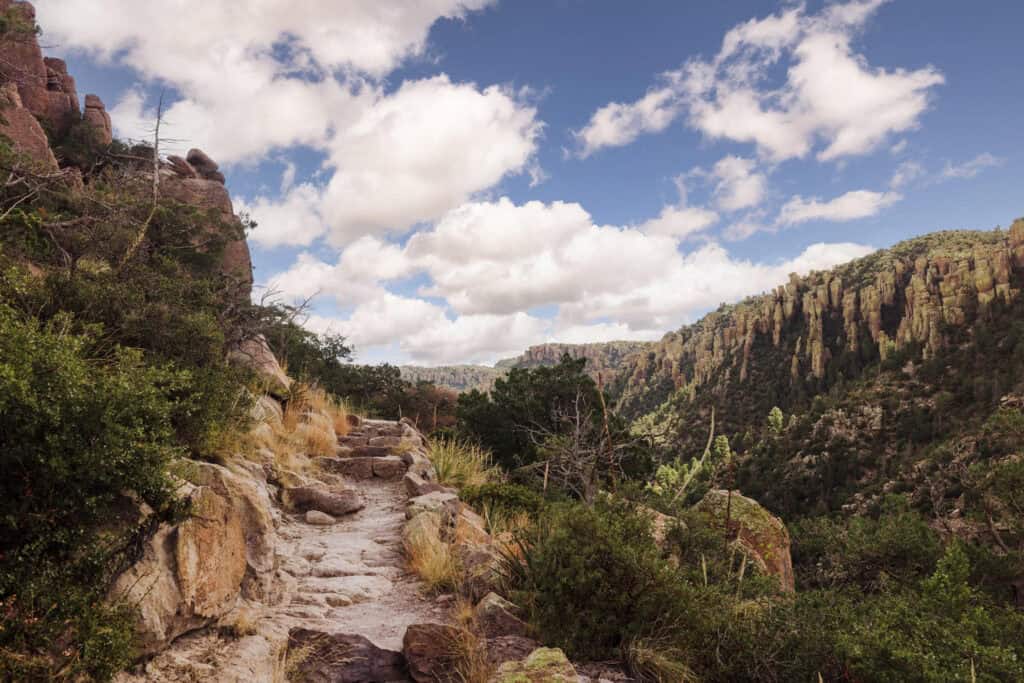
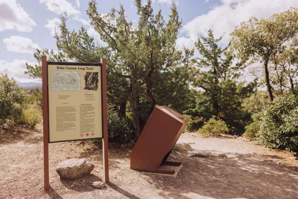
This 4-mile loop is one of the most popular trails in the park, offering views of towering rock formations, along with grottoes and caves.
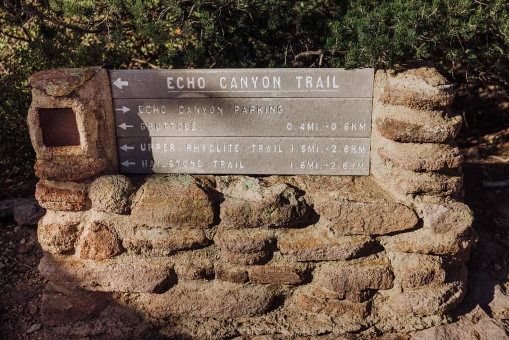
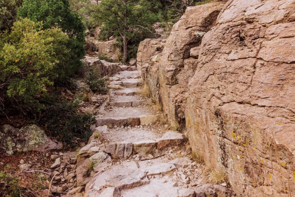
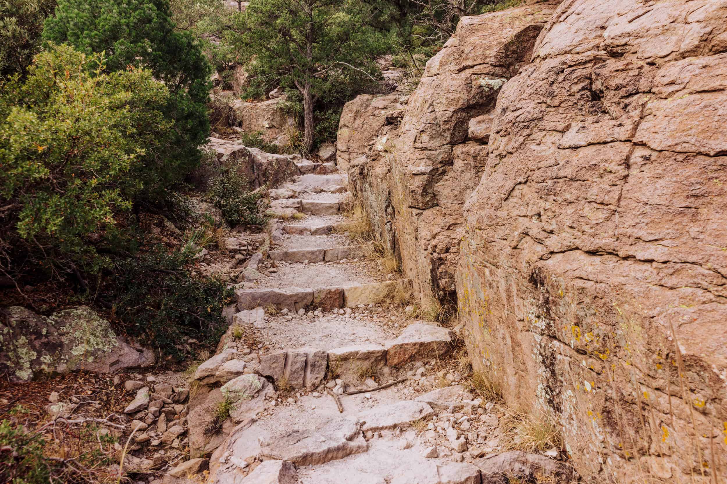
Built nearly a century ago by the Civilian Conservation Corps, the loop consists of the Echo Canyon Trail, Hailstone Trail, and Ed Riggs Trail. It winds down among the pinnacles to Bonita Creek, before circling back to the parking area.
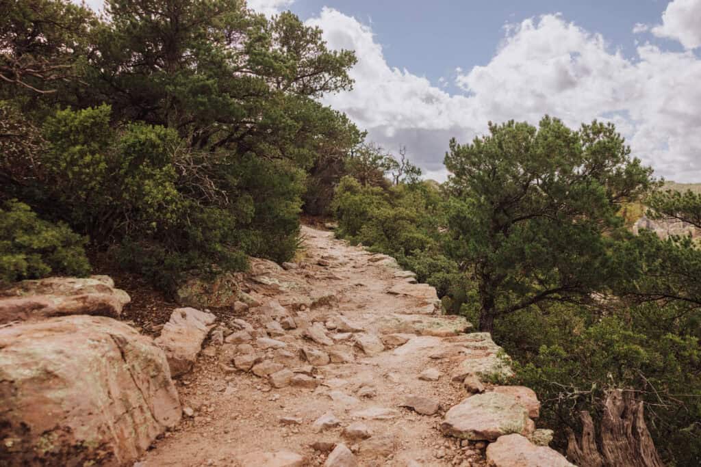
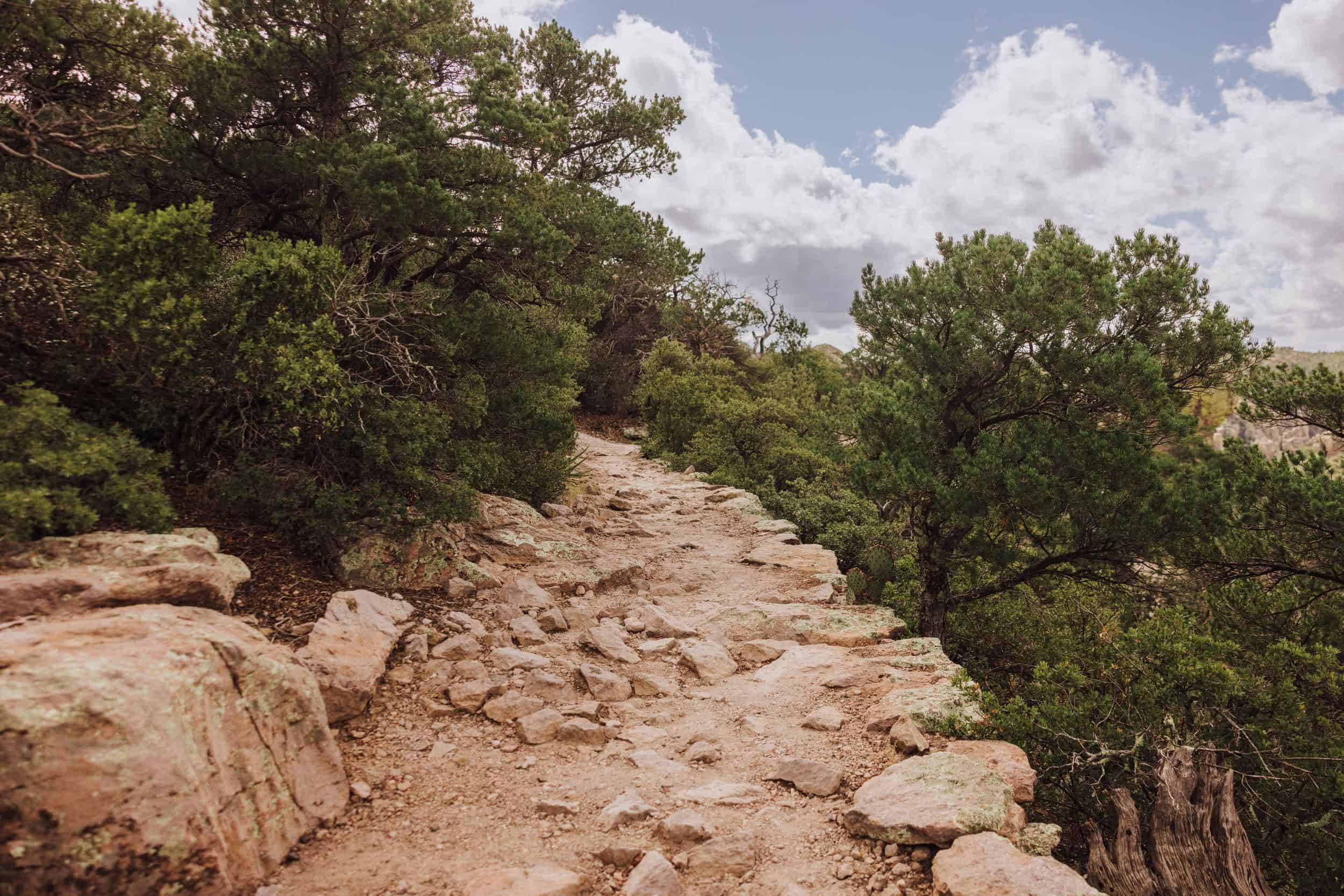
The trail is a mix of dirt and manmade rock steps.
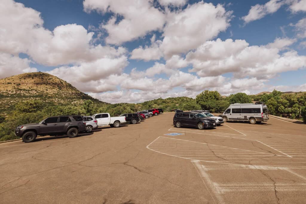
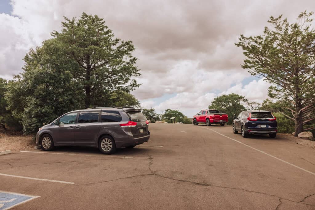
I get anxious about trailhead parking, but there’s a decent-sized lot at Echo Canyon. On busy days, it’ll fill up, but it’s more sizable than I was expecting!
- Distance: Almost 4 miles
- Difficulty: Moderate
- Time: 2 hours
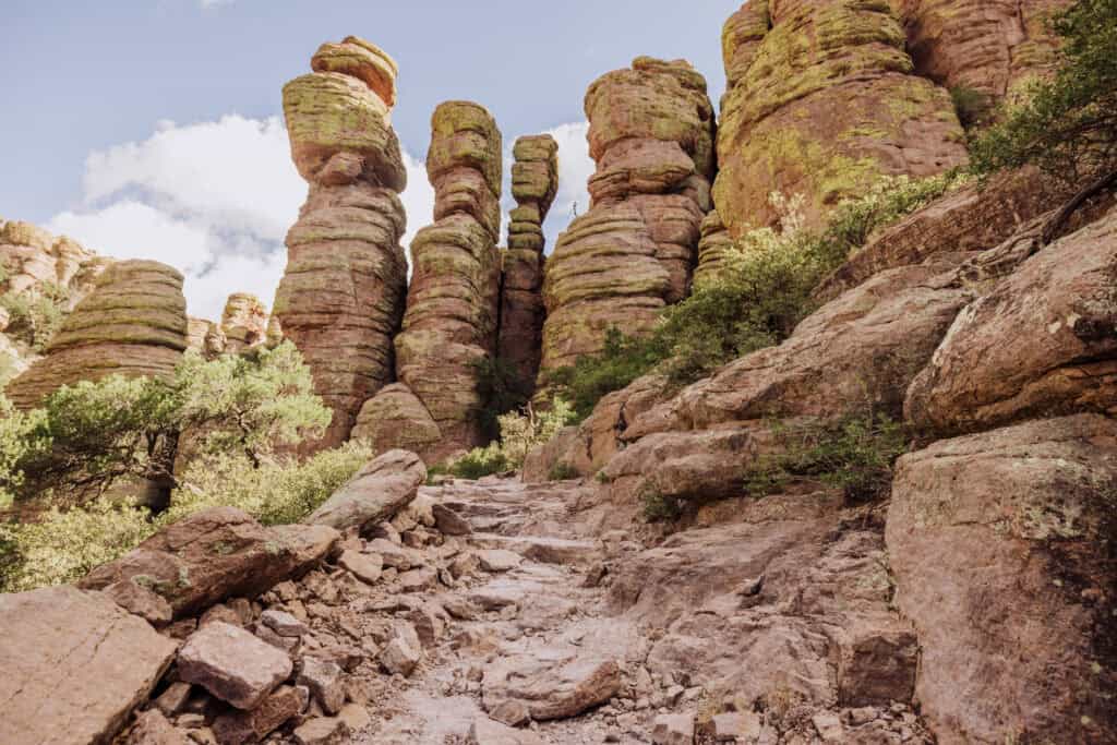
The Grottoes
For an easy hike, beginning at the Echo Canyon Trailhead, walk half a mile down to the Grottoes, located on the right side of the trail. The rock caverns and corridors here were carved by millions of years of water erosion.
- Distance: 1 mile (round trip)
- Difficulty: Easy
- Time: 45 minutes
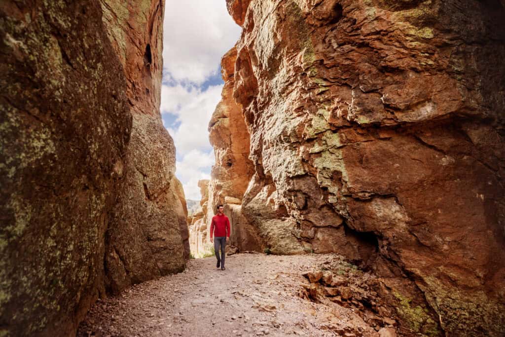
Heart of Rocks Loop
You’ll hike about a mile loop through some of the most iconic formations, including the “Big Balanced Rock.”
Natural Bridge Trail
This is a 5-mile round-trip hike to a natural bridge formation. It’s less trafficked, so you’ll have more peaceful views of the landscape.
Sugarloaf Mountain Trail
This 1.8-mile round-trip trail leads to a high point in the park with sweeping 360-degree views of the Chiricahua Mountains. The climb is moderate, but the views from the top are well worth it.
Massai Point: The Best Viewpoint
Massai Point is just beyond the Echo Canyon Trailhead. It’s ideal for seniors or families or those wanting a quick scenic stop.
The Massai Point Nature Trail is an easy half-mile loop trek, which will bring you to a circular rocky viewing platform.
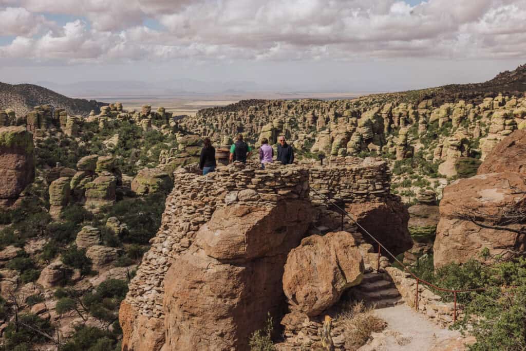
There’s a larger parking lot here, with bathrooms.
Camping Inside the National Monument
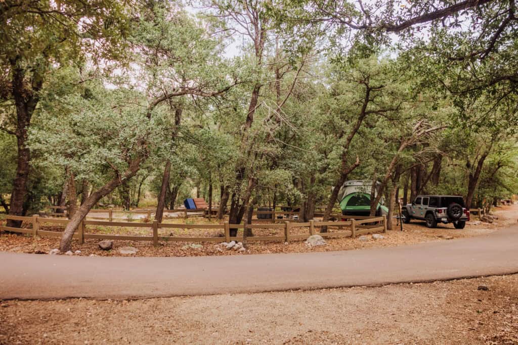
The Bonita Canyon Campground is the only place to camp at Chiricahua. It’s about a mile past the visitor center, and only has about 25 campsites, which require reservations.
It’s a very pretty setting, shaded with trees which create privacy between camping setups.
Accomodations & Access
This campground is open year-round and accommodates tents, small RVs, and trailers up to 29 feet.
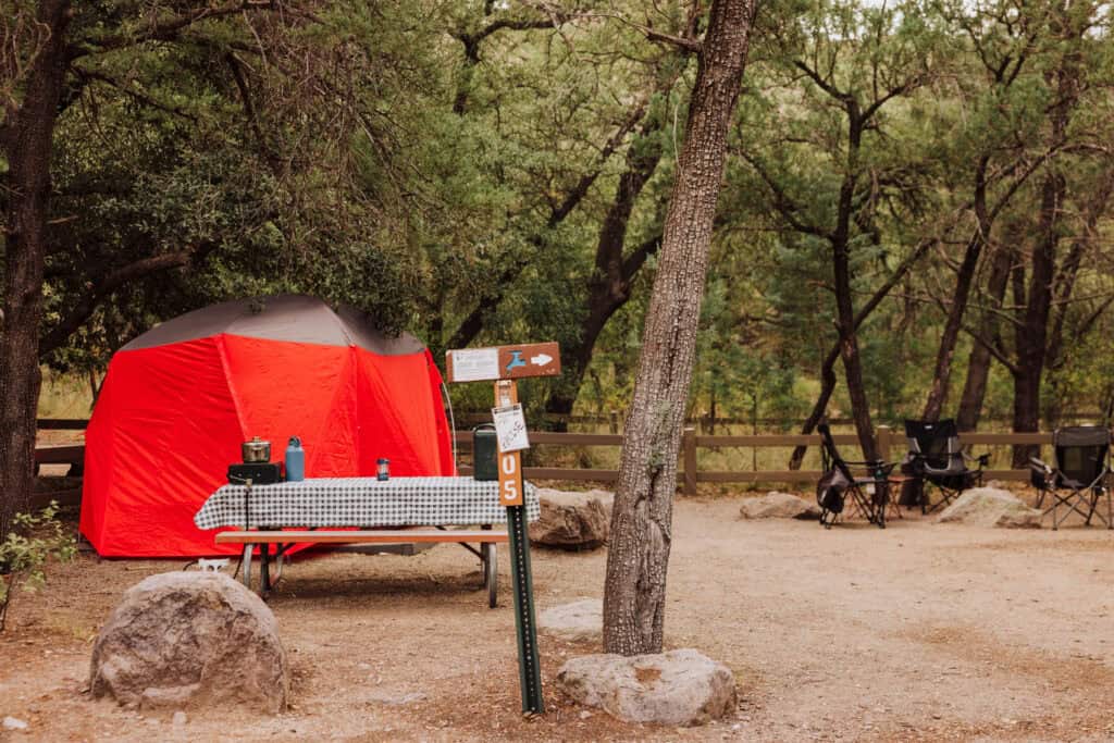
Each site has a picnic table, fire grate, and access to flush toilets, but no showers or hookups are available.
Reservations & Fees
Campsites can be reserved in advance through Recreation.gov.
It’s $25 per night for a standard campsite, and $50 per night for a group site (9 to 24 people).
Discounted rates are available for holders of the America the Beautiful Senior or Access passes.
Where to Stay Near Chiricahua
The National Monument isn’t near any big cities. Here’s a list of the closest cities and landmarks:
- Distance from Phoenix: 230 miles
- Distance from Tucson: 120 miles
- Distance from Albuquerque: 375 miles
- Distance from Las Cruces, NM: 200 miles
- Distance from White Sands National Park: 225 miles
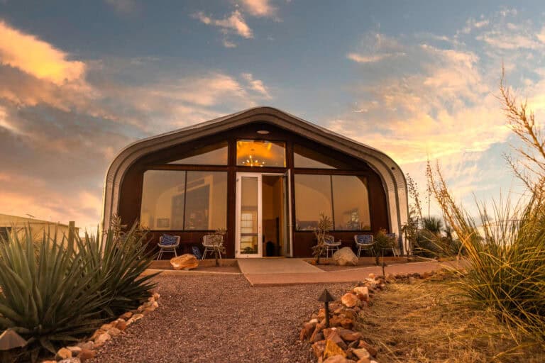
If you’re not into camping, or can’t get a reservation, you can stay in Willcox, AZ. It’s an easy drive from the entrance to the park. You’ll find a few hotels there, along with some wineries and vineyards to check out.
You can plug your dates into this interactive map to get the best rates from Hotels.com, VRBO, Expedia, and other options:
The Best Time to Visit
Each season has its unique appeal, but spring and fall are best for hiking and exploring Chiricahua National Monument.
Here’s a general breakdown of what to expect through the seasons:
Spring
- Daytime temperatures range from the 60s to the 70s °F. Wildflowers may be in bloom, too!
Summer
- Daytime highs often reach into the 90s °F, and summer also brings the risk of monsoon storms. They can be brief but intense bursts of rain, usually from July into September.
Fall
- Fall brings comfortable weather (usually) for exploring Chiricahua. Daytime highs are in the 60s and 70s. The monsoon storms die down by mid-September.
Winter
- Winters at Chiricahua are generally mild, but temperatures can dip below freezing at night, with daytime highs averaging in the 50s °F. Snow is possible, especially at higher elevations.
Making Chiricahua a National Park
The effort to redesignate Chiricahua National Monument as a national park is ongoing, with pretty solid local and legislative support.
Arizona Senator Mark Kelly and Rep. Juan Ciscomani, who represents Southern Arizona in Congress, partnered to re-introduce the “Chiricahua National Park Act” (H.R. 1479), which was reviewed by the U.S. House Committee on Natural Resources Subcommittee on Federal Lands.
Key supporters include the National Parks Conservation Association (NPCA), Cochise County, and local businesses and communities that recognize the benefits of national park status. They believe a national park would boost tourism and the local economy, and also provide stronger protections for Chiricahua.
The NPCA is actively advocating for the legislation, emphasizing that a national park designation would acknowledge the area’s historical significance and ecological importance.
It Won’t Happen Quickly
After passing through committee, the bill would have to be approved by both the US House and Senate, and signed by the president.
In general, creating a new national park involves multiple stages:
- Initial Proposal and Feasibility Study: Community advocates, local governments, or organizations (such as environmental groups) may propose the area for national park status. The National Park Service (NPS) or other designated body often conducts a feasibility study, assessing the site’s natural, cultural, and historical significance, as well as its suitability and potential for long-term management.
- Legislative Introduction: If the study supports the proposal, a member of Congress can introduce a bill for the park’s establishment.
- Committee Review: The bill is reviewed by House and Senate committees, usually involving public hearings where stakeholders and experts testify on the park’s merits and potential impacts.
- Approval by Both Chambers: The bill needs to be passed by both the House of Representatives and the Senate, and then signed by the president.
- Implementation and Management Planning: After designation, the NPS develops a comprehensive management plan. This includes infrastructure, conservation strategies, and visitor amenities, ensuring long-term protection and accessibility.
This process is complex and often spans years, reflecting the high value placed on balancing preservation with public access and local community interests.
Challenges to National Park Status
Chiricahua National Monument is smaller than most national parks, and would require infrastructure upgrades. For one thing, the road, while nicely paved and equipped to handle a moderate amount of traffic, wouldn’t be able to handle the influx of visitors a national park would expect.
How the Chiricahuas Formed
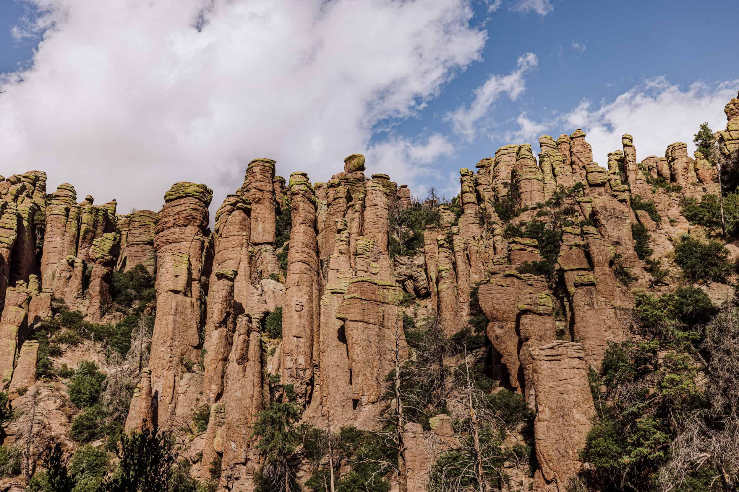
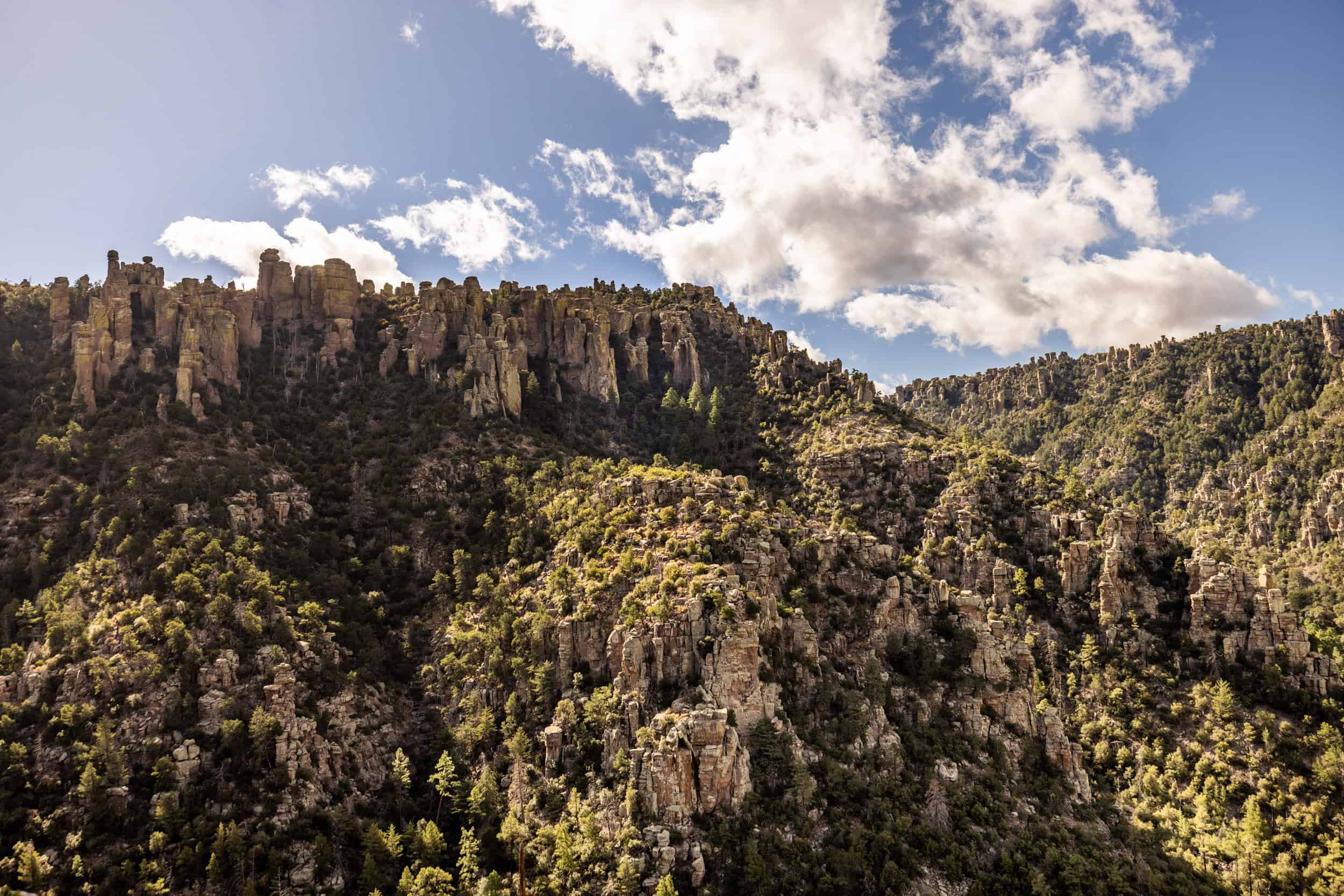
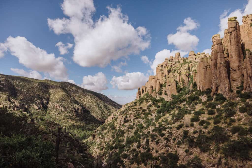
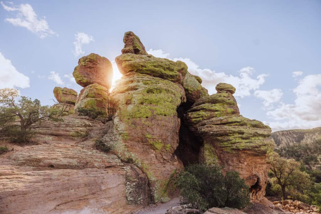
The Chiricahua Mountains were formed by volcanic activity around 27 million years ago. As the lava cooled and hardened, it created thick layers of rock which over millions of years eroded into the unique and dramatic formations we can visit today.
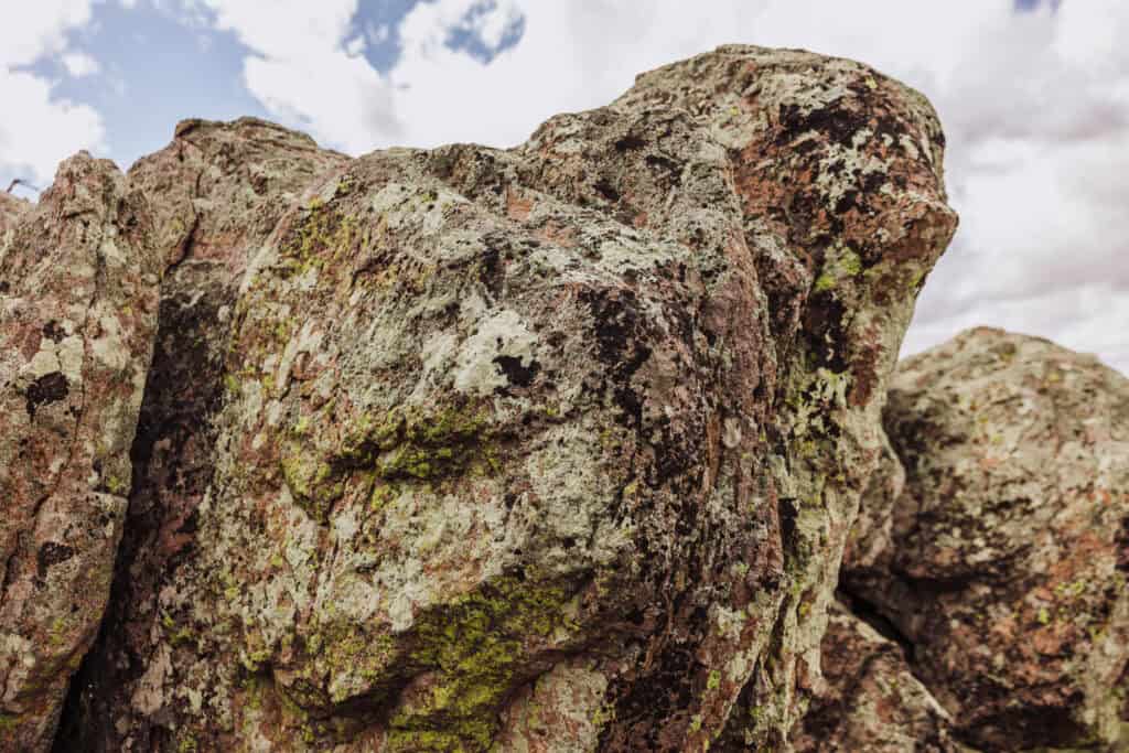
Erosion and weathering played a significant role in shaping the Chiricahuas’ landscape. The rock, created by the lava flows, is relatively soft or brittle. Wind, water, and freeze-thaw cycles carved the rocks into spires and columns.
Chiricahua National Monument Photos
Other Arizona National Monuments and Parks
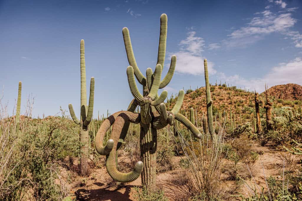
Arizona is home to three national parks: Grand Canyon, Petrified Forest, and Saguaro National Parks (photo below).
“State 48” is also home to a number of national monuments, including:
- Canyon de Chelly National Monument – Native American cliff dwellings and archaeological sites.
- Casa Grande Ruins National Monument – Ancient Hohokam structures.
- Coronado National Memorial – Commemorates the Spanish explorer Coronado’s expedition.
- Montezuma Castle National Monument – Features well-preserved cliff dwellings.
- Organ Pipe Cactus National Monument – Protects a large stand of organ pipe cactus and desert wilderness.
- Sonoran Desert National Monument – Protects a large area of the Sonoran Desert ecosystem.
- Sunset Crater Volcano National Monument – Preserves a cinder cone volcano and surrounding lava fields.
- Vermilion Cliffs National Monument – Known for its colorful cliffs, canyons, and The Wave rock formation.
- Walnut Canyon National Monument – Contains cliff dwellings along a scenic canyon.
FAQs on Visiting Chiricahua National Monument
Let’s go over a few frequently-asked-questions, some of which were already answered above.
What’s the closest city to Chiricahua National Monument?
Willcox is a small city about 35 miles west of the entrance to Chiricahua.
Tucson is the closest city with an airport, about 120 miles west.
What’s the best time of year to visit?
For me, it’s probably fall. The crowds are smaller, and the heat and threat of monsoons in the summer months are gone.
What’s the entrance fee?
It’s free to enter Chiricahua National Monument. Camping requires a reservation and a nightly fee.
How do you pronounce Chiricahua?
I should’ve started with this one! It’s CHEER-ih-KA-wuh.
Is Chiricahua dog-friendly?
Yes, dogs must be leashed in the park, and are permitted in the campground and on these trails:
- Silver Spur
- Faraway Ranch
- Bonita Creek
- The trail connecting the campground to the visitor center
What other sites are nearby?
Southern Arizona is home to other great destinations:
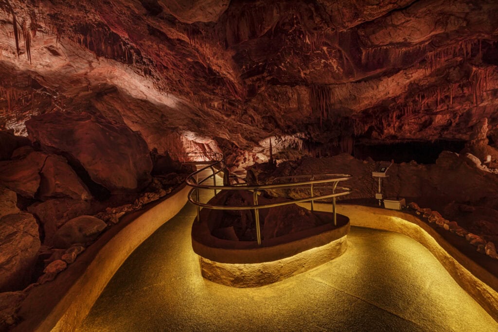
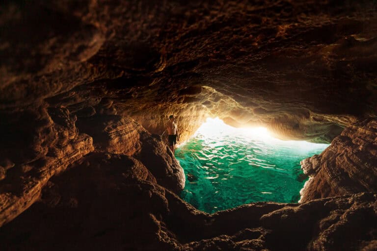
- Kartchner Caverns (photo below)
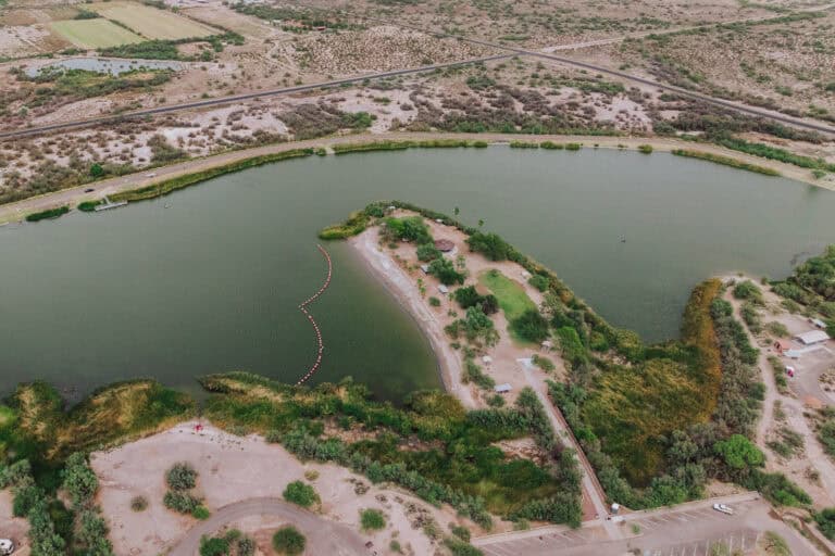
- Fishing at Roper Lake and Dankworth Pond
- Saguaro National Park
- Colossal Cave
- San Xavier Mission
- Picacho Peak State Park
- The wineries in Sonoita & Elgin, including Dos Cabezas, Los Milics, and Rune Wineworks
- Bisbee
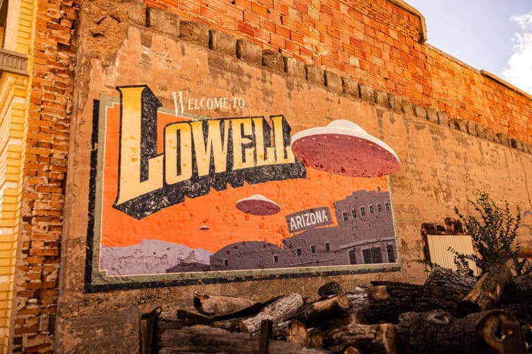
- Lowell, AZ (near Bisbee)
- Tombstone
